3 trails found in Idaho
Which "cow creek" are you looking for?
We found 3 off-road trails in Idaho matching your search. Pick the one you're looking for below.
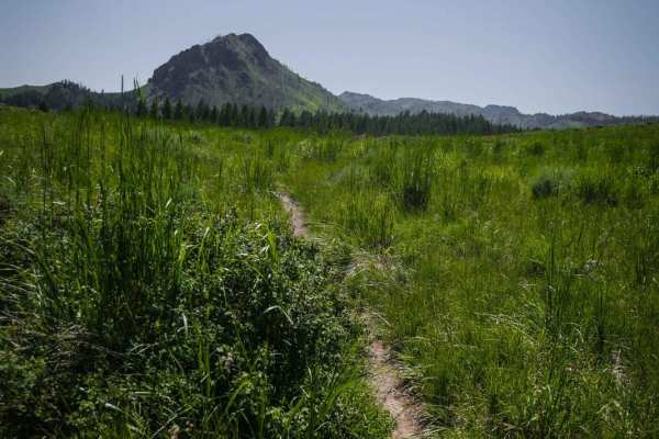
Cow Creek Shortcut
This shortcut meanders through meadows and forest on a narrow dirt trail with embedded rocks, connecting Cow Creek to Mahoney Ridge. It has a shallow creek crossing with bony rocks sticking up that is lined with a bunch of dead bushes. The trail goes in and out of aspen trees for short sections, but...
Learn more about Cow Creek Shortcut
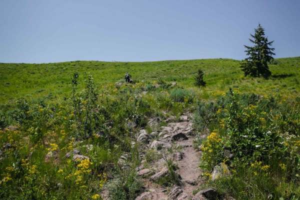
Cow Creek
Cow Creek starts directly from the Greenhorn Staging Area. The beginning is a series of wide sweeping switchbacks up a beautiful green hillside on a very rocky trail. There are big round or jagged boulders in the center of the trail and lots of two-foot wide rocks embedded in the trail that you have...
Learn more about Cow Creek
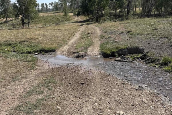
Indian Creek - Cow Camp
This is the most easily runnable Public-Land only route from 10 Mile Pass / Indian Creek area to the Cow Camp area. It is all dirt starting from the Indian Creek trailhead off of 10-mile pass road. This route skirts the northeastern base of the Chesterfield range. You will pass through a variety of...
Learn more about Indian Creek - Cow Camp