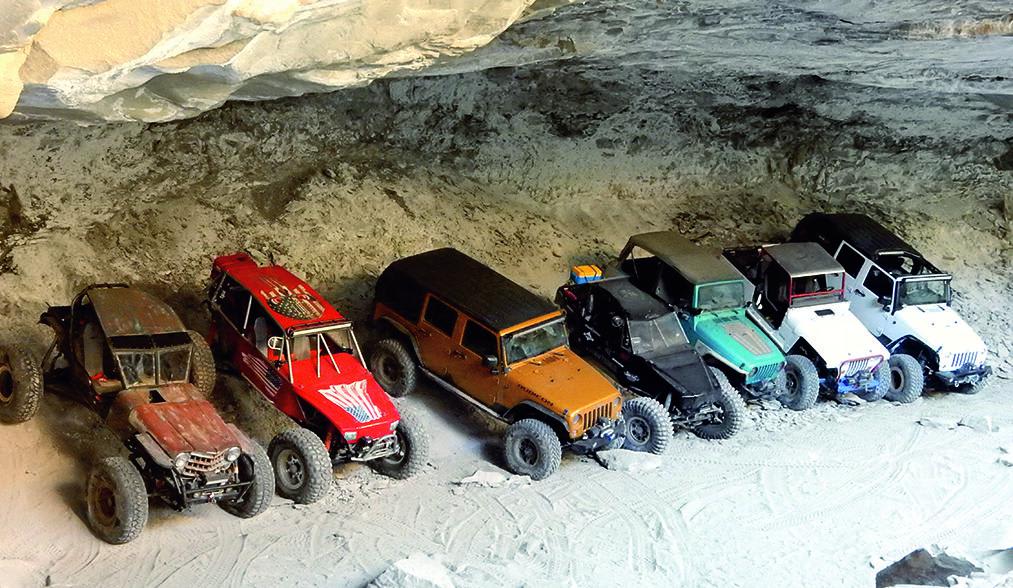
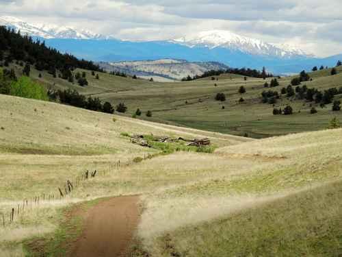
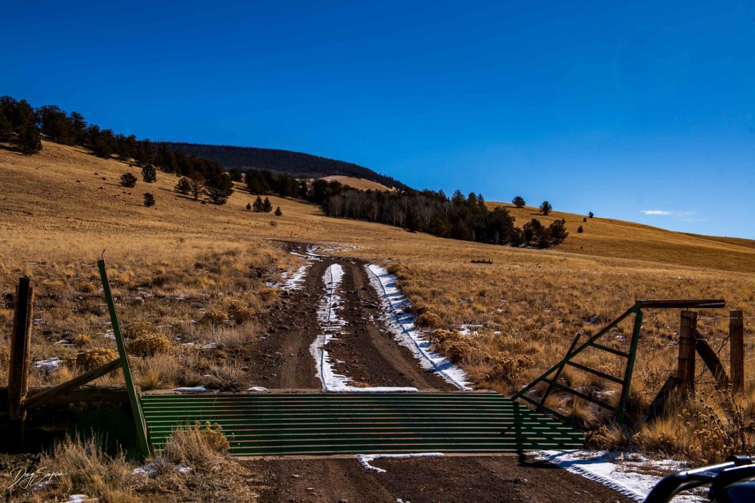
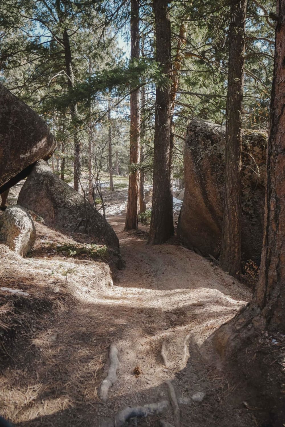
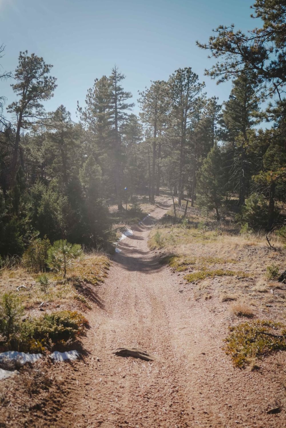
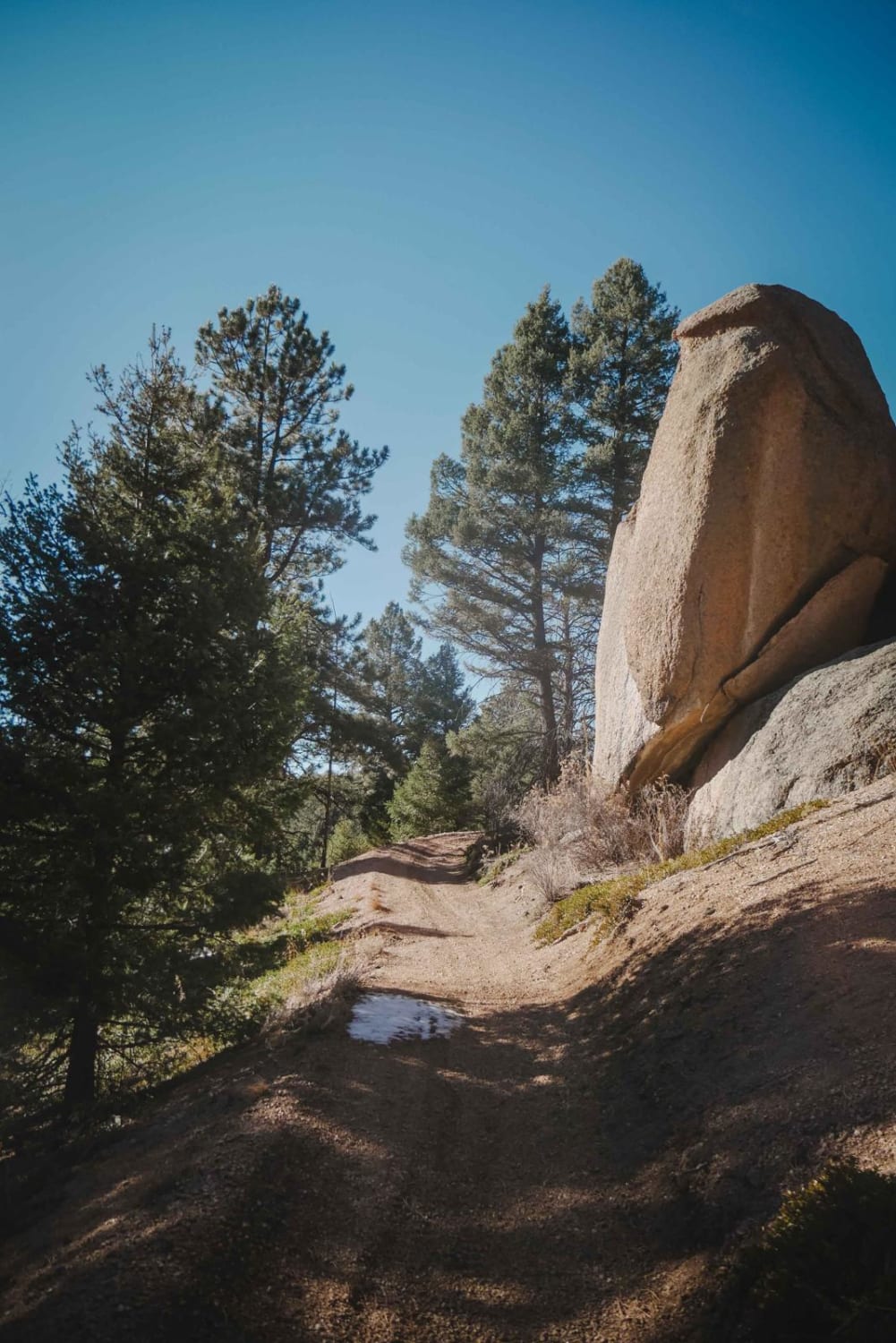
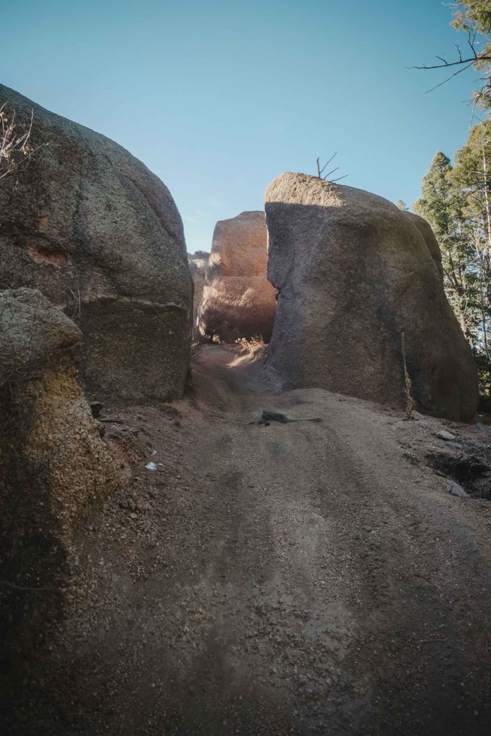
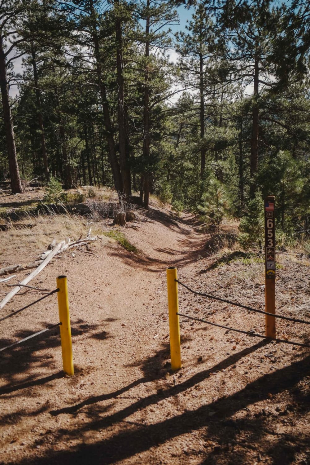
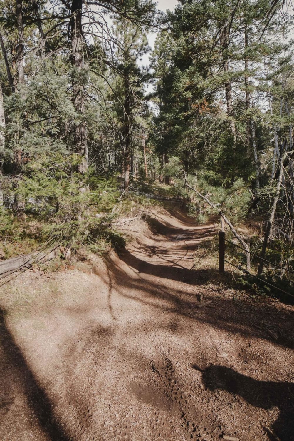
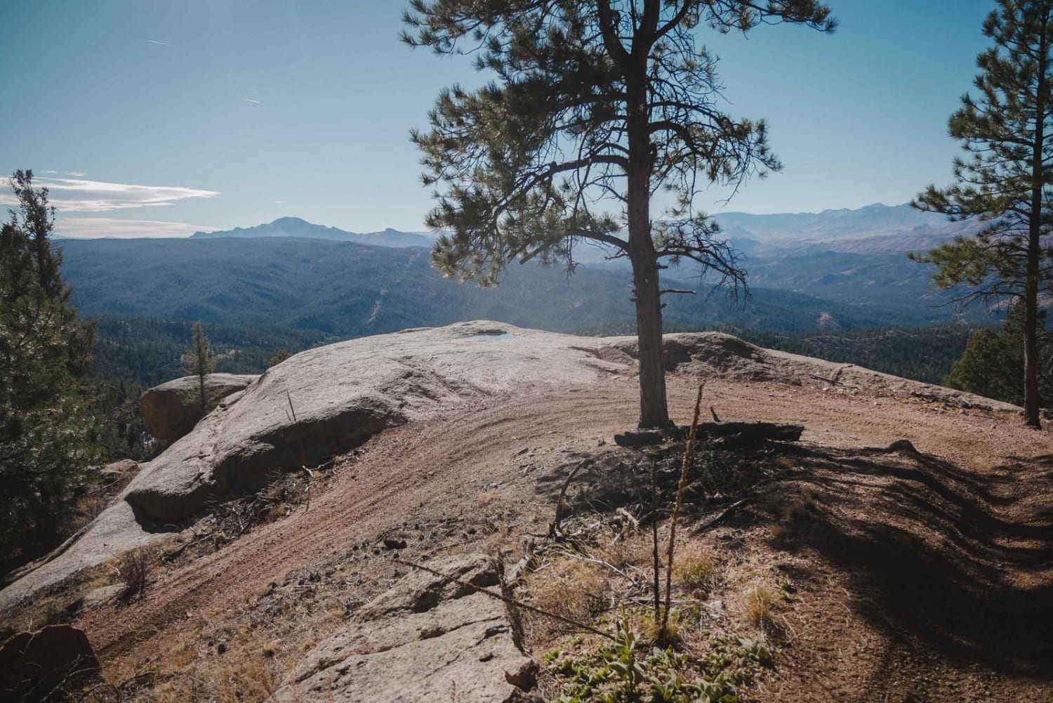
Off-Road Trails in Colorado
Discover off-road trails in Colorado
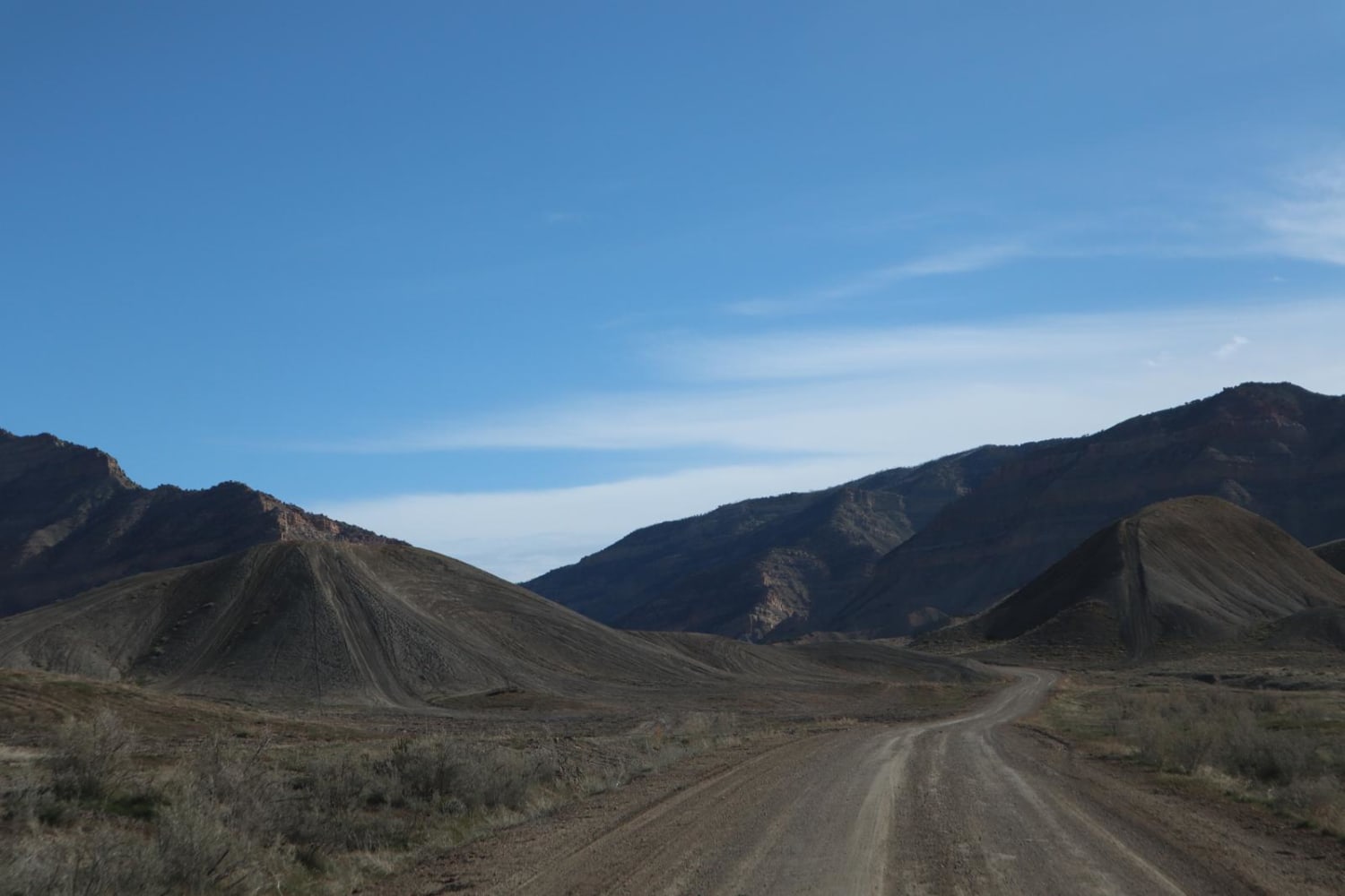
Learn more about 16 Road, Coal Gulch

16 Road, Coal Gulch
Total Miles
14.1
Tech Rating
Easy
Best Time
Spring, Fall
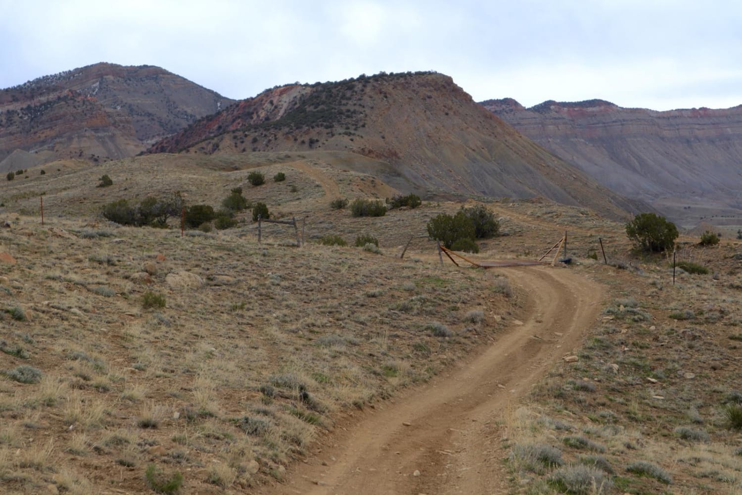
Learn more about 21 Road South
21 Road South
Total Miles
3.9
Tech Rating
Easy
Best Time
Spring, Summer, Fall, Winter
Learn more about 25 and 27 1/4 Connector
25 and 27 1/4 Connector
Total Miles
2.1
Tech Rating
Easy
Best Time
Spring, Summer, Fall
Learn more about 25 Mesa Road
25 Mesa Road
Total Miles
27.6
Tech Rating
Easy
Best Time
Summer, Fall, Spring
Learn more about 31 Mile Creek
31 Mile Creek
Total Miles
16.8
Tech Rating
Easy
Best Time
Summer, Fall
Learn more about 39 Mile Mountain Part 2
39 Mile Mountain Part 2
Total Miles
8.4
Tech Rating
Easy
Best Time
Spring, Summer, Fall, Winter
Learn more about 39 Mile Mountain Road

39 Mile Mountain Road
Total Miles
5.4
Tech Rating
Easy
Best Time
Spring, Summer, Fall, Winter
Learn more about 627 Beginner ATV Trail
627 Beginner ATV Trail
Total Miles
11.5
Tech Rating
Easy
Best Time
Spring, Summer, Fall
Learn more about 649 Trout Creek ATV Trail
649 Trout Creek ATV Trail
Total Miles
1.2
Tech Rating
Easy
Best Time
Spring, Summer, Fall
Learn more about 649A Trout Creek Connection ATV Trail
649A Trout Creek Connection ATV Trail
Total Miles
2.0
Tech Rating
Easy
Best Time
Spring, Summer, Fall
Learn more about 650 Long Hollow ATV Trail
650 Long Hollow ATV Trail
Total Miles
7.9
Tech Rating
Moderate
Best Time
Spring, Summer, Fall
Learn more about 654 Roi Tan ATV Trail
654 Roi Tan ATV Trail
Total Miles
1.1
Tech Rating
Moderate
Best Time
Spring, Fall, Summer
Learn more about 657 Gramps ATV Trail
657 Gramps ATV Trail
Total Miles
2.7
Tech Rating
Easy
Best Time
Spring, Summer, Fall
Learn more about 662 ATV Trail
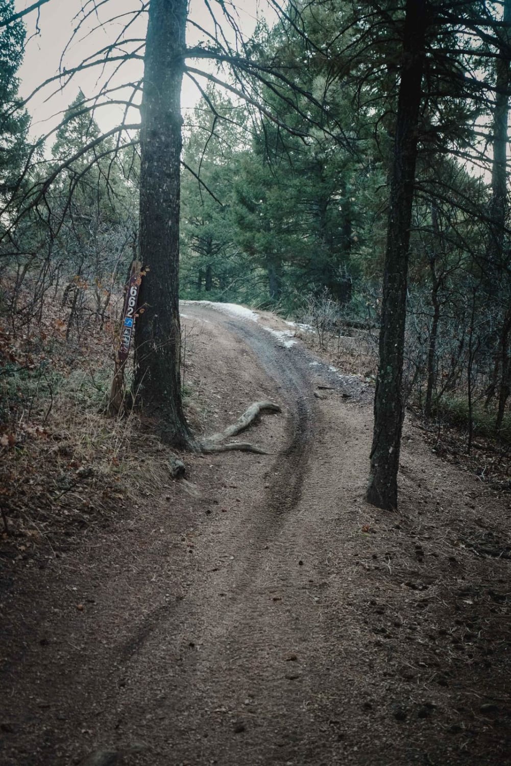
662 ATV Trail
Total Miles
2.7
Tech Rating
Easy
Best Time
Spring, Summer, Fall
Learn more about 673 Barr ATV Trail
673 Barr ATV Trail
Total Miles
3.5
Tech Rating
Easy
Best Time
Spring, Summer, Fall
Learn more about 674 Flatrock ATV Trail
674 Flatrock ATV Trail
Total Miles
3.7
Tech Rating
Moderate
Best Time
Spring, Summer, Fall
Learn more about 675 Cabin Ridge ATV Trail
675 Cabin Ridge ATV Trail
Total Miles
6.2
Tech Rating
Moderate
Best Time
Spring, Summer, Fall
Learn more about 675 Noddle ATV Trail
675 Noddle ATV Trail
Total Miles
11.4
Tech Rating
Moderate
Best Time
Spring, Summer, Fall
Learn more about 677 Log Jumper ATV Trail
677 Log Jumper ATV Trail
Total Miles
7.2
Tech Rating
Easy
Best Time
Spring, Summer, Fall
Go Farther
Try onX Offroad Elite for free for a week — no strings attached. Get access to thousands of off-road dirt trails and snowmobile trails across the nation. View your favorite zones in 3D. Send trails to friends. Start planning the trip of a lifetime now.