2 trails found in Arizona
Which "shannon basin trail" are you looking for?
We found 2 off-road trails in Arizona matching your search. Pick the one you're looking for below.

Shannon Basin Trail
This 10.7-mile point-to-point trail travels through the Shannon Basin. Old mines and scenic views of the Mohave and Sonoran Desert vegetation abound on this trail. This trail takes you to the southeast slope of the Hualapai Mountains. At the midpoint of this trail, you can see an old chimney from an...
Learn more about Shannon Basin Trail
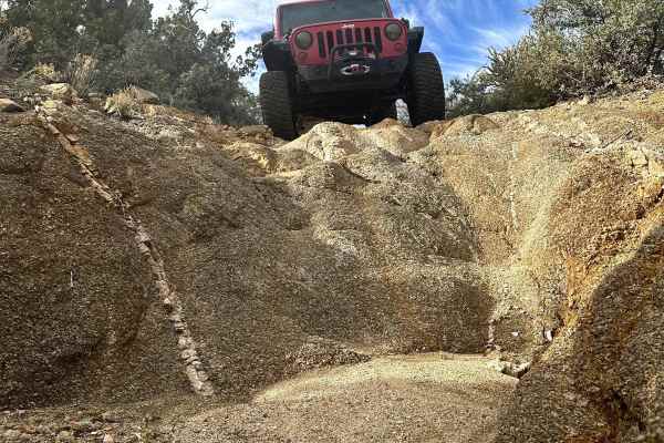
Shannon Basin Alt Trail
This 3.6-mile point-to-point trail is an alternate route for the Shannon Basin Trail. The trail is all single-vehicle with several washed-out sections creating off-camber travel. At the halfway point there is a waterfall obstacle that is up to 18". There are several steep grades with loose rocks. Ce...
Learn more about Shannon Basin Alt Trail