x-icon
Access Initiatives
Support
Redeem Card
Contact Us
Business Inquiries
Careers
x-icon
Back
App
Features
Pricing
Elite Membership
Learn about Elite
Pro Deals
Expert Resources
Research Tools
Application Season
Application Season
More
Pick Your State
Masterclasses
Blog
Feature Films
Ambassadors
Tutorials
GPS Unit Maps
Merch Shop
onX
onX Hunt
onX Offroad
onX Backcountry
Access Initiatives
App
Features
Pricing
Elite Membership
Learn about Elite
Pro Deals
Expert Resources
Research Tools
Application Season
Application Season
More
Pick Your State
Masterclasses
Blog
Feature Films
Ambassadors
Tutorials
GPS Unit Maps
Merch Shop
Start Free Trial
Open Map
Hunt Research Tools
Application Season
Idaho
Hunting Units
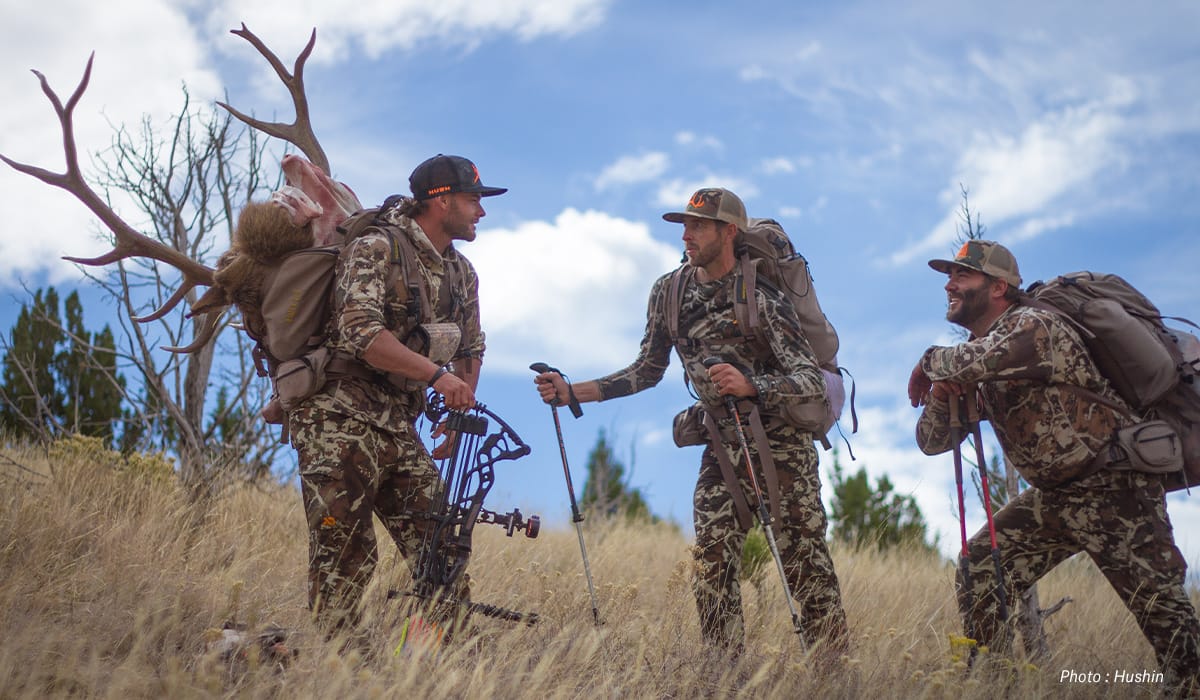
Idaho Hunting Units
Maps, regulations, and land access information
The #1 GPS Hunting App
975 million acres of public land
10,668 unique hunting units
421 map overlays and counting
5,000 game wardens approve
Get the onX Hunt App
We use cookies to enhance your online experience. By using this website you agree to our
Privacy Policy
.
Close