Experience onX’s New 3D Maps on Your Desktop
We are excited to launch our new fully-featured 3D integration for the onX desktop mapping experience. Just in time for scouting season, this release gives you the industry-leading 3D experience you’ve been dreaming about. This new launch includes the ability to view all map layers in 3D, create and view all Markups in 3D, and a unified experience between 2D/3D at all times. We’re deep into application and tag drawing season, so now that you’ve got some tags in your pocket for the upcoming hunting season, it’s time to do your scouting on the big screen. Your hunts are going to happen in 3D, and your scouting should as well!
Remember, when using 3D—or even 2D—press your computer’s control key while left-clicking, then drag with your cursor to tilt and pan the map for the exact viewing angle you’re after. This allows you to visualize what you can see from any particular location on the map, as well as giving a precise understanding of how the topography lays out in real life.
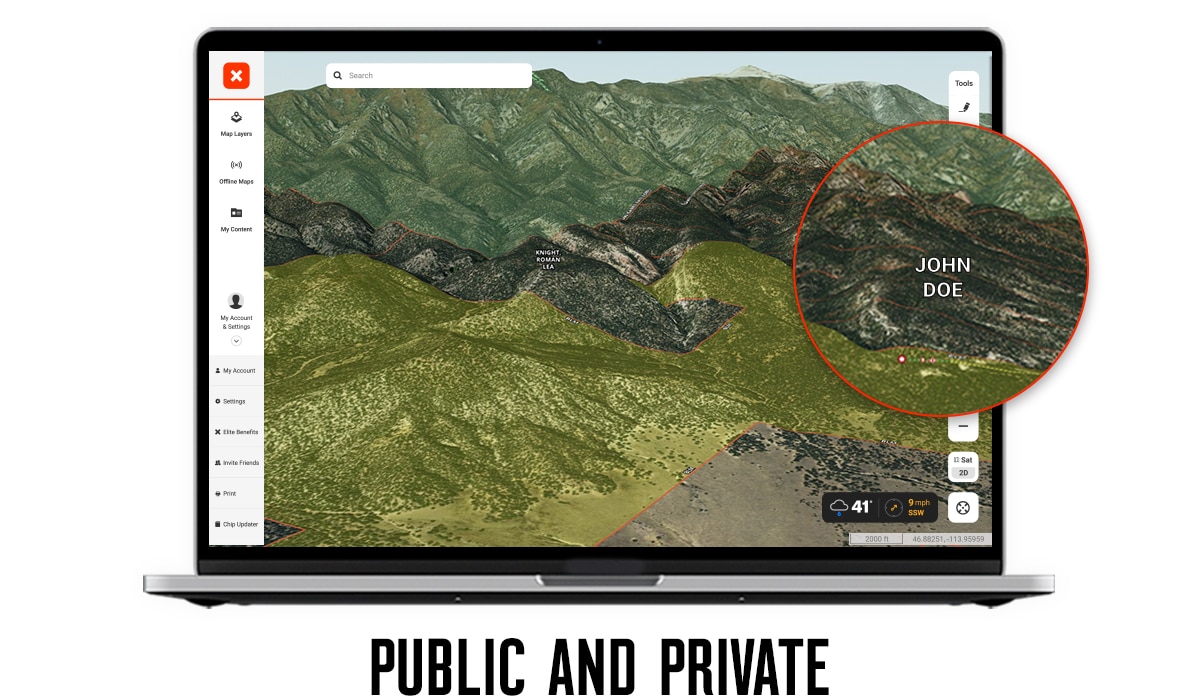
onX has been creating maps for your 3D experience for more than 10 years. We initially started with Google Earth overlays to show you public and private boundaries while in 3D Mode. It was always our goal to build a comparable replacement tool for Google Earth, giving you the opportunity to have all of your maps combined with a 3D experience in one place. With this release, you can now view all of your public and private layers in 3D, letting you easily see a 3D view of property boundaries. The ability to see how property boundaries are laid out on the landscape in 3D—in conjunction with potential travel patterns for animals—gives you a significant advantage on filling your next tag.
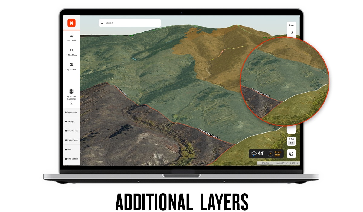
In addition to our public and private layers, you’ll also be able to view all of our other map layers in 3D as well. Easily customize your 3D map experience by turning on any combination of map layers that you need for your scouting purposes. Viewing the Roadless Areas Layer in 3D will give you knowledge of how those areas furthest away from roads both relate to the landscape and how to access them more readily. Using the Historic Wildfire Layer to find food sources in 3D will also give you insight into how these fires burned on the landscape and how to approach burned areas. Other popular layers worth exploring in 3D are the Timber Cuts, Wilderness Boundaries, Walk-InAccess Areas, and Hunting Units.
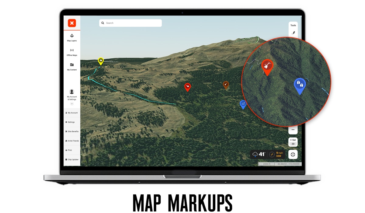
Did you find that perfect glassing knob or campsite while in 3D Mode? Now you can easily make a Waypoint for that spot without having to toggle back and forth between 2D and 3D. All the onX Markup types are now available to be created and viewed while using the 3D map. You can make custom Waypoints for exact locations using our icon library and custom colors, then use the Line Tool to draw the easiest routes that you have scouted while in 3D.
The new Radius tool is quickly becoming a customer favorite. You can now attach a radius to a Waypoint and view that in 3D mode. Use the Radius tool to map out how far you want to hike from your truck or backcountry campsite, or mark a bedding animal and add a radius around its location so you can quickly see when you’re in the “red zone” on a stalk. You can also determine distances from trailheads and other busy locations to stay away from pressured areas, to ensure you’re a certain distance away from structures or a water source, or to make a shooting radius from a glassing knob to see which hillsides are within shooting range from your current location. The tracks that you’ve created from your mobile device while on hunts can also be viewed to help you relive past hunts and inform you on planning your next trip.
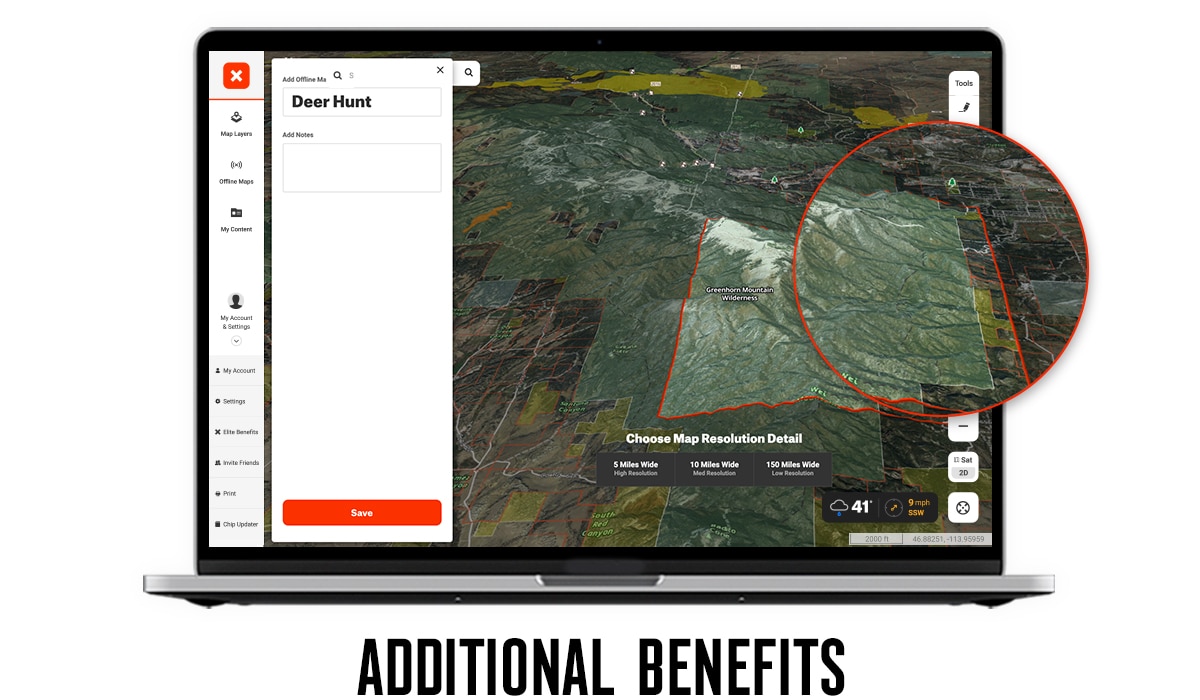
3D Mode is always at your fingertips. When in 2D, you can tilt your map at any time without having to toggle into 3D Mode. The 2D/3D toggle will either tilt the map automatically for you or return you to a straight-down and north-up view if you want to reorient yourself after being in 3D mode. You can also view all onX Basemaps in 3D, including Aerial, Hybrid (aerial imagery with topo lines), and Topo. You’re also able to view offline maps in 3D Mode, allowing you to see how the Offline Maps overlay in 3D.
onX is excited to launch the most comprehensive 3D scouting platform ever designed for hunters. Be sure to explore all of these new features for your next scouting session, and use 3D Mode to make the most of your upcoming hunting seasons. onX Hunt’s 3D capabilities are now available on iOS, Android, Mac, or PC.