
Shopping For A Deer Hunting App?
Experience up-to-date weather at your fingertips with the onX Hunt App, starting at $34.99 / yr.
Experience up-to-date weather at your fingertips with the onX Hunt App, starting at $34.99 / yr.
The onX Hunt App
Get an edge with the most intelligent and accurate GPS mapping tool for deer hunters. Maps for hunting, made by hunters. Combine public and private land boundaries with satellite imagery to gain a more complete picture of the landscape and how the deer might move.
Get The Most Accurate and Most Defined Land Ownership Data In The Country
The onX Hunt App lets you hunt with confidence by always knowing where you are with clearly marked land ownership maps showing private property boundaries. Our proprietary data collection, analysis and layering methods give you the most accurate and up-to-date maps available on all devices—all in one place.
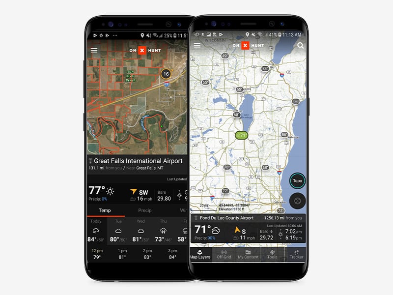
Weather Conditions, Wind Speed / Direction and Temperature Always At Your Fingertips
Enjoy live weather reports, wind direction, sunrise / sunset times and barometric pressure—all curated within the onX Hunt App to keep everything you need in one convenient place.

Create, Customize and Share Waypoints
Drop custom Waypoints to mark tree stands, blinds, meeting places and even where you parked the truck. Easily share Waypoint locations with other onX Hunt App users.
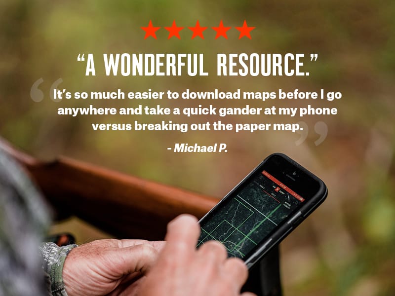
Loved by Hunters Nationwide
Best Hunting App on the Planet
There’s no better way to plan strategy for an upcoming hunt than by studying the area you’ll be hunting. onX Hunt gives you all the details you need to develop a strategy in the palm of your hand. The various layers that are featured in the App and the online version are fantastic and extremely accurate. Plus, the ability to store maps for offline use will save your data and make sure you have that map available when you’re off the grid.

On X Hunt
On X Hunt has changed the way I hunt. As with any feature-rich product, it takes a little effort to learn. Once you’re comfortable with the App, you will never leave home without it. I have used it extensively in Montana and Minnesota and when data is properly cached, you don’t need cell service. Works great!
Game Changer
This app has changed the way I hunt. Not only am I confident in knowing land ownership boundaries, but I’m much more confident exploring new territory and using the offline features of this app for orientation. The other day I tracked elk in fresh snow miles beyond what I would normally feel comfortable with because I knew where I was the whole time and how to get back to the truck thanks to the app. I consider this app an essential piece of my hunting tool kit, and I wouldn’t go into the field without it.
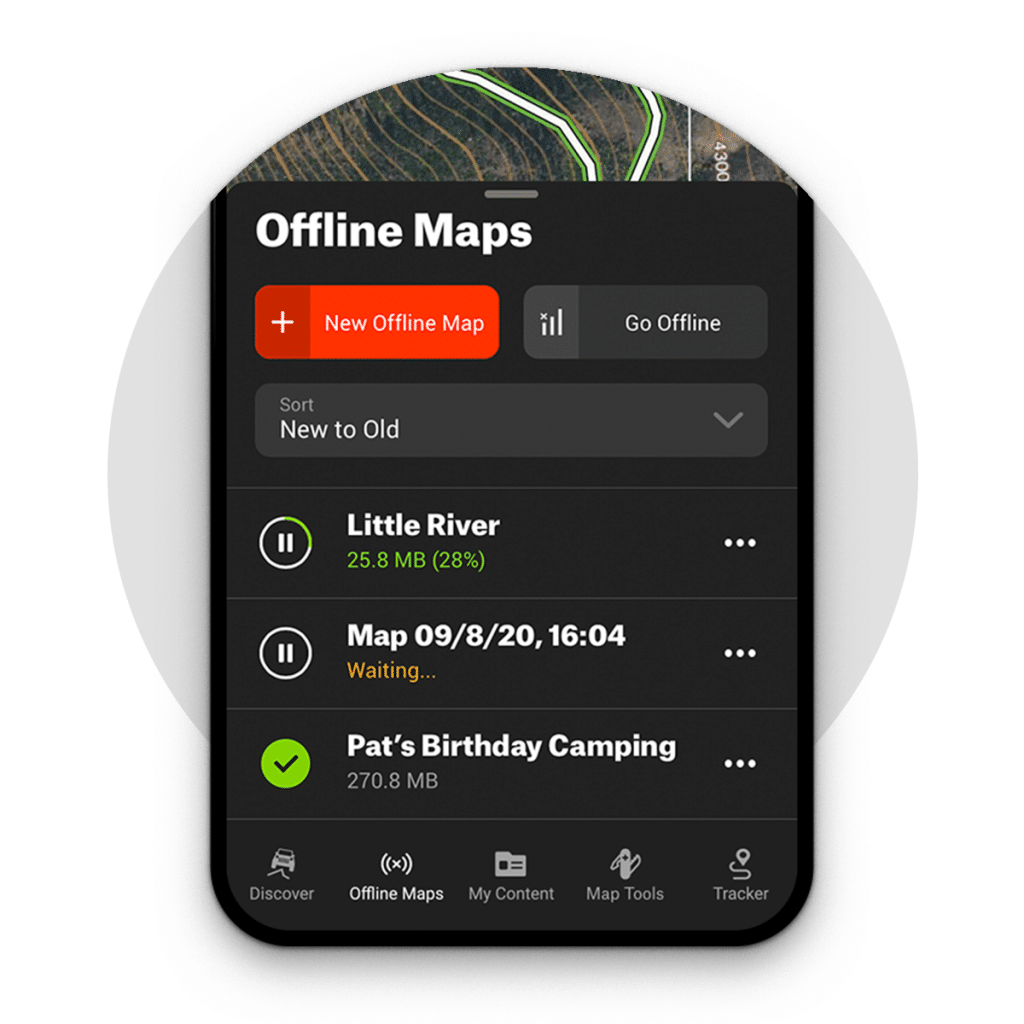
No Service? No Problem
The onX Offline Maps feature allows users to download a section of the map and save to the phone for use outside a cell network. Your phone’s GPS receiver works like a stand-alone GPS, allowing the App to show your real-time location even when outside the cell network.
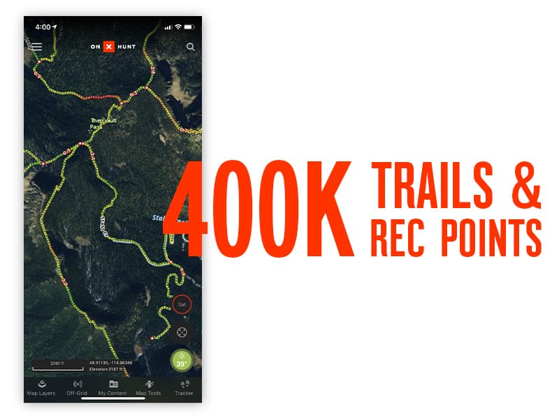
Crystal Clear Aerial Maps, 24K Topo & Hybrid View
Customize your map to show only the information you want. Take advantage of high-clarity aerial, 24k Topo and our most popular option: Hybrid view.
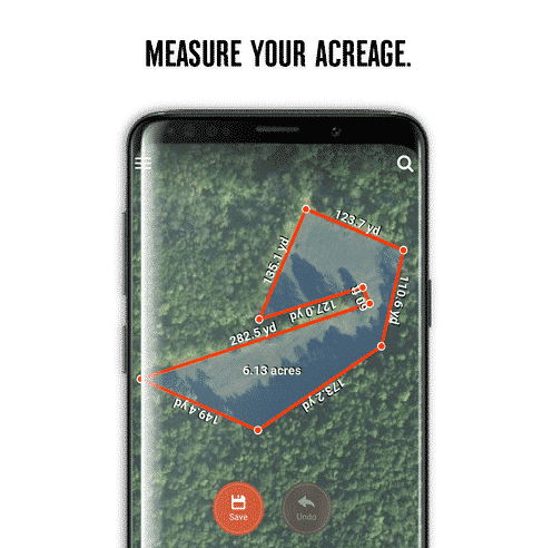
Measure Distances and Area Shapes With Map Tools
Integrated map tools allow you to mark your map with a line or shape while also measuring distance. Use the onX Shape Tool to easily plan your food plot, accurately define hunting zones or mark property lines.
SUCCESS FAVORS THE PREPARED
Make the most out of your days in the field