Near Hiking Club Route
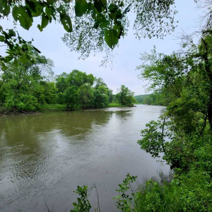
The Des Moines River from the trail.
Near Hiking Club Route
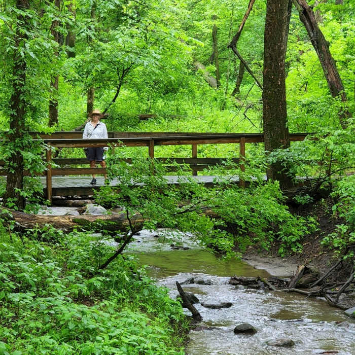
On the trail near the Des Moines River.
Near Hiking Club Route
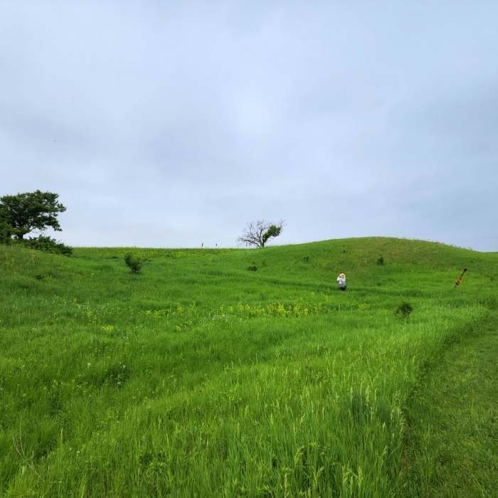
Crossing the prairie.

Looking for more photos?

View All Photos
View Map
Driving Directions
Hike Trail

Hiking Club Route

3.0 (1 Rating)
A pleasant trail across rolling hills and prairie in the Des Moines River Watershed
2.1
mi
Distance
231
ft
Gain
moderate
Difficulty
BirdingRiver/CreekViewsWildflowersWildlife
Access Issues
The park is open daily from 8AM to 10PM year-round. A vehicle permit ($7/day, $35/year) is required to enter and park in the park. The southern part of this loop is open to snowmobiles during the winter months.

Route Details

Flatter
Steeper
2.1mi
Distance
231ft
Elevation Gain
231ft
Elevation Loss
20%
Max Grade
1,450ft
High Point
1,321ft
Low Point
Path Type
Loop
Description
This is the Hiking Club route in this park. From the parking lot east of the entrance station, go northeast and then south along the Des Moines River. You'll pass junctions with the Canoe and Meadow Trails that provide access to the river. At 0.8 miles from the parking lot, you'll reach an overlook with views to the south out over the river. Continuing on, you'll pass through large area of natural prairie and then the park's campground, before arriving pack at the trailhead.

Route Conditions

Report Conditions
No Condition Reports
Report Conditions

Nearby Hike Routes

Hiking Club Route

Hike Route

Hiking Club Route

Birding
moderate
6.66 mi
+281 ft
Hiking Club Trail

Hike Route

Hiking Club Trail

Dogs Allowed
easy
2.64 mi
+0 ft
Seven Mile Creek Hike

Hike Route

Seven Mile Creek Hike

Birding
moderate
5.39 mi
+609 ft
Traverse des Sioux Trails

Hike Route

Traverse des Sioux Trails

Fall Colors
moderate
9.77 mi
+0 ft
Big Sioux Recreation Area

Hike Route

Big Sioux Recreation Area

Birding
easy
2.41 mi
+157 ft
Sakatah Lake State Park Loop

Hike Route

Sakatah Lake State Park Loop

Fall Colors
easy
5.46 mi
+391 ft
Contributors
BK Hope
