Near Jims Grove Trail
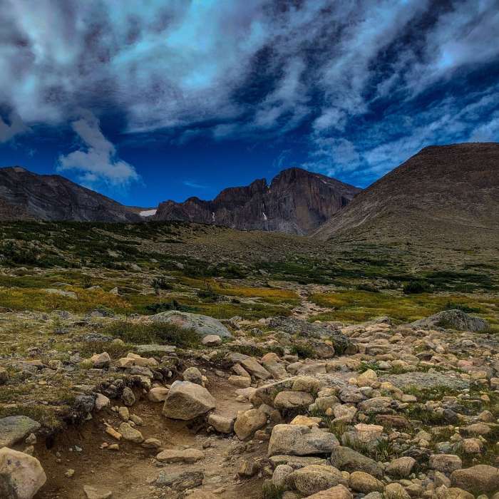
Chasm Lake Trail- view of Long's Peak in the distance at sunrise, just above tree line
Near Jims Grove Trail
Approximately the halfway mark to Chasm Lake, above alpine now and the first clear view of Longs Peak (Mount Lady Washington, right).
Near Jims Grove Trail
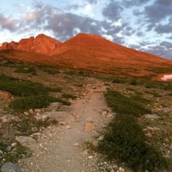
Sunrise on Longs Peak's Diamond.

Looking for more photos?

View All Photos
View Map
Driving Directions
Hike Trail

Jims Grove Trail

3.0 (4 Ratings)
This unmaintained "shortcut" bypasses Chasm Junction and is only recommended for descending.
1.2
mi
Distance
ft
Gain
strenuous
Difficulty
Less CrowdedViews

Route Details

Flatter
Steeper
1.21mi
Distance
0ft
Elevation Gain
1,011ft
Elevation Loss
40%
Max Grade
11,974ft
High Point
10,959ft
Low Point
Path Type
Point to Point
Description
The start of this trail is not signed and is usually only used by very fit park rangers needing to travel back and forth from the Boulder Field in a hurry. It can be useful as a quick and dirty way to descend from Longs Peak in the most direct fashion. The start of Jims Grove Trail is tricky to find. Descending from Granite Pass, the Long's Peak Trail turns back to the south and a series of large stone steps begin to curve and lose elevation. Look for two large curved mounds of pinkish rock that look a bit like surfacing whales. Near these rocks, pick up Jims Grove Trail as it heads directly east and steeply downhill. Jims Grove Trail drops quickly utilizing stone and log steps. Pass by the faint remains of the Longs Peak shelter cabin and then one short switchback brings you to the edge of Jims Grove. This is the highest stand of pines on the slope and it is easy to pick out from a distance. Wind through the trees, cross Alpine Brook and arrive at the signed junction with the main Longs Peak Trail.

Route Conditions

Report Conditions
No Condition Reports
Report Conditions

Nearby Hike Routes

Longs Peak Valley Loop

Hike Route

Longs Peak Valley Loop

Fall Colors
strenuous
22.63 mi
+4,781 ft
Longs Peak - Keyhole Route

Hike Route

Longs Peak - Keyhole Route

Lake
strenuous
13.57 mi
+5,296 ft
Eugenia Mine Hike

Hike Route

Eugenia Mine Hike

easy
1.38 mi
+509 ft
Chasm Lake

Hike Route

Chasm Lake

Birding
strenuous
8.26 mi
+2,555 ft
Sky Pond

Hike Route

Sky Pond

Birding
strenuous
8.64 mi
+1,848 ft
The Loch Hike

Hike Route

The Loch Hike

Lake
moderate
5.73 mi
+1,082 ft
Contributors
Megan W
