Near Blue Trail
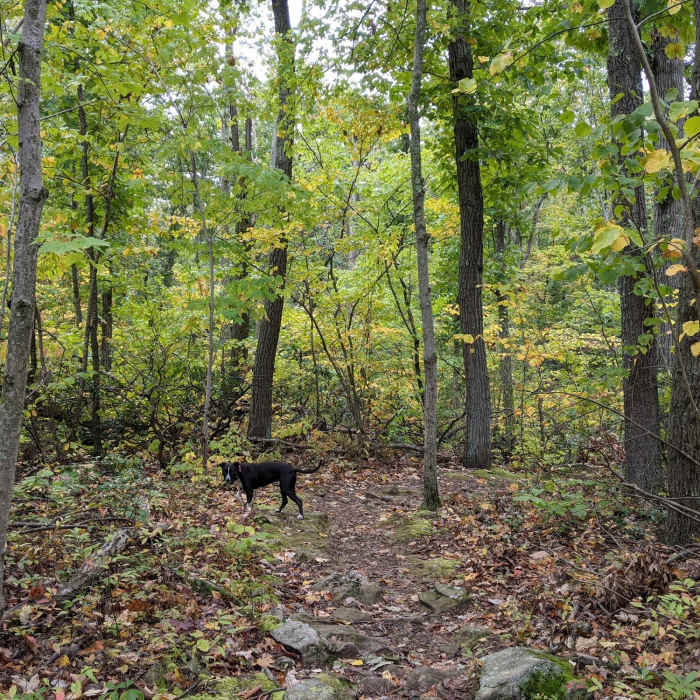
The east end of the Yellow Trail in early fall.
Near Blue Trail
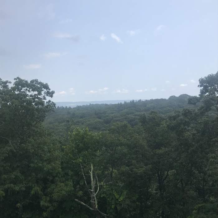
View from the Tower

Looking for more photos?

View All Photos
Driving Directions
Hike Trail

Blue Trail

4.6 (5 Ratings)
The Blue Trail (Quinnipiac Trail) is one of Sleeping Giant State Park's most challenging and rewarding trails.
4.9
mi
Distance
1,391
ft
Gain
strenuous
Difficulty
Fall ColorsViewsWildflowers
Access Issues
Damage from the 2018 tornado has been cleared and the park has reopened.

Route Details

Flatter
Steeper
4.92mi
Distance
1,391ft
Elevation Gain
1,427ft
Elevation Loss
65%
Max Grade
734ft
High Point
79ft
Low Point
Path Type
Point to Point
Description
The Blue Trail (also known as the Quinnipiac Trail) is not quite as challenging as the Violet Trail, but is a good starter if you're accustomed to the Tower Trail. If you continue beyond the park boundary, this trail becomes the Quinnipiac Trail. They charge for parking in the lot across from Quinnipiac Memorial Day through October, but if you drive to the opposite end of the park, there's a smaller lot where many of the trails terminate and they don't charge for parking.

Route Conditions

Report Conditions
Anonymous Adventurer
All Clear
Anonymous Adventurer
All Clear
Anonymous Adventurer
All Clear
Anonymous Adventurer
Some Issues
Looking for more condition reports?
View History

Nearby Hike Routes

Lake Wintergreen Loop

Hike Route

Lake Wintergreen Loop

Fishing
moderate
1.59 mi
+60 ft
West Rock Ridge Loop

Hike Route

West Rock Ridge Loop

Cave
strenuous
7.69 mi
+956 ft
Castle Craig

Hike Route

Castle Craig

Fall Colors
moderate
2.99 mi
+580 ft
Northwoods Loop

Hike Route

Northwoods Loop

Geologically Significant
strenuous
10.32 mi
+1,612 ft
Zoar Trail

Hike Route

Zoar Trail

Fall Colors
moderate
6.34 mi
+1,216 ft
Ragged Mountain Blue and Red Blazed Loop

Hike Route

Ragged Mountain Blue and Red Blazed Loop

Fall Colors
strenuous
5.59 mi
+916 ft
Contributors
Nate Laughton
