
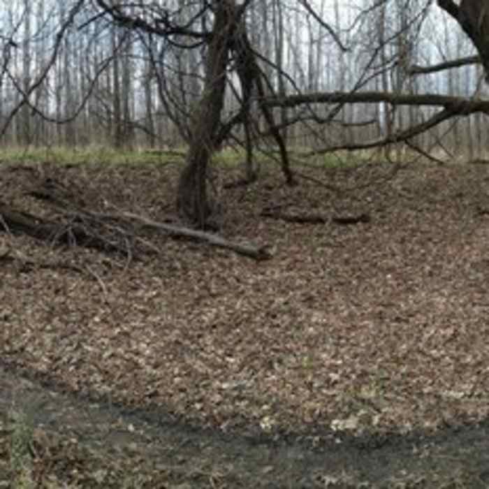

Near Trail D
Shortly after the trail was built, a large tree fell across it. We had to move the trail slightly but this photo still gives a great idea of what the terrain is like on this section of trail.
Near Trail D
Trail D West Side weaves up and down the small ridge line.
Near Trail D
Optional advanced line on the left and the easier main line on the right.

Looking for more photos?

View All Photos
View Map
Driving Directions
Hike Trail

Trail D

3.0 (1 Rating)
A ridgeline trail that runs along an old farm field and the edge of the Minnesota River.
2.4
mi
Distance
2
ft
Gain
moderate
Difficulty
Fall ColorsRiver/CreekWildlife

Route Details

Flatter
Steeper
2.37mi
Distance
2ft
Elevation Gain
0ft
Elevation Loss
10%
Max Grade
750ft
High Point
742ft
Low Point
Path Type
Point to Point
Description
This trail starts out on a small ridgeline between what used to be an old farm field and the backwaters of the Minnesota River. It is then nice and smooth along the bank of the Minnesota River. This trail is part of the Traverse des Sioux Trails system.

Route Conditions

Report Conditions
No Condition Reports
Report Conditions

Nearby Hike Routes

Traverse des Sioux Trails

Hike Route

Traverse des Sioux Trails

Fall Colors
moderate
9.77 mi
+0 ft
Seven Mile Creek Hike

Hike Route

Seven Mile Creek Hike

Birding
moderate
5.39 mi
+609 ft
Hiking Club Trail

Hike Route

Hiking Club Trail

Dogs Allowed
easy
2.64 mi
+0 ft
Sakatah Lake State Park Loop

Hike Route

Sakatah Lake State Park Loop

Fall Colors
easy
5.46 mi
+391 ft
Minnesota Valley State Recreation Area Hiking Club Trail

Hike Route

Minnesota Valley State Recreation Area Hiking Club Trail

Dogs Allowed
easy
3.25 mi
+45 ft
Louisville Swamp Loop

Hike Route

Louisville Swamp Loop

Birding
moderate
6.99 mi
+113 ft
Contributors
Dan Oachs
