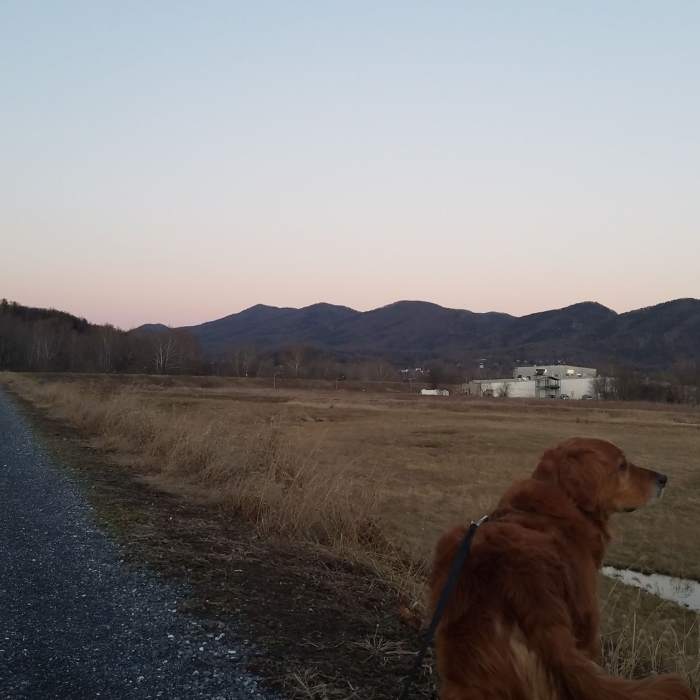
Near Maury River Walk
The southern end of the Maury River Walk. Beautiful Views all along the path.

Looking for more photos?

View All Photos
Driving Directions
Hike Trail

Maury River Walk

5.0 (1 Rating)
A popular hike along the Maury River. Great in all seasons.
2.3
mi
Distance
1
ft
Gain
easy
Difficulty
BirdingDogs AllowedFall ColorsRiver/CreekSwimmingViewsWildlife

Route Details

Flatter
Steeper
2.33mi
Distance
1ft
Elevation Gain
16ft
Elevation Loss
5%
Max Grade
840ft
High Point
808ft
Low Point
Path Type
Point to Point
Description
This trail is the most heavily used path in Buena Vista. It's wide, closed to all but maintenance vehicles, and very level. Many residents hike it daily or bring their dogs to hike along the river. There is parking where the path crosses 10th Street and where the path meets 21st St. Also, many people use the trail to access the river for trout fishing.

Route Conditions

Report Conditions
No Condition Reports
Report Conditions

Nearby Hike Routes

Punchbowl Mountain to James River

Hike Route

Punchbowl Mountain to James River

River/Creek
strenuous
21.6 mi
+5,652 ft
Cole (Cold) Mountain Loop

Hike Route

Cole (Cold) Mountain Loop

Birding
moderate
5.93 mi
+1,390 ft
Rocky Row

Hike Route

Rocky Row

Birding
strenuous
7.24 mi
+2,007 ft
Devils Marbleyard Out and Back

Hike Route

Devils Marbleyard Out and Back

Family Friendly
strenuous
2.64 mi
+730 ft
Terrapin Mountain Loop_hike

Hike Route

Terrapin Mountain Loop_hike

Fall Colors
extreme
9.38 mi
+2,634 ft
Jump Rock Loop

Hike Route

Jump Rock Loop

Birding
strenuous
7.8 mi
+2,560 ft
Contributors
Benjamin Frey
