Near Burntrock Ridge Trail #65A
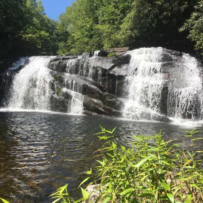
Middle Falls on Snowbird Creek
Near Burntrock Ridge Trail #65A
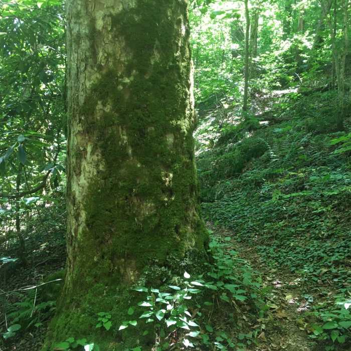
Large Beech tree covered in Moss alongside Burntrock Ridge Trail.
Near Burntrock Ridge Trail #65A
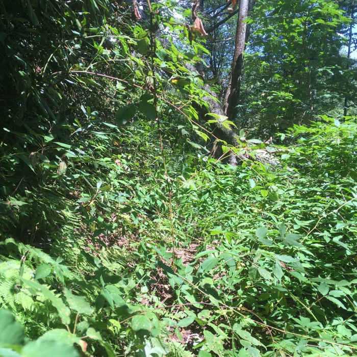
Example of overgrown trail in June 2017. Not as bad as it looks since the overgrown sections are no more than 50 feet.

Looking for more photos?

View All Photos
View Map
Driving Directions
Hike Trail

Burntrock Ridge Trail #65A

4.0 (2 Ratings)
This interior trail connects Sassafras Creek Trail near Sassafras Falls to Snowbird Creek Trail near Middle Falls.
1.7
mi
Distance
561
ft
Gain
moderate
Difficulty
Commonly BackpackedFamily FriendlyRiver/CreekWaterfall

Route Details

Flatter
Steeper
1.73mi
Distance
561ft
Elevation Gain
479ft
Elevation Loss
25%
Max Grade
4,006ft
High Point
3,472ft
Low Point
Path Type
Point to Point
Description
From Sassafras Creek Trail near Sassafras Falls to Snowbird Creek Trail, this trail starts at a campsite alongside Sassafras Creek located about a tenth of a mile above Sassafras Falls. Find the trail junction sign at the campsite and turn right onto Burntrock Ridge Trail and proceed on a moderately steep climb toward a gap. The trail does not continue over the gap, rather it turns to the left and continues on a moderately steep ascent up the ridge. The trail reaches its highest point and continues level along the ridge. Eventually the trail descends a little while continuing along the ridgetop toward the west. The trail bears to the right of the ridge and begins a descent where one is more likely to encounter short sections of overgrown trail. These include patches of briars. At no time is it hard to follow the trail. The trail descends further with water seeps and turns right at Little Flat Branch where it follows the right bank. Trail crosses Little Flat Branch and continues down the left bank to the junction with Big Snowbird Trail (64) at Big Snowbird Creek. Complete trail guides for Burntrock Ridge Trail and other area Snowbird Wilderness trails can be found at http://uphillhikes.com/category/southeast/snowbird-wilderness/

Route Conditions

Report Conditions
No Condition Reports
Report Conditions

Nearby Hike Routes

Huckleberry Knob

Hike Route

Huckleberry Knob

Less Crowded
easy
1.77 mi
+319 ft
Slickrock and Citico Wilderness Loop

Hike Route

Slickrock and Citico Wilderness Loop

Birding
strenuous
22.37 mi
+5,627 ft
Joyce Kilmer-Slickrock Wilderness Loop

Hike Route

Joyce Kilmer-Slickrock Wilderness Loop

Less Crowded
extreme
13.97 mi
+4,091 ft
Joyce Kilmer Memorial Forest Loop

Hike Route

Joyce Kilmer Memorial Forest Loop

River/Creek
moderate
1.72 mi
+469 ft
Joyce Kilmer Memorial Forest Loop Trail

Hike Route

Joyce Kilmer Memorial Forest Loop Trail

Views
easy
1.91 mi
+443 ft
Yellow Creek Falls

Hike Route

Yellow Creek Falls

Waterfall
moderate
0.67 mi
+222 ft
Contributors
Uphill Hike
