Ready to explore this trail?
View Trail Map in AppPath Type
Point to Point
The Dave Roberts Quarry Trail is a low traffic trail through the Belknap Range. Named after Dave Roberts who created the first comprehensive trail map of the Belknap Range this trail gives you the opportunity to conquer multiple peaks in the Belknap Range.
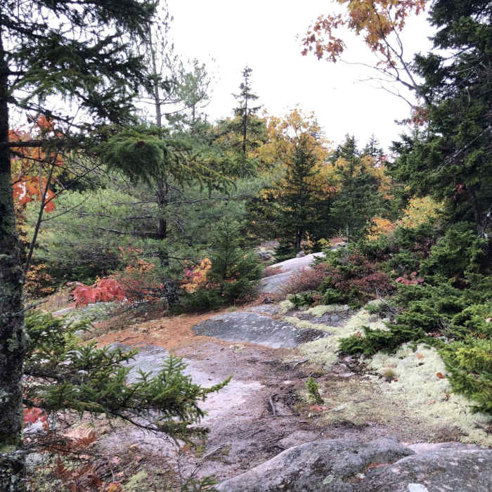
This trail is marked by white blazes and cairns and is generally easy to follow. It's a winding and undulating trail that moves in and out of tree cover. Fortunately the trail surface for the majority of this trail tends to be soft and complaint made up of pine needles and the like.
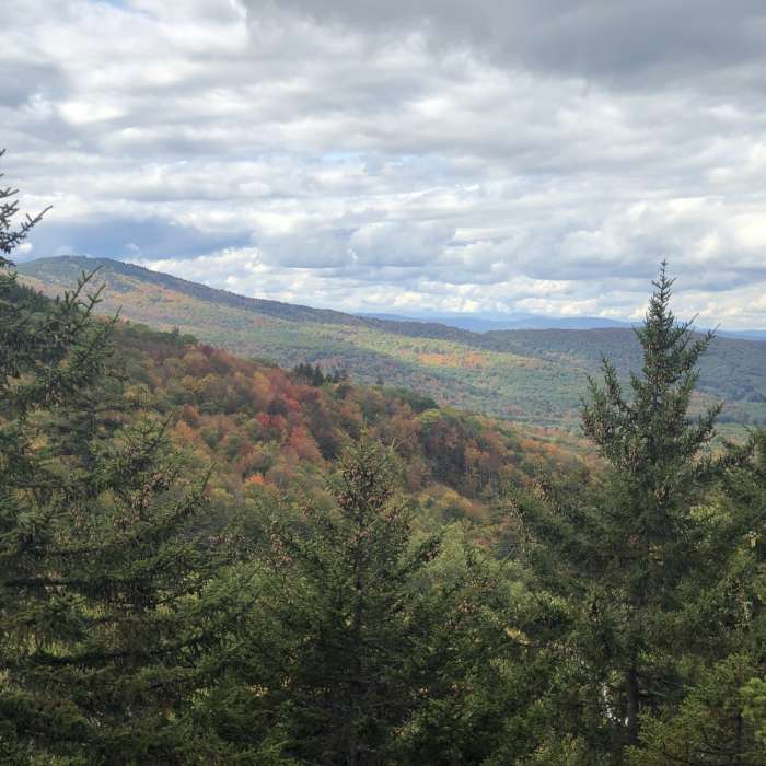
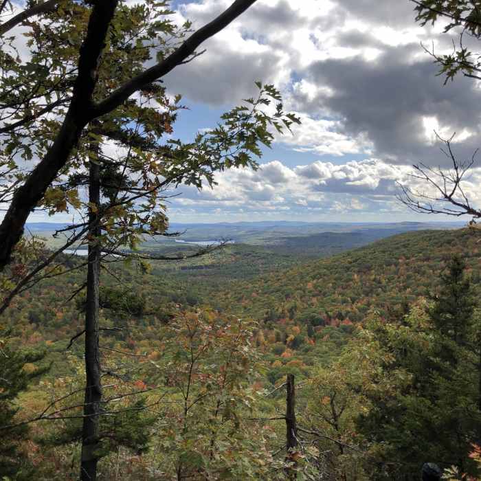
Beginning from the Belknap Range Trail a bit off the South Peak of Straightback Mountain. This trail travels first to the North Peak of Straightback and then East and West Quarry Mountains. During that distance you'll have a handful of viewpoints that may not necessarily be at the specific peak. Just past West Quarry Mountain you may be able to see the old quarry site from the 1800s.
Continuing on you'll reach Rand Mountain, there's no view from the summit here but continue onward just a bit for a a great lookout point. It seems the most challenging part of this trail is either the trail down the western side of Rand Mountain or the trail down the western side of West Quarry.
Finally this trail wraps up climbing up Mount Klem, you can either end at the clearly marked intersection with the Red Trail or continue on the extra 0.1 mile or so to the Mount Klem summit, which is also viewless.
No Condition Reports
Mount Major Loop
Mount Major Loop
Pine Mountain Loop
Pine Mountain Loop
Belknap Mountain via East Gilford Trail
Belknap Mountain via East Gilford Trail
Belknap Range Trail
Belknap Range Trail
Devil's Den Mountain
Devil's Den Mountain
Contributors

