Near The Stem
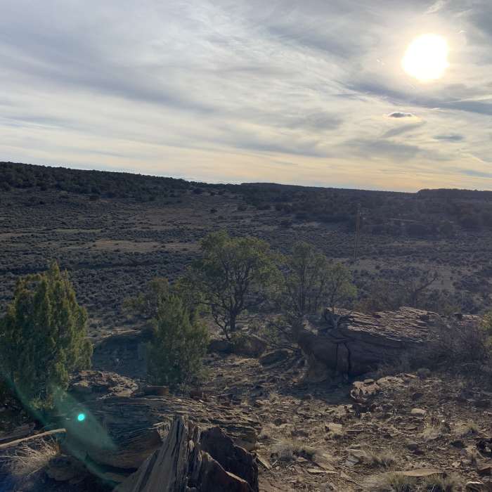
Evening vista from the far end of the loop (early March 2019)
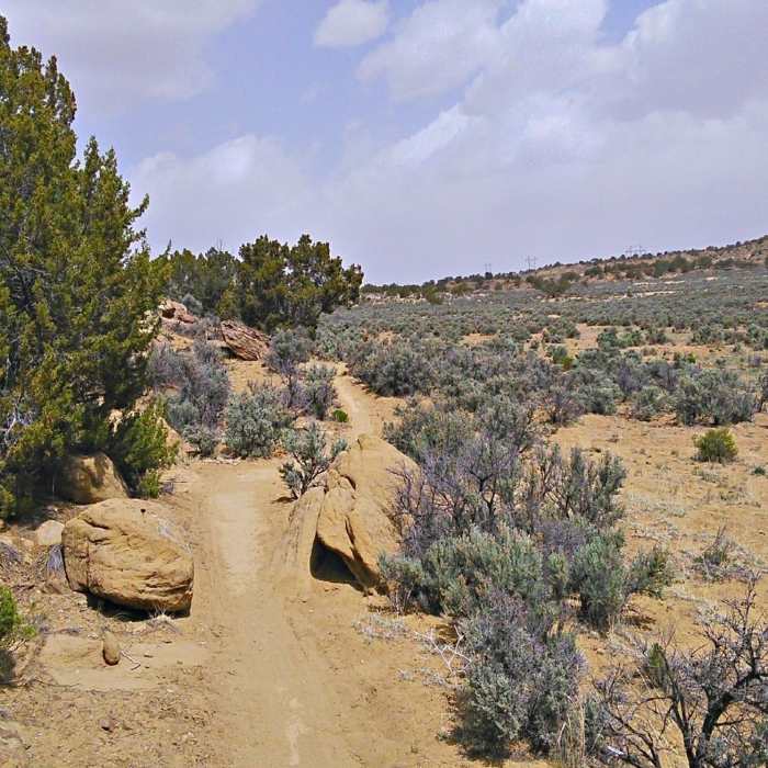
Near The Stem
Rocks add scenery along this broad arroyo, but alas there are no technical features.

Looking for more photos?

View All Photos
View Map
Driving Directions
Hike Trail

The Stem

3.5 (2 Ratings)
Access from the Gamerco trailhead of the High Desert Trail System.
2.7
mi
Distance
177
ft
Gain
moderate
Difficulty
Access Issues
This is generally considered to be primarily a biking area. Please stay alert while on the trails and be respectful of other users.

Route Details

Flatter
Steeper
2.72mi
Distance
177ft
Elevation Gain
135ft
Elevation Loss
10%
Max Grade
6,691ft
High Point
6,585ft
Low Point
Path Type
Point to Point
Description
This trail known simply as the "Stem" provides access from the east parking area to the "6 Flags" intersection. From here you can go directly to High Desert Trail System First Mesa or take High Desert Trail System Connector to High Desert Trail System, 3rd and 2nd Mesa Loop. Climbs gradually through high desert terrain and vegetation, crossing a broad arroyo along the way.

Route Conditions

Report Conditions
No Condition Reports
Report Conditions

Nearby Hike Routes

Pyramid Rock

Hike Route

Pyramid Rock

Birding
strenuous
3.42 mi
+829 ft
Church Rock Trail

Hike Route

Church Rock Trail

Less Crowded
easy
2.01 mi
+297 ft
Bisti Badlands Sunrise Loop

Hike Route

Bisti Badlands Sunrise Loop

Family Friendly
moderate
4.75 mi
+54 ft
Bisti Badlands' Winged Hoodoos

Hike Route

Bisti Badlands' Winged Hoodoos

Family Friendly
moderate
4.15 mi
+132 ft
Bisti/De-na-zin Badlands

Hike Route

Bisti/De-na-zin Badlands

Views
easy
5.87 mi
+72 ft
White House Trail

Hike Route

White House Trail

River/Creek
moderate
2.31 mi
+632 ft
Contributors
John Geronimo
