Ready to explore this trail?
View Trail Map in AppPath Type
Point to Point
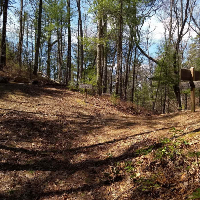
Starting from the 3-way trail junction, the Beard Cane Trail works its way north through a narrow pass between Hatcher Mountain and Wedge Ridge then descends steadily on a hard-packed track to cross Beard Cane Creek.
At the stream crossing, the trail picks up the railroad trace, following it until crossing Hesse Creek. In some places the gently graded track is rocky and uneven, while in others it can be loamy. After a mile, the trail approaches Beard Cane Backcountry Campsite (#11).
For the next few miles, there are no real changes in either the trail conditions or the surrounding forest environment. The exception occurs in springtime when this wet, protected environment explodes with wildflowers.
Before reaching its crossing of Hesse Creek, the trail turns away from Beard Cane Creek and enters a wide flat occupied by the Hesse Creek Backcountry Campsite (#3). Immediately beyond the Hesse Creek Camp, the trail crosses Hesse Creek and begins a steep 400-foot climb up the face of Hurricane Mountain to terminate in Blair Gap.
At Blair Gap, the Beard Cane Trail reaches the park boundary and enters an intersection with the Ace Gap Trail.
This content was contributed by author Ken Wise. For a comprehensive hiking guide to the Great Smoky Mountains and to see more by Ken, click here.
No Condition Reports
Contributors

