Ready to explore this trail?
View Trail Map in AppPath Type
Point to Point
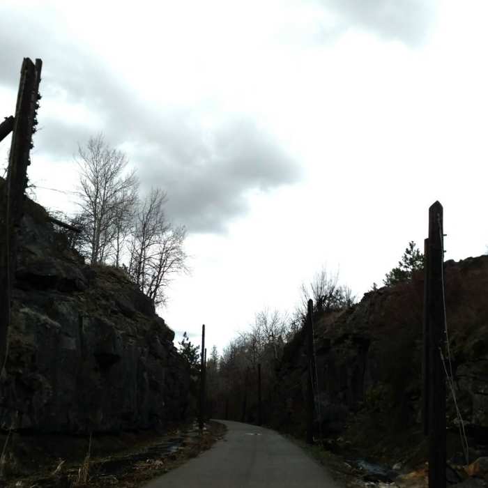
Starting at the Columbia River Plateau Trail (Paved) trailhead on S Cheney-Spangle Road, climb through the gate and start down the gravel road. Continue along the left side of the first lake, bearing left after the first lake (a right turn can shorten the hike or lengthen it by making this loop a figure eight).
Continue on around the hill, and keep left to go around the wetland. (A spur trail on the right takes you to a nice overlook for birdwatching or spotting moose.) The trail then winds up and over a few hills before coming back around to meet the cutoff trail mentioned above, often a good place to see otters.
Bearing left, continue up over a hill. When you get to the signpost with an 8 on it, bear right (going left will take you back to the road.) Continue along back to the spur on the left that leads back to the parking lot.
No Condition Reports
Riverside State Park: Military Cemetery to Equestrian Center Loop
Riverside State Park: Military Cemetery to Equestrian Center Loop
Contributors

