Ready to explore this trail?
View Trail Map in AppPath Type
Point to Point
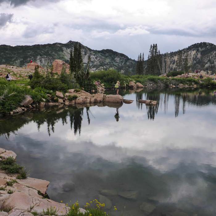
Starting at the edge of Cecret Lake, and following the shore of the lake into the trees, the trail starts out climbing onto the small ridge overlooking the lake. Once into the trees, you'll pass a small cairn made of three stones on your right. Once the trail leaves the trees, it immediately starts to climb, crisscrossing the mountain up to the saddle. Be sure to take short stops to catch your breath as you ascend, both to ease the climb and take in the beautiful views!
Once you get on top of the saddle, which is a lot wider at this point than you would expect, keep following the trail, where you'll pass a rock fort that someone has constructed. As you follow the ridgeline toward Devil's Castle, it will narrow, and you'll find the trail, as well as the easier path along the ridge, to be just below the ridgeline on the right-hand side facing Devil's Castle.
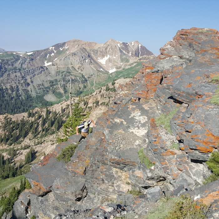
About halfway toward the peak, the ridge will get a little more technical, requiring some scrambling. As you approach the final part of the ridge to the peak, you'll want to remain on the right side of the ridgeline, as the northern cliff face is popular with rock climbers ascending to the ridge. You'll see a sign reminding you of this as well.
Once you get close, you'll be able to see why they called this Devil's Castle. Find a way up using the crevices running up the rock; there are plenty of hand and footholds, and multiple ways to the top. Once on the top of Devil's Castle, there are many nice places to sit and take in the beautiful view of the surrounding countryside.
All Clear
Looking for more condition reports?
Contributors

