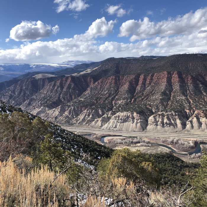

Near Red Hill Mountain Road
Top of Red Hill, looking at I-70
Near Red Hill Mountain Road
Namesake color, red on the road.

Looking for more photos?

View All Photos
Driving Directions
Hike Trail

Red Hill Mountain Road

4.0 (1 Rating)
Climb to the top and see Gypsum one way and I-70 the other.
2.3
mi
Distance
1,068
ft
Gain
strenuous
Difficulty
Views
Access Issues
Top of Sky Legend subdivision.

Route Details

Flatter
Steeper
2.3mi
Distance
1,068ft
Elevation Gain
30ft
Elevation Loss
20%
Max Grade
7,665ft
High Point
6,627ft
Low Point
Path Type
Point to Point
Description
Great trail that combines parts of singletrack and jeep trail. Starting at the top of the Sky Legend subdivision, you travel through lots of sagebrush throughout. Surfaces combine lots of rocks and some moon dust. A constant grind uphill with some steep grades.

Route Conditions

Report Conditions
No Condition Reports
Report Conditions

Nearby Hike Routes

Abrams Gulch Loop

Hike Route

Abrams Gulch Loop

River/Creek
strenuous
8.16 mi
+1,415 ft
Hanging Lake

Hike Route

Hanging Lake

Lake
moderate
2.96 mi
+1,146 ft
West Brush Creek Trail Hike

Hike Route

West Brush Creek Trail Hike

Lake
moderate
10.67 mi
+1,047 ft
Grizzly Creek Trail

Hike Route

Grizzly Creek Trail

Less Crowded
strenuous
7.15 mi
+1,878 ft
Sylvan Lake Loop Trail

Hike Route

Sylvan Lake Loop Trail

Lake
easy
1.46 mi
+58 ft
Bellyache Lollipop

Hike Route

Bellyache Lollipop

Fall Colors
moderate
6.45 mi
+1,557 ft
Contributors
Greg Doan
