Ready to explore this trail?
View Trail Map in AppRoute maybe impassable after heavy rains. The visible trail leading east of the cafe is posted as "Closed to all traffic".
Path Type
Point to Point
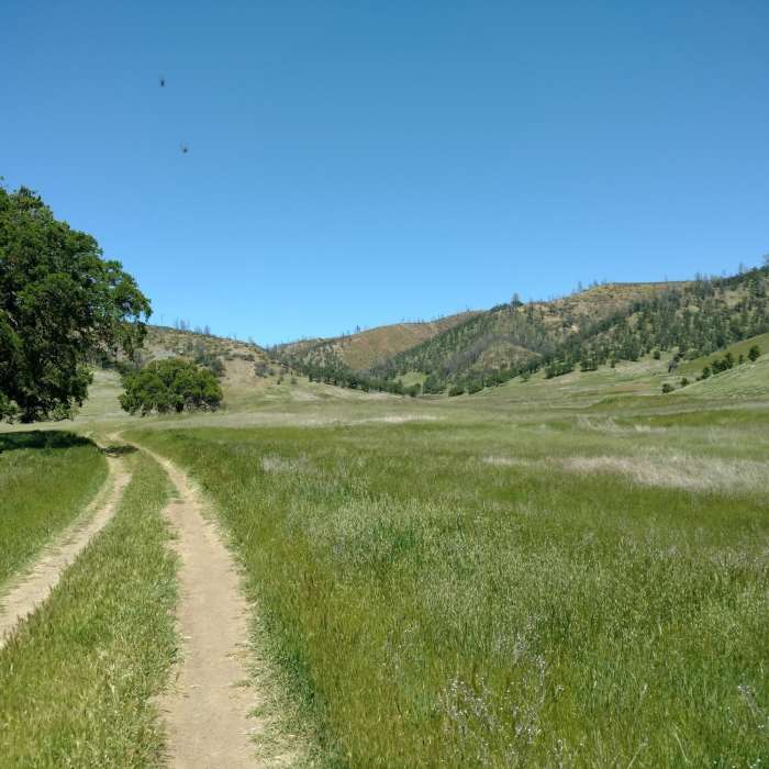
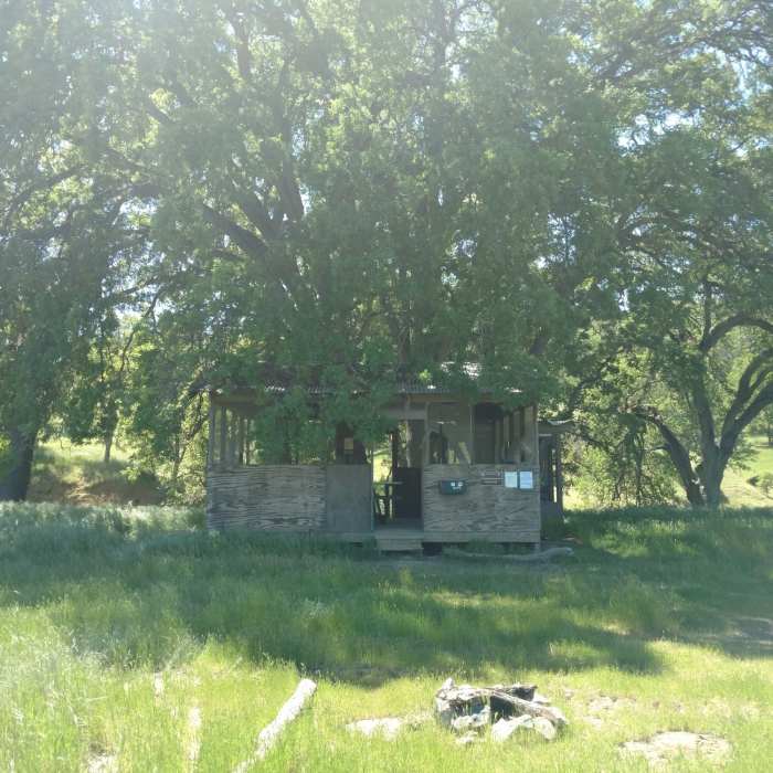
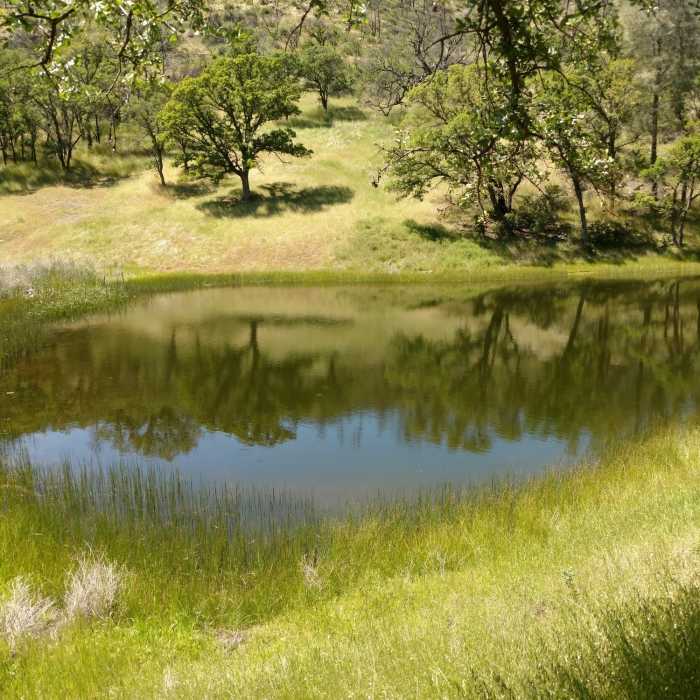
Lynch Canyon starts out by going south from the parking area. It then descends all the way to the valley and the 'Roadkill Cafe.' The Roadkill Cafe is an old hunting shack that featured a humorous 'menu' of roadkill treats. The Lynch Canyon valley is a broad interior valley that features some great wildflower displays in the spring. From there, you can make your way up to Cache Creek Ridge or south to a series of ponds. This takes you to the heart of the area so the choice is yours.
The trail leading south of the Roadkilll Cafe requires you to cross a small stream that be impassable after heavy periods of rain. A small trail leading east from the cafe is posted as "Closed to all traffic"
The devastating 2015 Rocky Fire burned large areas of the surrounding ridges and canyons. Please be respectful of natural healing and regrowth of the area and stick to the trail.
No Condition Reports
Cache Creek Ford
Cache Creek Ford
Craig Canyon-Thompson Canyon Loop
Craig Canyon-Thompson Canyon Loop
Zim Zim Falls
Zim Zim Falls
Wright Peak Summit Trail
Wright Peak Summit Trail
Mount Saint Helena
Mount Saint Helena
Table Rock
Table Rock
Contributors

