Ready to explore this trail?
View Trail Map in AppPath Type
Point to Point
The GDT (Great Divide Trail) is a long distance hike along the Continental Divide in Canada. This is Section E, one of the middle sections of it.
Section E runs from Saskatchewan Crossing where the Saskatchewan River crosses Icefields Parkway (Hwy 93), to the town of Jasper, Alberta in Jasper National Park.
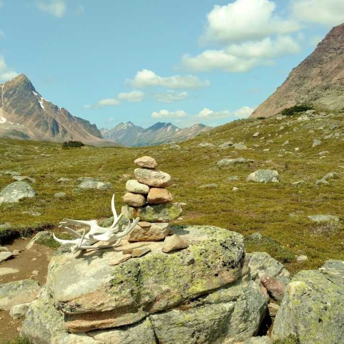
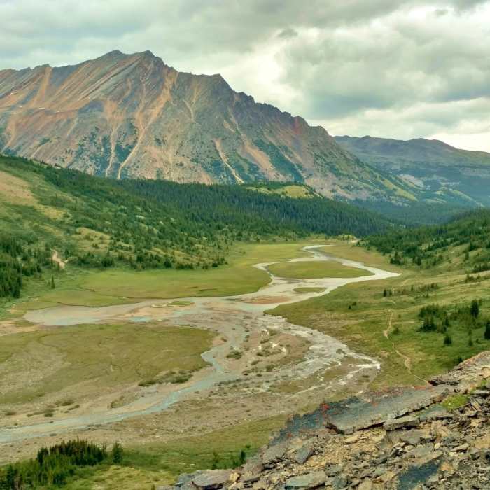
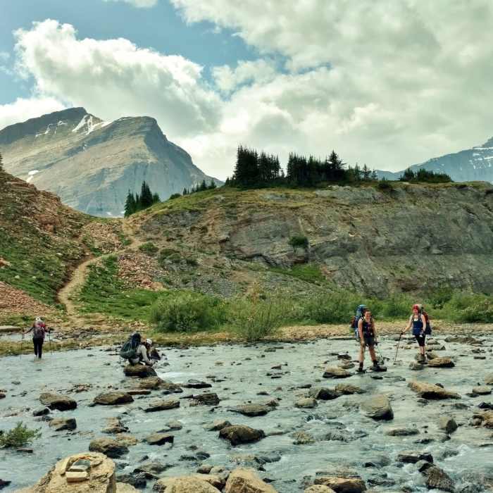
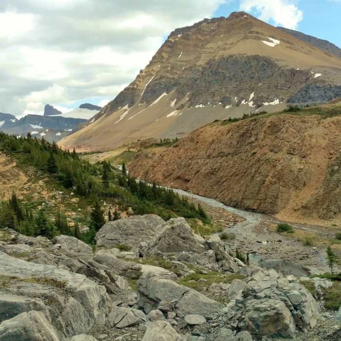
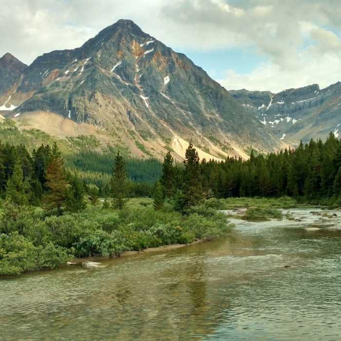
On top of the world here in Section E, one crosses several open and rocky high passes with glorious, expansive views of the surrounding snowy, rugged mountains. The highest point of the GDT is in this Section. Although a good bit of Section E is "off the beaten path", a good bit of it is also on well maintained, popular (but not overcrowded due to the reservation system :>) Jasper National Park trails with their wonderful, maintained trail camps complete with shared picnic tables, fire pits, bear hangs, and green thrones.
Please see the resources listed above under Need to Know for up to date detailed descriptions and valuable hiker information.
Alternate Routes
- Great Divide Trail - Six Passes Alternate Route
- Evelyn Creek/Skyline Trail
- Great Divide Trail - Wabasso Lake Alternate Route
- Great Divide Trail - Jasper Bighorn Alley Alternate Route
Access Trailheads (motor vehicle accessible)
- Saskatchewan Crossing on Icefields Parkway (Hwy 93) on the north side of the river (start of Section E)
- Owen Creek Trail trailhead on David Thompson Highway (Hwy 11) (close to start of Section E)
- Maligne Lake Road end, at the Skyline Trail south trailhead
- Signal Mountain Fire Road/Maligne Lake Road junction, at the Skyline Trail north trailhead (very close to end of Section E)
- Old Fort Point Road where it crosses the Athabasca River (very near Jasper) (end of Section E)
Access Trails
- Sunset Pass Trail (8.1 miles to Section E)
- South Boundary Trail: Nigel Creek Trailhead to Brazeau Lake at the 5.0 mile mark and Cataract Pass Trail junction (5 miles to Section E)
- Poboktan Pass Trail at the 3.9 mile mark and Maligne Pass Trail junction (3.9 miles to Section E)
- Watchtower Trail (8.2 miles to Section E)
- Wabasso Lake Trail 2.5 miles to Great Divide Trail - Wabasso Lake Alternate Route, then 6 miles on Alternate Route (8.5 miles to Section E)
No Condition Reports
Emerald Triangle: Emerald Lake Lodge/Yoho Pass/Burgess Pass
Emerald Triangle: Emerald Lake Lodge/Yoho Pass/Burgess Pass
Contributors

