Ready to explore this trail?
View Trail Map in AppPath Type
Point to Point
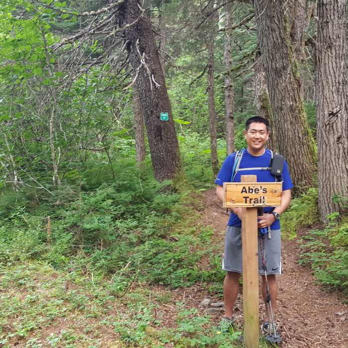
This trail technically begins 0.5 miles up from the Beaver Pond Trailhead (on Crow Creek Road), where there is a sign labeling it as such. This is a very pleasant trail through the forest up to the elevation where the alders take over and becomes too thick. Resources online say that it is 1.5 miles long and that it reaches tree line, but vegetation has grown over the end of the trail and will require substantial bushwhacking in order to reach the mapped point 1.5 miles up from the Beaver Pond Trail.
No Condition Reports
Crow Pass / Eagle River Trail - Iditarod National Historic Trail
Crow Pass / Eagle River Trail - Iditarod National Historic Trail
Contributors

