Ready to explore this trail?
View Trail Map in AppPath Type
Point to Point
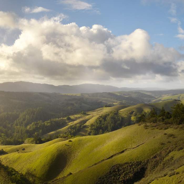
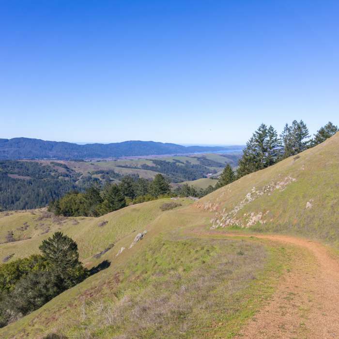
Barnabe Fire Road starts from the midsection of the Cross Marin trail and can be traveled in either direction. Begin with a steep trek up a hillside to gain the ridge. The grade eases but remains even as the trail ducks in and out of forested areas and grassy fields.
If you've made it this far, it would be a shame not to take in the stupendous views from Barnabe Peak, so it is highly recommended that you visit Barnabe Peak's summit via the short out-and-back towards the radio and fire observation towers. From the summit, you'll marvel at the panorama that includes views of Mount Tamalpais, Bolinas Ridge, Mt. Diablo, Lagunitas, Tomales Bay, and Point Reyes. In case you're curious, Barnabe Peak is named after (the explorer) John Fremont's mule who, once he was retired, frequently escaped from Samuel P. Taylor's farm to ramble this area.
When you're finished admiring the views, retrace your steps back down the ridge on Barnabe Fire Road (sometimes labeled "Riding and Hiking Trail"). Pass the junction with Bill's Trail and continue steeply downhill, pausing when needed to rest your legs! The trail moves steadily through open, nondescript fields scattered with coyote brush, but watch for wildflowers in the spring. Barnabe Fire Road ends at the junction with Gravesite Road.
Note: bikes and horses are also allowed on this trail.
No Condition Reports
Barnabe Peak Out and Back
Barnabe Peak Out and Back
Mount Wittenberg and Bear Valley Loop
Mount Wittenberg and Bear Valley Loop
Mount Wittenberg via Horse Trail
Mount Wittenberg via Horse Trail
Sky Trail Loop, Bear Valley to Mount Wittenberg
Sky Trail Loop, Bear Valley to Mount Wittenberg
Bear Valley + Coast + Woodward Valley + Meadow Trails Loop
Bear Valley + Coast + Woodward Valley + Meadow Trails Loop
Contributors

