Ready to explore this trail?
View Trail Map in AppParts of this trail are in the Mount Wrightson Wilderness and the usual federal wilderness area regulations and restrictions apply here. Practice Leave No Trace (LNT) backcountry skills and ethics. Motorized and mechanized vehicles and equipment, including mountain bikes, are not permitted in wilderness.
Path Type
Point to Point
The Bog Springs Trail starts at the Madera Canyon Picnic Area. There is a trail sign at the trailhead. The #156 starts as a trail but after about 0.3 miles becomes an old road that is somewhat rocky in places.
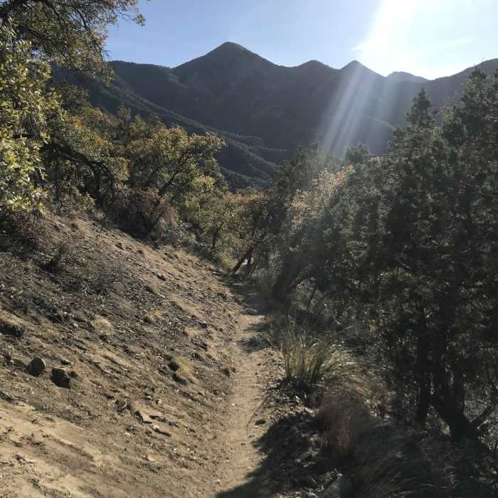
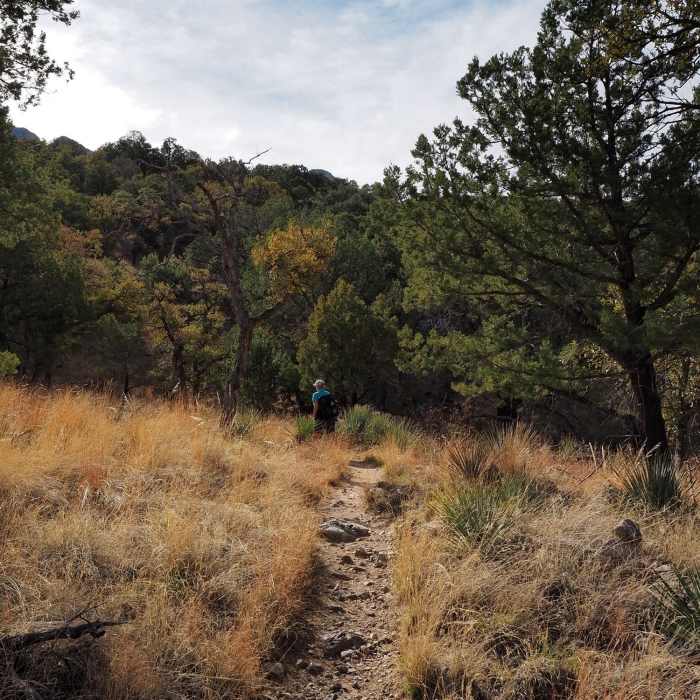
At 0.9 miles from the trailhead, the #156 leaves the old road to the right (east) and becomes a trail again. It will remain a trail all the way to Kent Spring. The trail climbs gradually on long traverses and short switchbacks until, 1.6 miles from the trailhead, you reach Bog Springs. There is a short side trail going down to the springs.
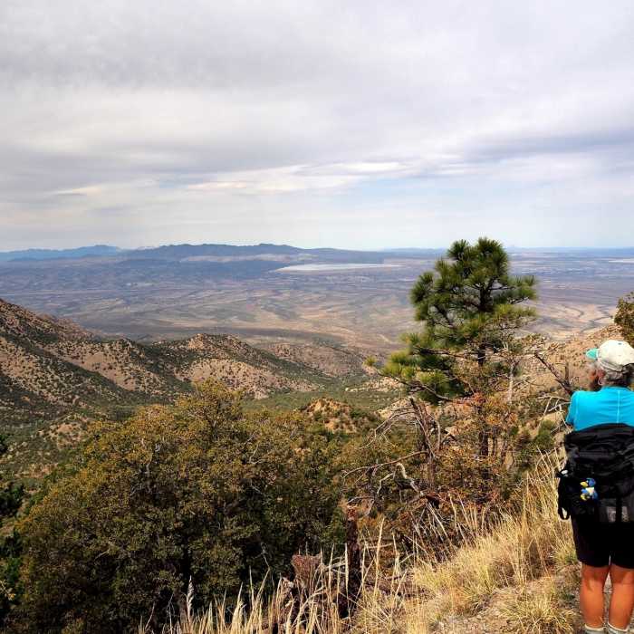
Past the springs the trail continues to climb until, at about 2.25 miles from the trailhead, it turns the corner of a ridge and begins contouring south toward Kent Spring. There are some excellent viewpoints along this stretch of the trail. You can expect good views of Madera Canyon, the Baboquivari Mountains, and Kitt Peak Observatory to the west.
At 2.8 miles from the trailhead, the Bog Springs Trail #156 ends at Kent Spring and its junction with the Kent Spring Trail #157.
No Condition Reports
Contributors

