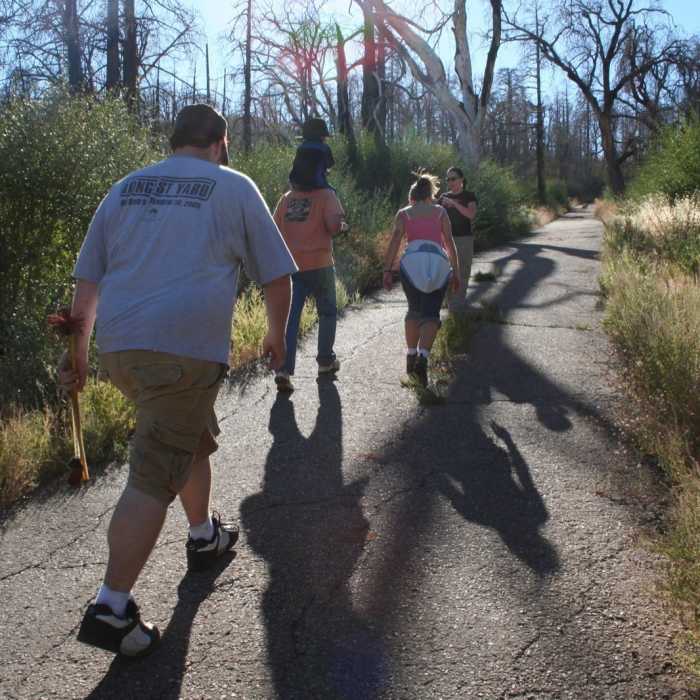
Near Lookout Fire Road
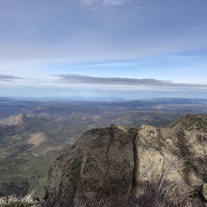
The view north from Cuyamaca Peak was cloudy and beautiful on a day in January 2017.
Near Lookout Fire Road
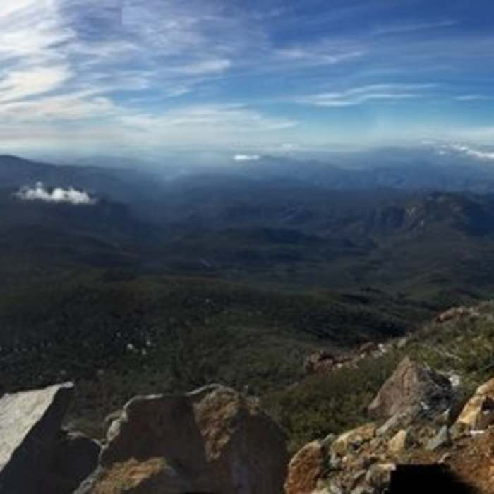
The view west from Cuyamaca Peak is simply stunning.
Near Lookout Fire Road
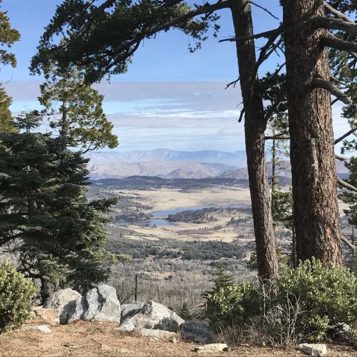
Lake Cuyamaca looks utterly gorgeous from the flank of Cuyamaca Peak.
Near Lookout Fire Road
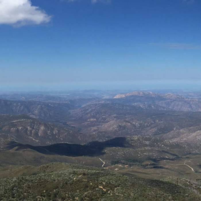
View from Cuyamaca Peak
Near Lookout Fire Road
Heading up the road.

Looking for more photos?

View All Photos
View Map
Driving Directions
Hike Trail

Lookout Fire Road

3.0 (1 Rating)
A wide fire road that isn't in great shape but provides access to a stunning view at Cuyamaca Peak.
2.7
mi
Distance
1,554
ft
Gain
moderate
Difficulty
ViewsWildlife
Access Issues
The only trail that allows dogs on leash in Cuyamaca Rancho SP.

Route Details

Flatter
Steeper
2.65mi
Distance
1,554ft
Elevation Gain
0ft
Elevation Loss
25%
Max Grade
6,434ft
High Point
4,880ft
Low Point
Path Type
Point to Point
Description
Access this fire road from Paso Pichaco campground as it winds to the west/southwest. This is a fairly tough trail as it has a sustained grade right around 10% with little to no shade. Plan accordingly and bring lots of water and sun protection.

Route Conditions

Report Conditions
No Condition Reports
Report Conditions

Nearby Hike Routes

Cuyamaca Peak

Hike Route

Cuyamaca Peak

Birding
moderate
5.59 mi
+1,646 ft
Stonewall Peak Loop

Hike Route

Stonewall Peak Loop

Birding
moderate
5.15 mi
+1,082 ft
Stonewall Peak

Hike Route

Stonewall Peak

Lake
easy
1.92 mi
+869 ft
Minshall Trail to Stonewall Mine Loop

Hike Route

Minshall Trail to Stonewall Mine Loop

Lake
easy
3.31 mi
+193 ft
West Mesa Loop

Hike Route

West Mesa Loop

Views
moderate
6.59 mi
+1,128 ft
Airplane Monument Loop

Hike Route

Airplane Monument Loop

Views
moderate
4.63 mi
+914 ft
Contributors
Zander Gopfert
