Near Switchback Trail
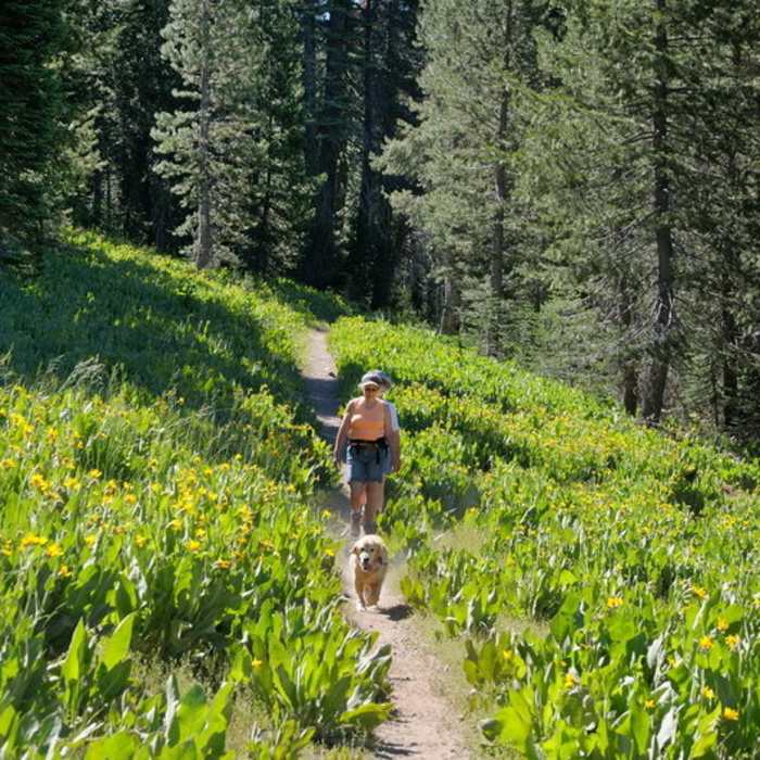
The Switchback Trail winds through carpets of mule's ear in Royal Gorge.
Near Switchback Trail
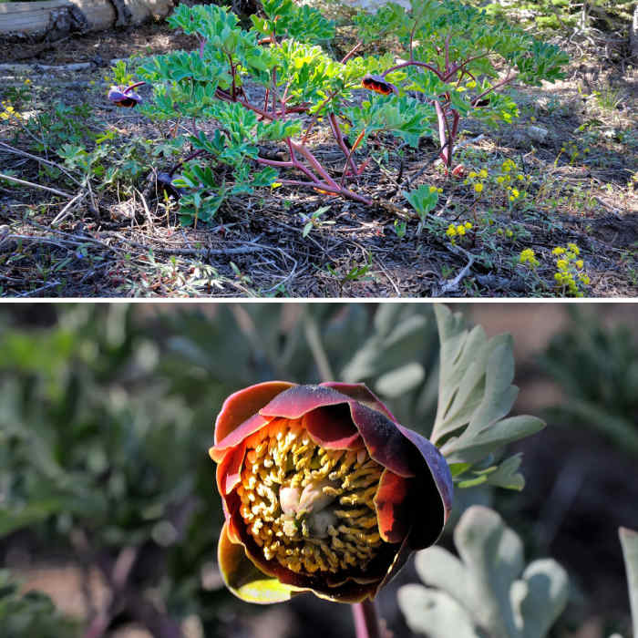
Keep your eyes peeled for flowering brown peony along the Switchback Trail in Royal Gorge.

Looking for more photos?

View All Photos
View Map
Driving Directions
Hike Trail

Switchback Trail

3.0 (1 Rating)
A multi-use trail along the east side of Serene Lakes community in the Royal Gorge area.
1
mi
Distance
102
ft
Gain
easy
Difficulty
BirdingFall ColorsFamily FriendlyWildflowersWildlife
Access Issues
A valid trail pass is required from the Royal Gorge ski resort for winter skiing.

Route Details

Flatter
Steeper
1.04mi
Distance
102ft
Elevation Gain
106ft
Elevation Loss
25%
Max Grade
7,035ft
High Point
6,912ft
Low Point
Path Type
Point to Point
Description
This multi-track trail is a ski trail in the winter and a popular hiking trail in the summer. It winds along the east side of the Serene Lakes community in the Lodgepole/Fir forest of the Royal Gorge open space area on Donner Summit. The trail is part of a network of trails that provide access to the open space area (see map for connecting trails). It can be traversed in both directions and is open to hiking, running and mountain biking in the summer and skiing in the winter. During the snowy months, it is usually groomed for both Nordic and skate skiing by the resort.

Route Conditions

Report Conditions
No Condition Reports
Report Conditions

Nearby Hike Routes

Rowton Peak Loop

Hike Route

Rowton Peak Loop

Family Friendly
strenuous
4.24 mi
+929 ft
Castle Peak Summit

Classic Hike Route

Castle Peak Summit

Views
moderate
5.72 mi
+1,929 ft
Hole in the Ground Loop

Classic Hike Route

Hole in the Ground Loop

Commonly Backpacked
moderate
15.71 mi
+2,175 ft
Warren Lake Trail to Frog Lake Cliffs

Hike Route

Warren Lake Trail to Frog Lake Cliffs

Lake
moderate
9.53 mi
+1,693 ft
Mt. Judah Loop

Hike Route

Mt. Judah Loop

Lake
moderate
5.5 mi
+1,336 ft
Pacific Crest Trail: California Section L - Interstate 80 to Highway 49 (near Sierra City)

Classic Hike Route

Pacific Crest Trail: California Section L - Interstate 80 to Highway 49 (near Sierra City)

Lake
moderate
36.97 mi
+5,304 ft
Contributors
George Lamson
