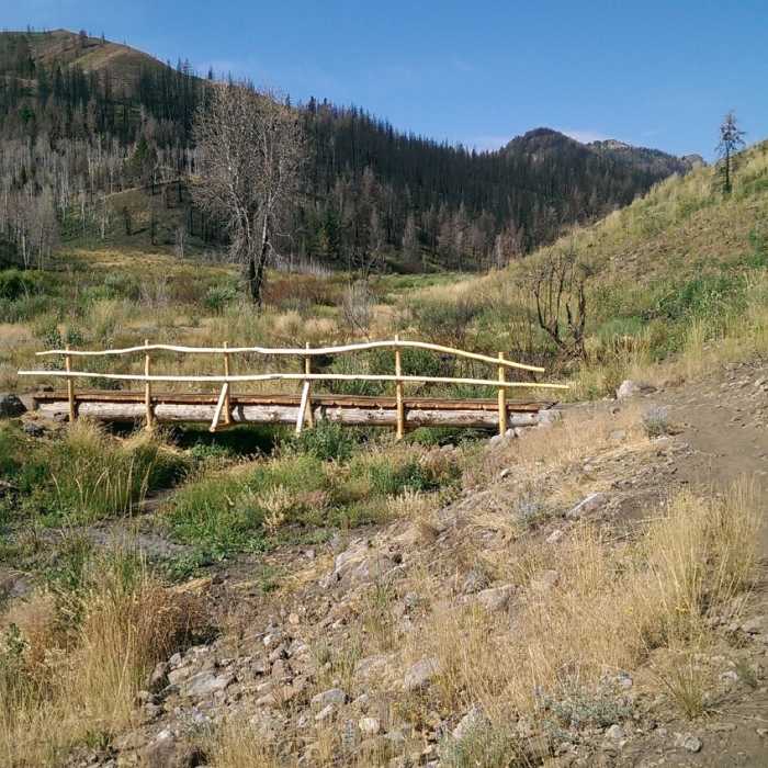
Near Cow Creek Trail
New bridge crossing for Greenhorn Creek

Looking for more photos?

View All Photos
View Map
Driving Directions
Hike Trail
Buy Now View in 3D

Cow Creek Trail

2.0 (1 Rating)
Beautiful views, with wildflowers during peak season.
4.1
mi
Distance
1,620
ft
Gain
moderate
Difficulty
ViewsWildflowers

Route Details

Flatter
Steeper
4.11mi
Distance
1,620ft
Elevation Gain
525ft
Elevation Loss
30%
Max Grade
7,487ft
High Point
5,905ft
Low Point
Path Type
Point to Point
Description
Reconstructed in 2007, the Cow Creek trail climbs rolling, south-facing, rock filled grassy slopes above the greenhorn parking lot. With two long east and west legs and a mid-elevation short-cut, there are several possible ways to hike the cow creek loop. The lower east leg is rocky and technical, but is a fun descent to finish a hike out of Greenhorn, while the early-summer wildflowers along the west leg will keep you in paradise. Directions: Drive south on Highway 75 to the East Fork stoplight (5.5 mi). Turn right onto Greenhorn Gulch Road and follow it to the parking lot (3.7 mi).

Route Conditions

Report Conditions
No Condition Reports
Report Conditions

Nearby Hike Routes

Bald Mountain Trail

Hike Route

Bald Mountain Trail

Views
strenuous
5.12 mi
+3,267 ft
Proctor Mountain Loop

Hike Route

Proctor Mountain Loop

Fall Colors
moderate
1.06 mi
+13 ft
Proctor Mountain Loop via Corral Creek

Hike Route

Proctor Mountain Loop via Corral Creek

Views
strenuous
9.84 mi
+2,794 ft
Driveway Gulch Hike

Hike Route

Driveway Gulch Hike

Views
moderate
2.33 mi
+1,973 ft
Chocolate Gulch Trail Loop

Hike Route

Chocolate Gulch Trail Loop

Birding
moderate
3.65 mi
+820 ft
Johnstone Creek Hike

Hike Route

Johnstone Creek Hike

Fall Colors
moderate
10.06 mi
+2,418 ft
Contributors
Jordan Carr
