Ready to explore this trail?
View Trail Map in AppPath Type
There and Back
The trailhead for the Pocket Lake Trail is on the North Shore Shoshone Lake Trail on the north side of the lake. It is one of the newest official trails in Yellowstone. This little known and infrequently traveled spur trail leads 1.2 miles uphill to a small lake that sits in an indentation or "pocket" of the plateau.
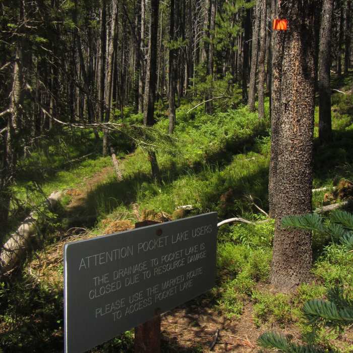
For years, an unofficial fisherman's use trail closely followed the small creek that flows out of Pocket Lake and drains down 400 vertical feet to Shoshone Lake. To prevent damage to the creek, an official tail was constructed above and away from the creek on the north side. Today, the trail is well marked with bright orange markers and is easy to follow.
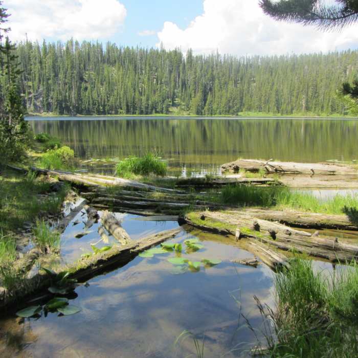
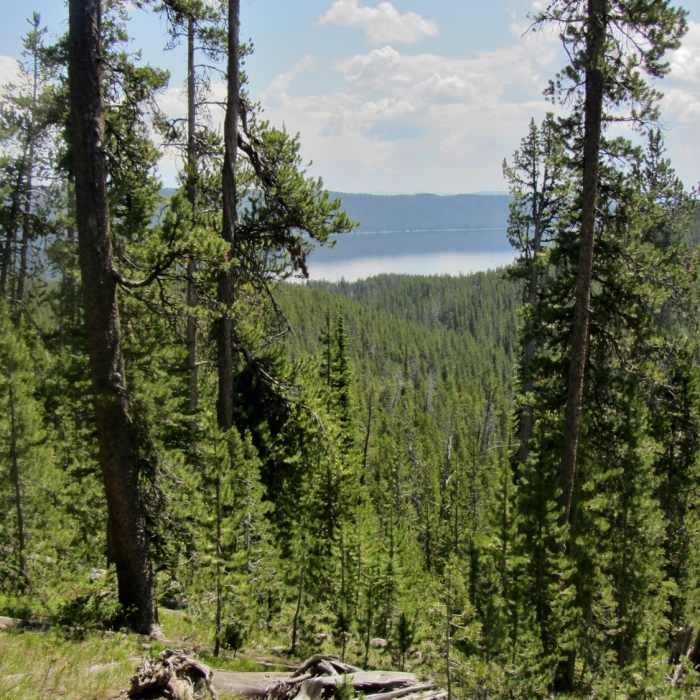
The trail leaves the North Shore Shoshone Lake Trail and immediately begins its 440 foot climb through lodgepole forests in the first mile, then drops slightly into the pocket where the lake sits. Along the way there are occasional views of Shoshone Lake through the trees. Pocket Lake is just 14 acres in size, but it sits in a lovely location. It contains a healthy population of cutthroat trout.
Thanks to guidebook author, Tom Carter, for sharing this trail description. To learn more about visiting Yellowstone, check out his book, Day Hiking Yellowstone.
No Condition Reports
Contributors

