Near CCC Trail
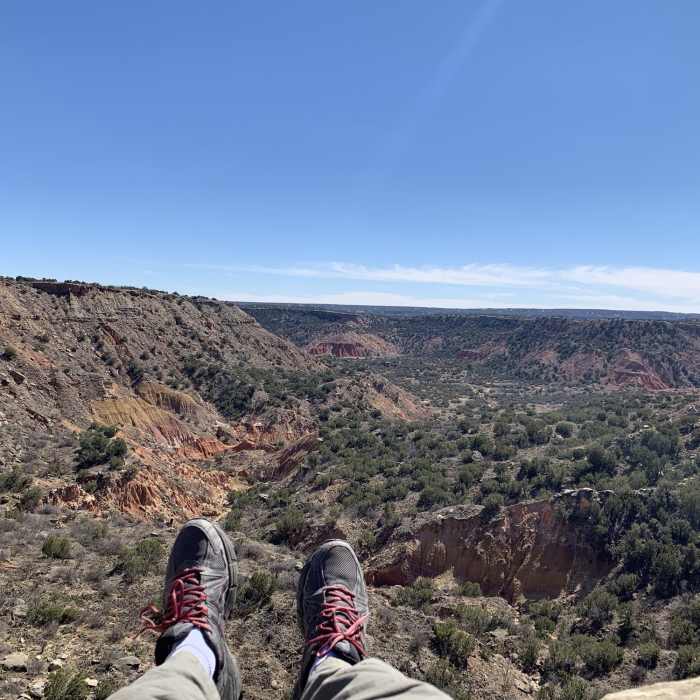
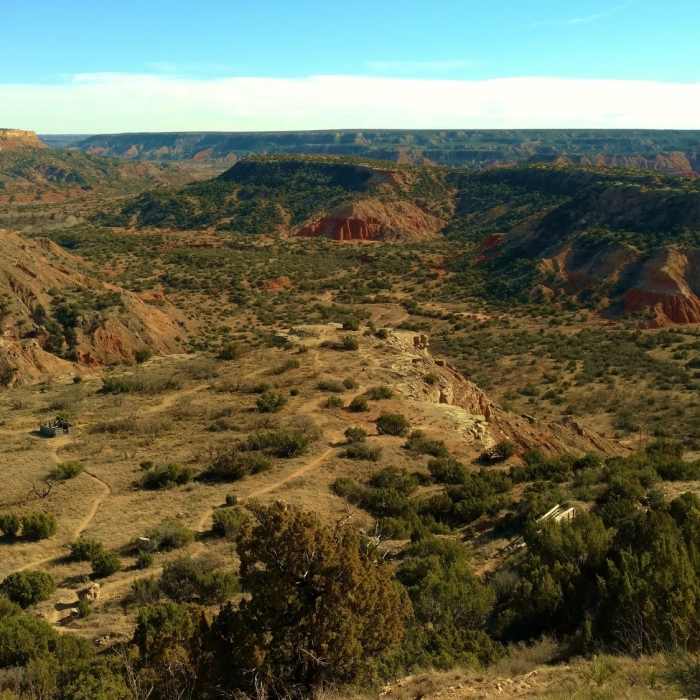
Several great places along the trail to take a break and enjoy the views
Near CCC Trail
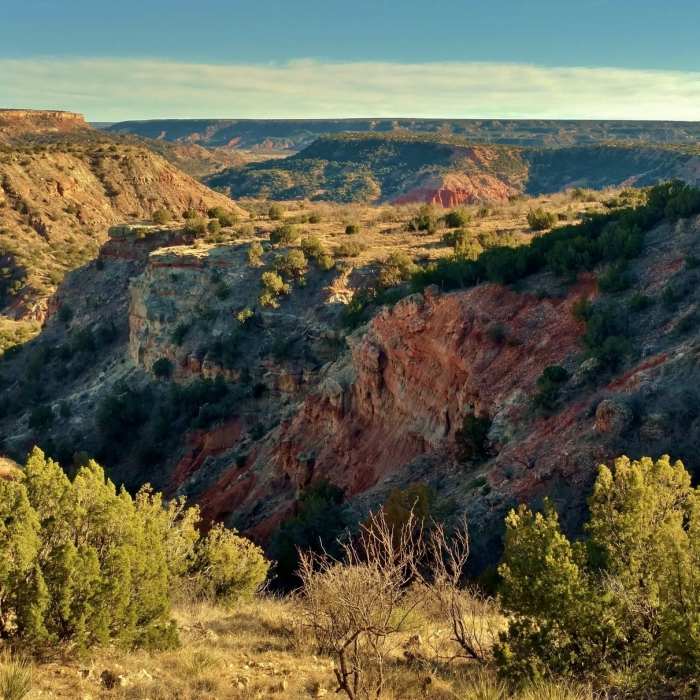
Palo Duro Canyon from the rim viewpoint on a sunny February day.
Near CCC Trail
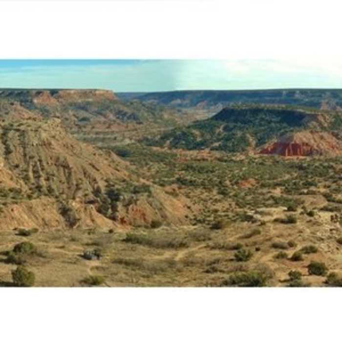
Palo Duro Canyon from the canyon rim viewpoint. 90 degree panorama. Left/east to right/south - ridge to Goodnight Peak with Prairie Dog Fork Red River behind it, Timber Creek in the foreground, and Timber Mesa on the far side of Timber Creek.
Near CCC Trail
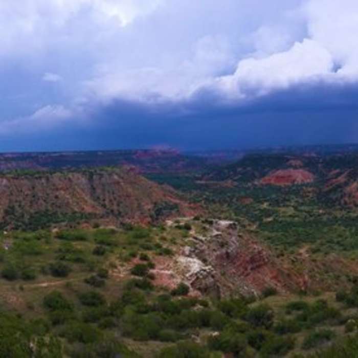
Palo Duro Canyon, with a storm moving in.
Near CCC Trail
Palo Duro Canyon looking southeast from about a quarter mile from the CCC Trail start.

Looking for more photos?

View All Photos
View Map
Driving Directions
Hike Trail

CCC Trail

4.6 (7 Ratings)
Short trail that winds from the Palo Duro Canyon rim to the canyon floor with dramatic views along the way.
1.4
mi
Distance
43
ft
Gain
strenuous
Difficulty
BirdingRiver/CreekViewsWildlife

Route Details

Flatter
Steeper
1.35mi
Distance
43ft
Elevation Gain
530ft
Elevation Loss
45%
Max Grade
3,408ft
High Point
2,917ft
Low Point
Path Type
Point to Point
Description
The CCC Trail starts from a turnout on the Palo Duro Canyon rim, very near the Visitor Center. There are many small paths going down into the canyon from here, so carefully make sure to get on the CCC Trail. Basically, go northwest on the wide path that follows the road into the canyon. There are trail markers every 0.1 mile along this trail. So while alongside the road, one should see the first 0.1 mile CCC Trail marker, and the canyon dropping off to the right/east of the trail. At the 0.1 mile mark, the CCC Trail veers away from the road as it continues along the edge of the canyon rim. Soon a small stream bed is crossed and the trail does a U-turn as it continues to follow the canyon edge, but now it is on a ridge that will eventually lead to Goodnight Peak to the southeast. The drop off into the canyon is still to the right. At the 0.7 mile mark Triassic Trail is passed on the left and CCC Trail bends to the right. There are several dramatic overlooks here. The ridge leading to Goodnight Peak narrows around the 0.8 mile mark, so narrow that there are steep drop offs and views on both sides of the trail. From here, the trail veers to the other/east side of the ridge and finishes its descent to the canyon floor. As it continues descending, the steep red cliffs of the canyon walls rise above the trail to the west. After a couple sets of switchbacks, the trail ends on the canyon floor at the amphitheater and a parking area.

Route Conditions

Report Conditions
Anonymous Adventurer
All Clear
Anonymous Adventurer
All Clear
Anonymous Adventurer
All Clear
Anonymous Adventurer
All Clear
Looking for more condition reports?
View History

Nearby Hike Routes

Lighthouse - GSL - PDR Loop

Hike Route

Lighthouse - GSL - PDR Loop

Birding
moderate
6.19 mi
+333 ft
Lighthouse Trail

Hike Route

Lighthouse Trail

Family Friendly
moderate
5.92 mi
+457 ft
Harbor Bay Trail

Hike Route

Harbor Bay Trail

Geologically Significant
strenuous
10.39 mi
+1,119 ft
Upper Canyon Loop

Hike Route

Upper Canyon Loop

Birding
moderate
6.75 mi
+833 ft
Haynes Ridge - Fern Cave Loop

Hike Route

Haynes Ridge - Fern Cave Loop

Family Friendly
strenuous
6.52 mi
+859 ft
Mae Simmons Outer Loop Trail

Hike Route

Mae Simmons Outer Loop Trail

Lake
moderate
6.66 mi
+194 ft
Contributors
Joan Pendleton
