Ready to explore this trail?
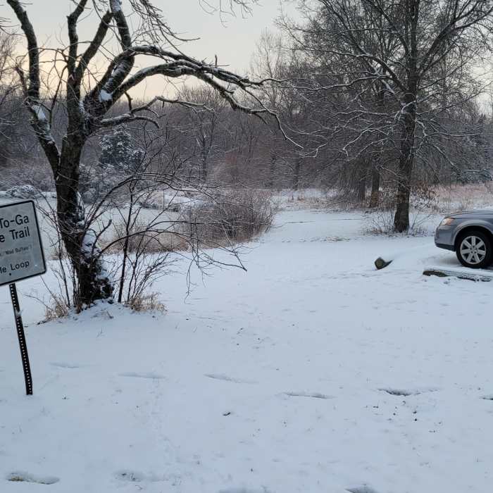
View Trail Map in AppMissouri Town 1855 hours are 9am to 4:30 pm. Flemming Park gate hours are 8am to sunset. Missouri town is located in Flemming Park. NOTE: there are gates into the park, do not get your vehicle locked in
Path Type
Point to Point
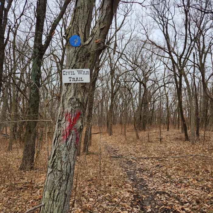
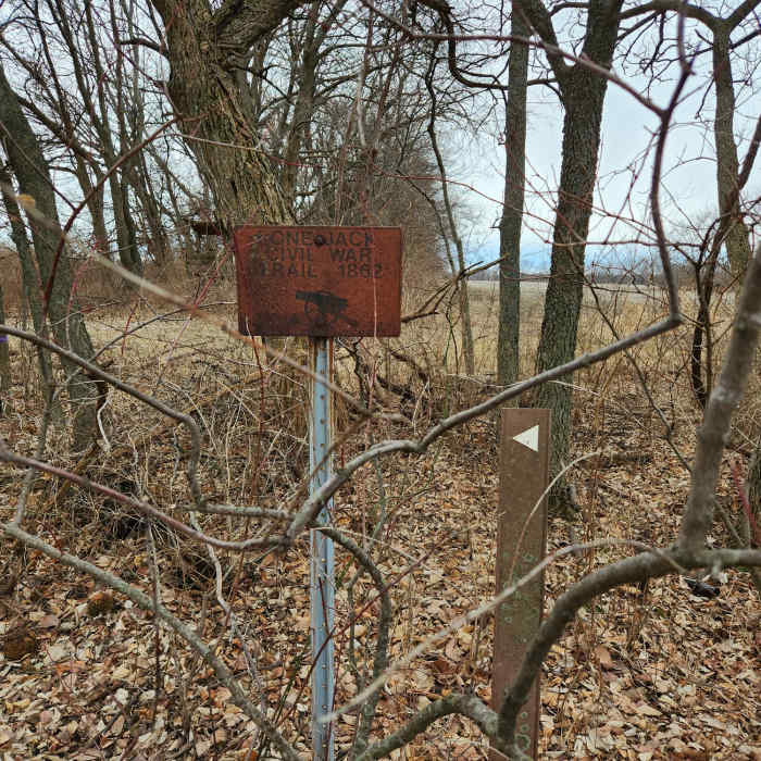
Trail begins at Missouri Town 1855, travels along roads and then through Blue and Gray Park and ends at the Lone Jack civil war museum in Lone Jack, Missouri. Its a challenge to follow the trail thru Blue and Gray Park due to the many other crudely marked trails and unmark trails. Pay close attention to the blue round markers with a cannon on them to get you thru the Park. During wet weather the trail can be very muddy. Horse back riders use these trails and the trails are rough. There are also several creek crossing. This is long lost trail that Boy Scouts would hike and then you could receive a patch and or a metal many years ago. Patches and metals are no longer available. NOTE: If you park your car in the parking lot at Missouri Town 1855, the Hours are 9am to 4:30pm and there is a locking gate. Don't get your car locked in the parking lot! Recommend to park a vehicle at the Lone Jack civil war museum and have some one shuttle you over to Missouri town.. Due to this trail is 90 percent on roads, please be alert to the on coming vehicles and wear high visible clothing.
As you'll see I did not start recording the hike in the parking lot of Missouri town until I was a little ways down the road and thats because I almost forgot to start the recording.
No Condition Reports
Augie PH3 Half Loop
Augie PH3 Half Loop
Burr Oak Woods Dumbell Loop
Burr Oak Woods Dumbell Loop
Truman's Walk
Truman's Walk
Rocky Point Glade
Rocky Point Glade
Wudchuck Run (Phases 7 & 8)
Wudchuck Run (Phases 7 & 8)
Powell Gardens
Powell Gardens
Contributors

