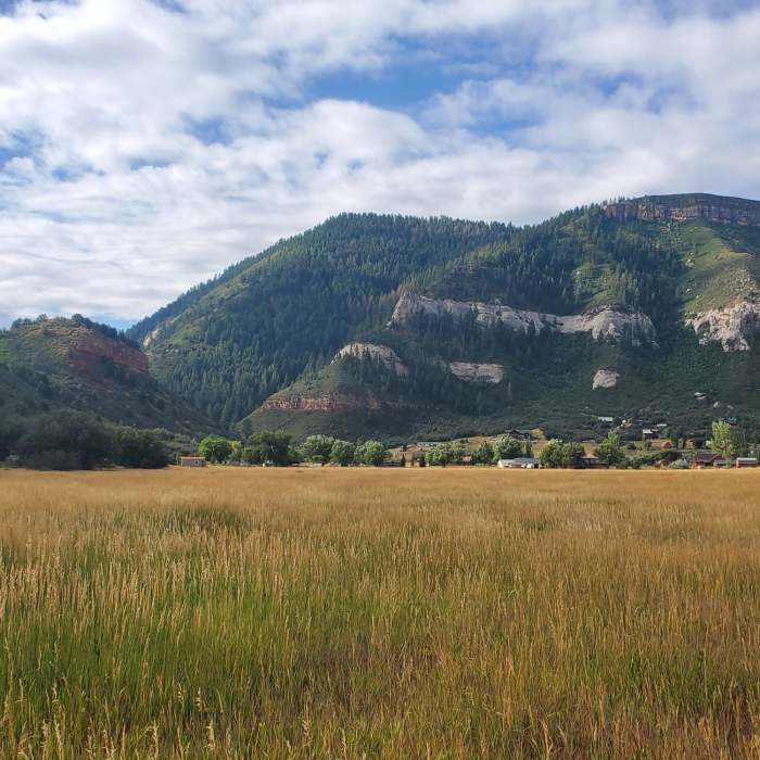
Near South Meadow
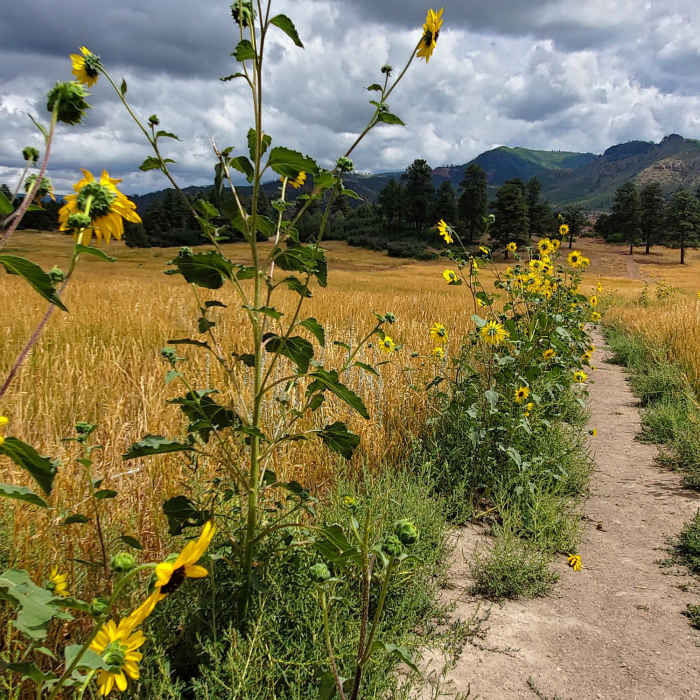
Sunflowers basking at a trail junction.
Near South Meadow
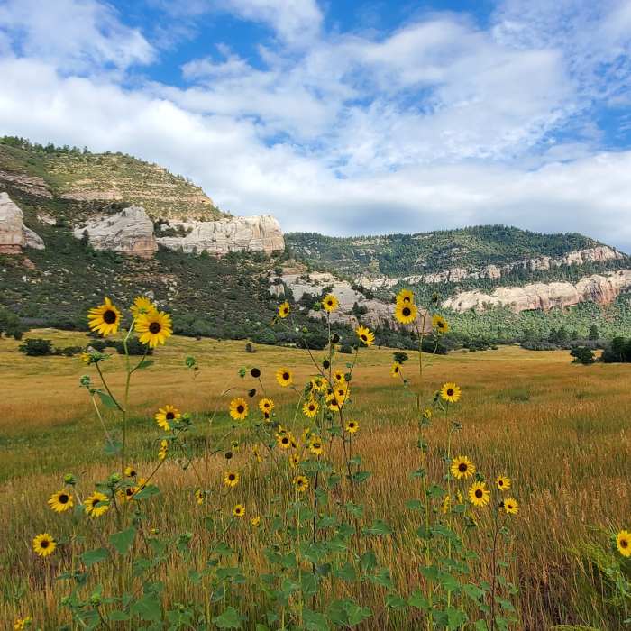
Sunflowers and colorful cliffs towards the west.
Near South Meadow
Pretty meadow on the Church Camp trail.
Near South Meadow
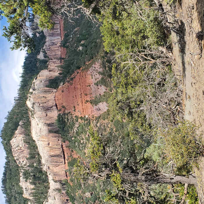
More red and white cliffs towards the northwest.
Near South Meadow
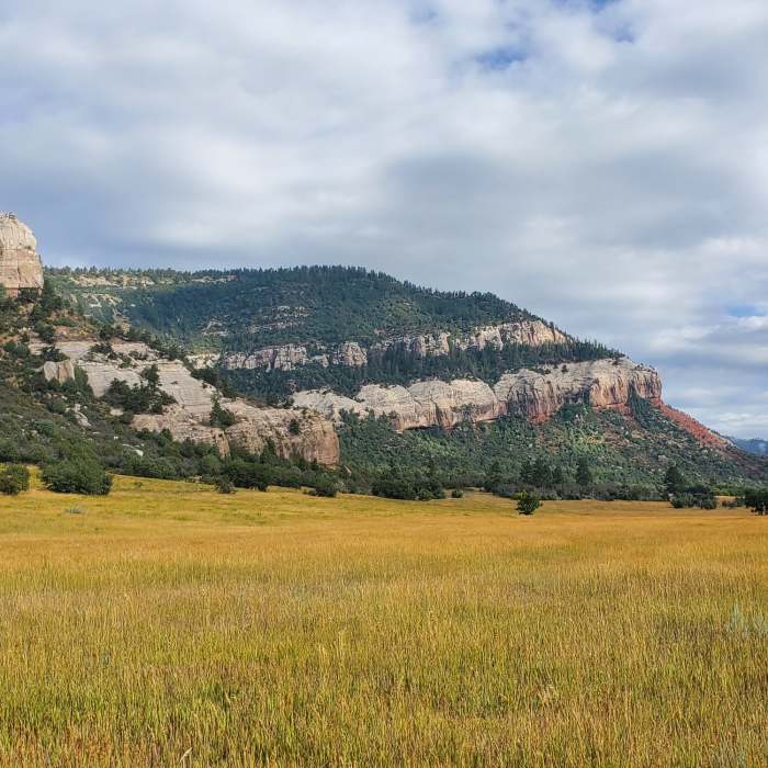
Great views to the south over golden grasses in August.

Looking for more photos?

View All Photos
Driving Directions
Hike Trail

South Meadow

3.0 (1 Rating)
This enjoyable ramble through a grassy meadow also features nice views of the surrounding rock formations
1.1
mi
Distance
110
ft
Gain
easy
Difficulty
ViewsWildflowers

Route Details

Flatter
Steeper
1.06mi
Distance
110ft
Elevation Gain
0ft
Elevation Loss
10%
Max Grade
7,069ft
High Point
6,959ft
Low Point
Path Type
Point to Point
Description
This map starts at the main parking area, but numerous parking spots can be found along Falls Creek Road (County Road 205). There are also many, many east-west connector trails in this valley. Starting from the main parking area, head directly north through the grassy fields. The trail alternates between narrow 2 track and slightly wider singletrack, and is sometimes a bit rutted. The trail feels mostly flat but does rise gently to the north. Along the way you'll see late summer sunflowers and maybe a few mini-lupine plants. The views to the south are of Animas Mountain's cliffs, the views to the east are of the hogback that separates Fall Creek Valley from Animas Valley, and the pink and white rocky outcrops to the west make up the Logchutes plateau area.

Route Conditions

Report Conditions
No Condition Reports
Report Conditions

Nearby Hike Routes

Animas Overlook Trail

Hike Route

Animas Overlook Trail

ADA Accessible
easy
0.62 mi
+87 ft
Animas Mountain Loop

Classic Hike Route

Animas Mountain Loop

Birding
moderate
5.77 mi
+1,518 ft
Junction Creek Trail, Colorado Trail

Hike Route

Junction Creek Trail, Colorado Trail

Dogs Allowed
easy
1.47 mi
+318 ft
Smelter Mountain Trail

Classic Hike Route

Smelter Mountain Trail

Birding
strenuous
3.9 mi
+1,512 ft
Hermosa, Clear, South Fork Creeks Loop

Hike Route

Hermosa, Clear, South Fork Creeks Loop

River/Creek
strenuous
26.69 mi
+5,154 ft
Highline Loop Trail

Classic Hike Route

Highline Loop Trail

Commonly Backpacked
strenuous
19.37 mi
+4,414 ft
Contributors
Megan W
