Near Boulder Reservoir Trail
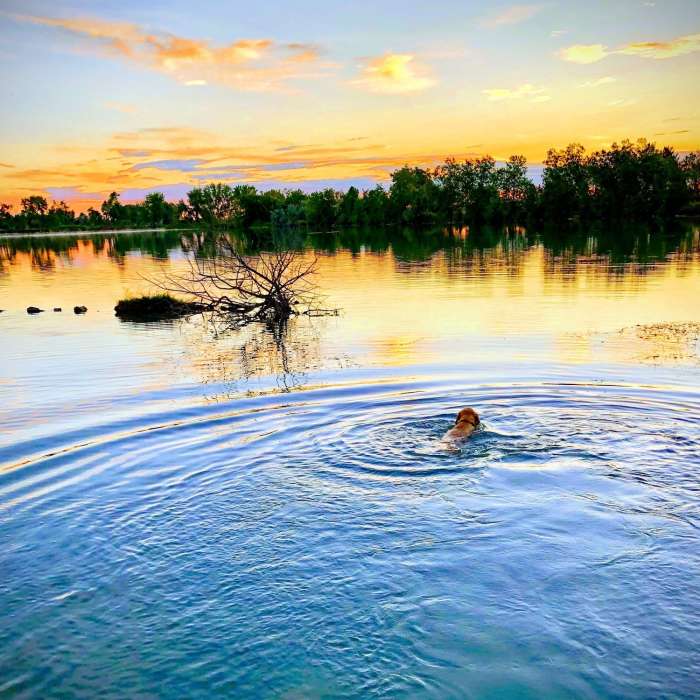
Early Morning Swim
Near Boulder Reservoir Trail
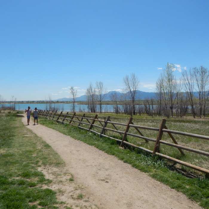
Boulder Reservoir
Near Boulder Reservoir Trail
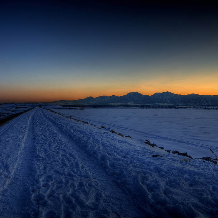
Near the entrance of the Boulder Reservoir Trail
Near Boulder Reservoir Trail
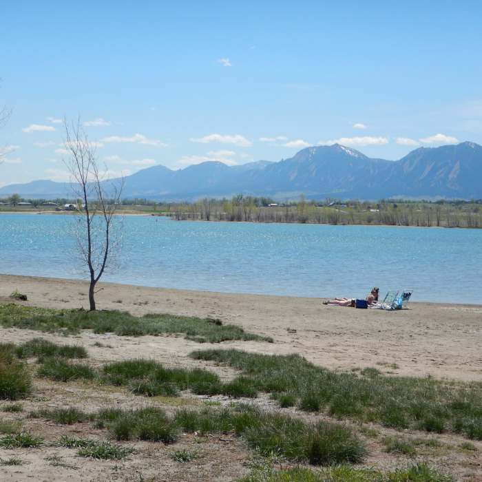
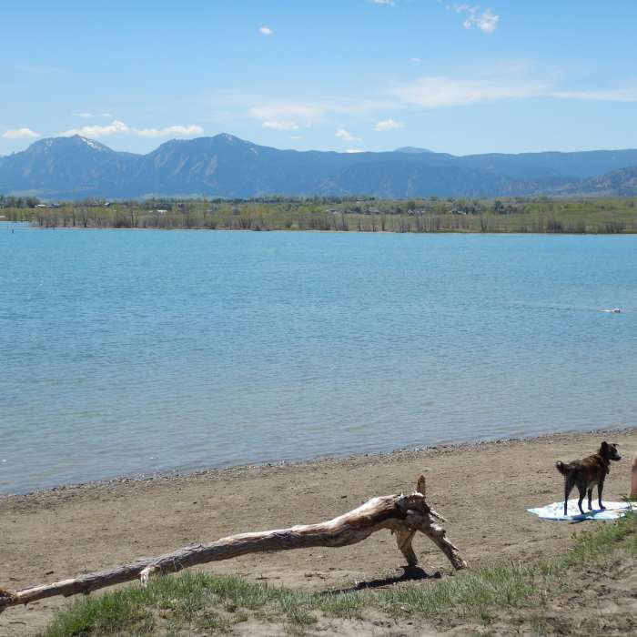
The "beach" at Boulder Reservoir
Near Boulder Reservoir Trail
Views of the Flatirons from the Boulder Reservoir "beach"

Looking for more photos?

View All Photos
View Map
Driving Directions
Hike Trail

Boulder Reservoir Trail

3.3 (4 Ratings)
A tranquil trail that wraps around the eastern shores of Boulder Reservoir.
2.7
mi
Distance
52
ft
Gain
easy
Difficulty
BirdingFall ColorsLakeLakefrontViewsWildflowersWildlife
Access Issues
Dogs are not allowed in the park May 15 through Labor Day.

Route Details

Flatter
Steeper
2.66mi
Distance
52ft
Elevation Gain
47ft
Elevation Loss
10%
Max Grade
5,225ft
High Point
5,176ft
Low Point
Path Type
Point to Point
Description
"The Res" as locals call it, is a scenic trail around the edge of Boulder Reservior in North Boulder. This trail follows the eastern shoreline of the reservoir with very few ups or downs. Views of the eastern plains as well as western peaks abound.

Route Conditions

Report Conditions
No Condition Reports
Report Conditions

Nearby Hike Routes

Boulder Valley Ranch Loop

Hike Route

Boulder Valley Ranch Loop

Views
easy
2.79 mi
+149 ft
Walden Ponds Wildlife Habitat

Hike Route

Walden Ponds Wildlife Habitat

Views
easy
1.51 mi
+14 ft
Mesa Reservoir Loop

Hike Route

Mesa Reservoir Loop

Lake
easy
1.89 mi
+117 ft
Hogback Ridge Loop

Hike Route

Hogback Ridge Loop

Views
moderate
2.08 mi
+729 ft
Teller Farm - The Tank

Hike Route

Teller Farm - The Tank

Birding
easy
8.73 mi
+370 ft
South Boulder Creek Trail via Bobolink Trailhead

Hike Route

South Boulder Creek Trail via Bobolink Trailhead

Dogs Allowed
easy
6.73 mi
+157 ft
Contributors
Ben Pontecorvo
