Ready to explore this trail?
View Trail Map in AppThis trail ends at private property. Please respect all No Trespassing signs.
Path Type
Point to Point
This map starts at the main parking area, but numerous parking spots can be found along Falls Creek Road (County Road 205).
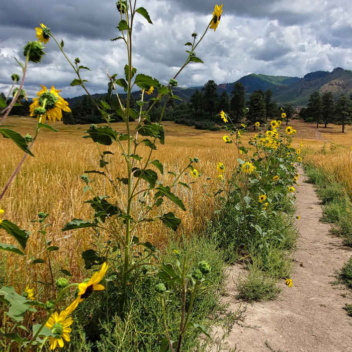
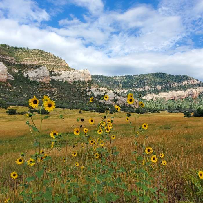
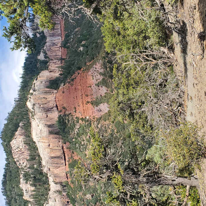
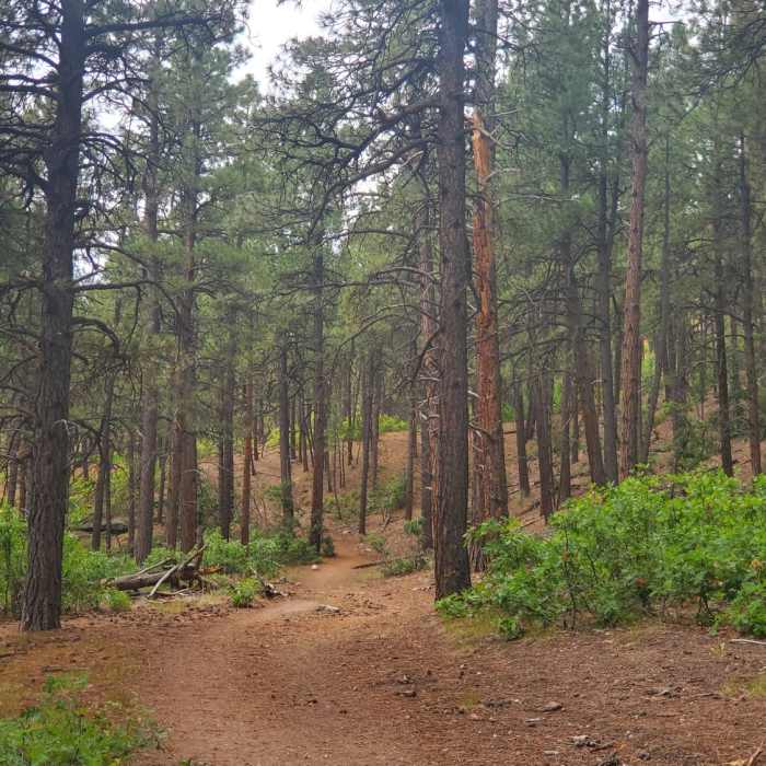
Follow the trail northeast up the open, grassy valley and up to the ridge. The ridge is more forested with pine and scrub oak and features mellow terrain. There are many east-west spur trails in this area, so generally follow the trail that heads north along the ridge. At approximately 1.5 miles, you'll come to a very steep descent down to Falls Creek. An alternative trail drops to the east side of the ridge offering a more gentle descent.
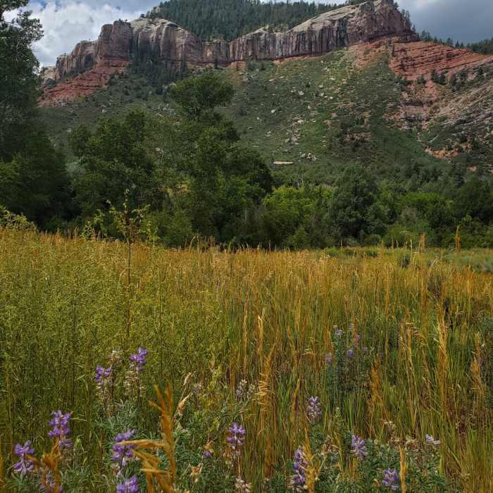
At the bottom of the descent, you'll come to a prominent fork in the trail. A very rickety bridge crosses the creek towards the west. Instead, take the right fork to cross the creek over a better built bridge. Continue northeast through a meadow, pass an old mine/foundation and contour around the hillside. This trail takes you on the east side of the ridge into an old burn area with tall pines. After some more rolling, shaded forest, you'll reach a sign indicating that you are on private property and to remain on the trail. This is the turn around point.
No Condition Reports
Animas Overlook Trail
Animas Overlook Trail
Animas Mountain Loop
Animas Mountain Loop
Junction Creek Trail, Colorado Trail
Junction Creek Trail, Colorado Trail
Smelter Mountain Trail
Smelter Mountain Trail
Hermosa, Clear, South Fork Creeks Loop
Hermosa, Clear, South Fork Creeks Loop
Highline Loop Trail
Highline Loop Trail
Contributors

