Near Blue/White Dot Trail
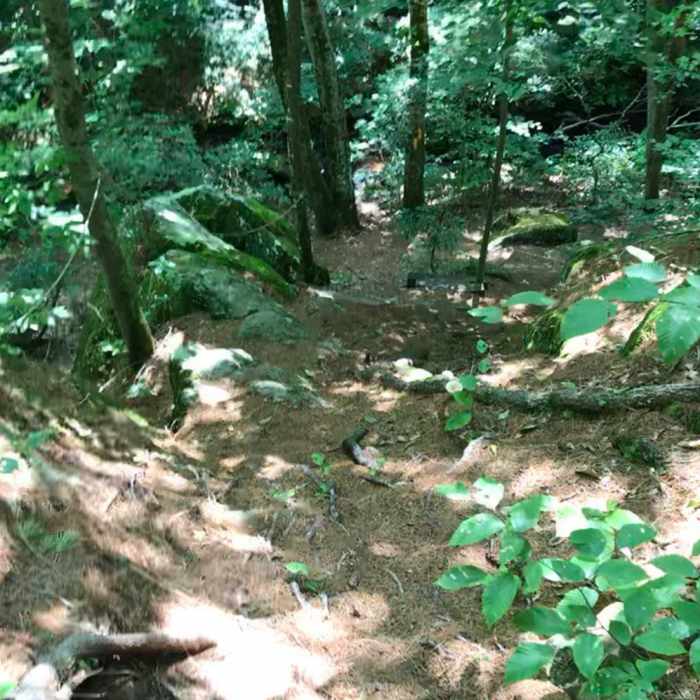
Descent from the first ridge.

Looking for more photos?

View All Photos
Driving Directions
Hike Trail

Blue/White Dot Trail

4.0 (1 Rating)
A hilly hike in the woods with views of and from rock formations.
1
mi
Distance
129
ft
Gain
moderate
Difficulty
Geologically SignificantViews

Route Details

Flatter
Steeper
1mi
Distance
129ft
Elevation Gain
180ft
Elevation Loss
25%
Max Grade
135ft
High Point
48ft
Low Point
Path Type
Point to Point
Description
This trail splits off of the White Trail and, as its name suggests, is blazed with a blue rectangle with a white dot. The trail begins with a rolling hike up and down a few small hills. Eventually, the trail dips down and a large rock formation to the right. Here, the Blue Cross Trail splits off to the right. The trail continues up an incline and turns to the right up the aforementioned rock formation. It follows this ridge on its western edge and offers wonderful, if not incredibly scenic, views of the surrounding treetops. As the trail exits the ridge it descends a small rockfall. This area does require some scrambling. It then switchbacks and climbs once again. Here, the trail widens and continues to its terminus.

Route Conditions

Report Conditions
No Condition Reports
Report Conditions

Nearby Hike Routes

Northwoods Loop

Hike Route

Northwoods Loop

Geologically Significant
strenuous
10.32 mi
+1,612 ft
Chatfield Trail

Hike Route

Chatfield Trail

easy
2.54 mi
+413 ft
West Rock Ridge Loop

Hike Route

West Rock Ridge Loop

Cave
strenuous
7.69 mi
+956 ft
Lake Wintergreen Loop

Hike Route

Lake Wintergreen Loop

Fishing
moderate
1.59 mi
+60 ft
Castle Craig

Hike Route

Castle Craig

Fall Colors
moderate
2.99 mi
+580 ft
Shenipsit Trail

Hike Route

Shenipsit Trail

River/Creek
strenuous
50.19 mi
+5,319 ft
Contributors
Daniel McCloskey
