Ready to explore this trail?
View Trail Map in AppPath Type
Point to Point
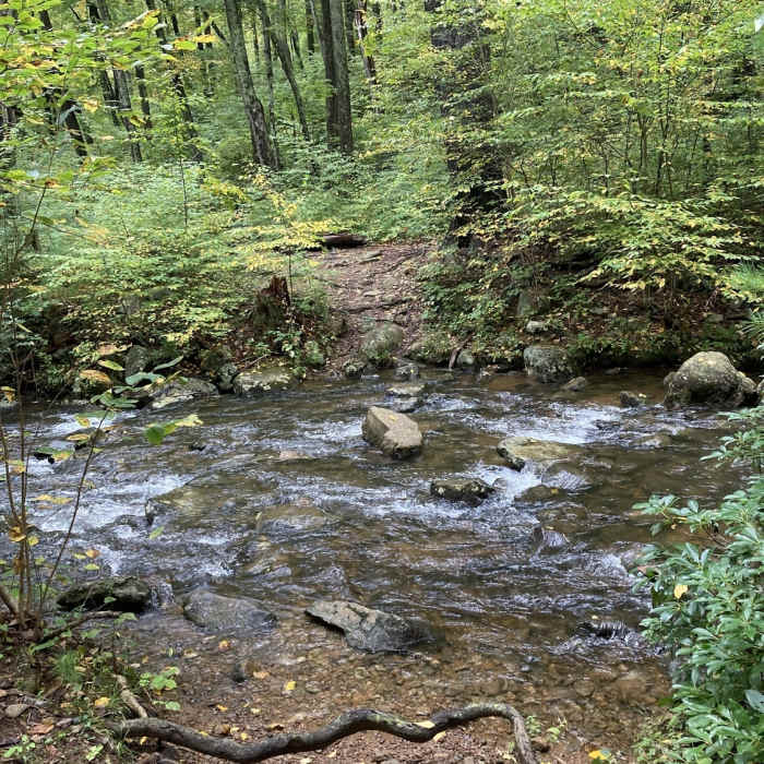
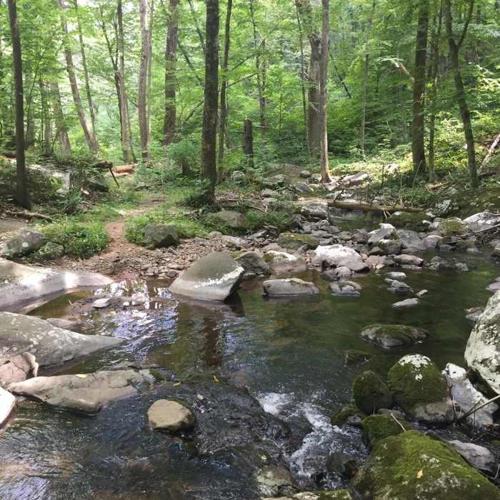
This 3.3-mile trail starts at the valley floor and slowly climbs up a valley to cross the Hazel River four times. After the water has been crossed four times, the trail becomes steeper as it approaches the Hazel Mountain Trail.
Access and parking for the two trails starting in the valley is a bit challenging. Rte 600 (Woodstock Rd) is dirt and there are only about 5 spots to park near the junction of Hungry Horse Lane. You may not drive or park on Hungry Horse Lane.
After parking in one of the few allowable parking spots, you'll hike up Hungry Horse Lane a couple hundred yards to the trailhead for the Hazel River Trail. The four crossings of the Hazel River may be unsafe to execute during the wet season, and it is advised to use Sams Ridge Trail instead. You can also create a nice loop by either starting or finishing with Sams Ridge Trail and connecting them with Hazel Mountain Trail.
No Condition Reports
Contributors

