Ready to explore this trail?
View Trail Map in AppBeware of bears, elk, and moose in the area.
Path Type
Point to Point
The Bicentennial Trail can be taken in both directions, and either way, you'll have an equal amount of steep climbing to keep your heart pounding. To get to each end of the trail, you'll need to climb on the North Fork River Trail or Cutler Creek Trail, which are both jeep trails.
For more miles, you have a choice of parking either at the northern Mule Shoe Trail parking lot, just below it down the North Fork Park Rd, or at the main northeast North Fork Park campgrounds.
For less jeep road hiking, I prefer parking at the main northeast North Fork Park campgrounds and climbing up the North Fork River Trail. From the main campgrounds, follow the jeep road to the left and make your way around the metal gate. After a few hundred yards, take the trail on the left to start the long steep climb up the Bicentennial Trail. At mile .71, you'll reach the junction of the Middle Link Trail, which is a great shortcut that will take you back down to the North Fork River Trail.
Continue straight on the trail to climb up to the top at mile 1.28. Then you start the descent on the Bicentennial Trail until you cross the Cutler Flat Trail junction on the right side at mile 1.46. Continue straight downhill until you have to cross Cutler Creek. Watch out for shin deep water and big river rocks as you make your way first to the sandbar and then across the rest of the water before making your way up the side banks.
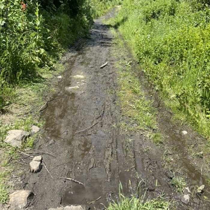
After drying your soggy socks and shoes, proceed to the left until you merge with the Cutler Creek Trail (jeep trail). For the next .25 mile down the jeep trail, there might be quite an overflow from the creek making it wet and muddy.
Once you've made your way through the swampy jeep road, you'll start climbing a hill to get to the northwest bowery and campgrounds. Shortly down the jeep trail, you'll see the Cutler Spring Trail that will connect with the Ben Lomond Trail. Staying straight on the Cutler Creek Trail will end at the other parking area below and turning right up North Fork Park road to lead to the northern Mule Shoe and Mule Ear trailhead and parking lot.
To get back to your car, go straight on North Fork Park road and stay left to get back to the main northeast North Fork Park campgrounds.
No Condition Reports
Contributors

