Ready to explore this trail?
View Trail Map in AppWilderness permits are required with daily quotas. The Piute Pass Trail is very popular. Normally a percentage of permits are reserved as walk-in permits, but these are not available in 2020 because of Covid-19.
Path Type
Point to Point
Once over Piute Pass, it is an easy hike to Desolation Lake. The current, well-traveled route starts from an unsigned junction with the Piute Trail about 1.4 miles from Piute Pass, and about 200 yards past the trail fork for Golden Trout Trail. Note: The current junction is well west of where it is shown on the USGS topographical map (and the 'Y' for Golden Trout is well east of where it is shown), but the Desolation junction is shown correctly on the Tom Harrison map, "Mono Divide High Country". The Harrison map shows it as a primitive trail, but this hardly matters. With the gentle slopes and sparse vegetation, you can largely hike wherever you want without a trail.
From the junction, the trail climbs a low ridge for about 1/2 mile, with sweeping views of the Glacial Divide to the south and Mt. Humphreys to the east. The trail then drops to the stream coming from Humphreys Lakes. It is an easy off-trail hike to Lower Desolation Lake (less than 1/2 mile to the far shore). The Desolation trail makes a 200 foot climb up to the south rim of Desolation Lake and drops less than 50 feet to run for a short distance around the eastern shore, where there are some good, but exposed campsites.
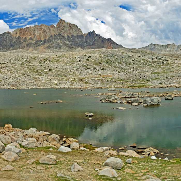
As the name suggests, the lake is barren, except for patches of low grass and flowers and an occasional low bush. There are also some good, but exposed, campsites on the western shore. These have great afternoon and evening views of Mt. Humphreys.
Mesa Lake is less than 1/2 mile to the west, over a very low ridge. It is also barren, except for low grass, but it has a great view of the Glacial Divide. Forsaken Lake, northeast of Desolation Lake, is easy to reach, but when viewed from above, it did not look like it was worth the hike.
No Condition Reports
Contributors

