Ready to explore this trail?
View Trail Map in AppPath Type
Point to Point
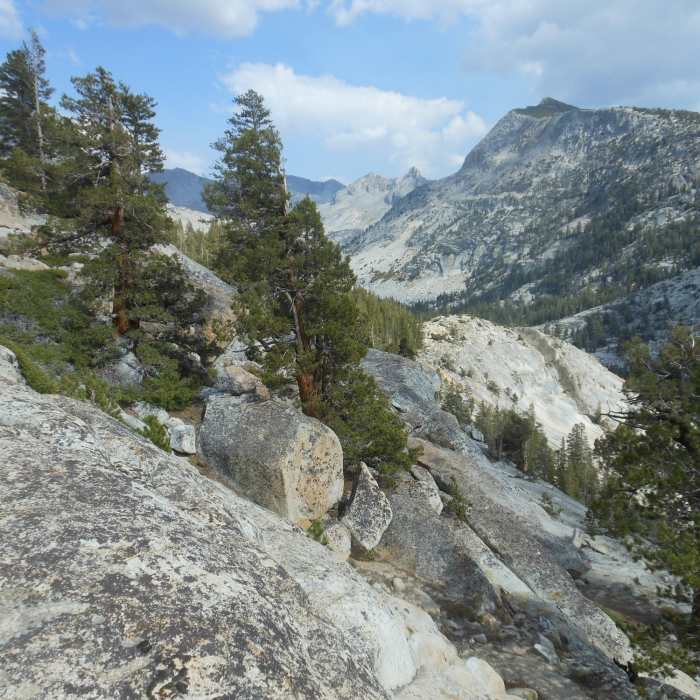
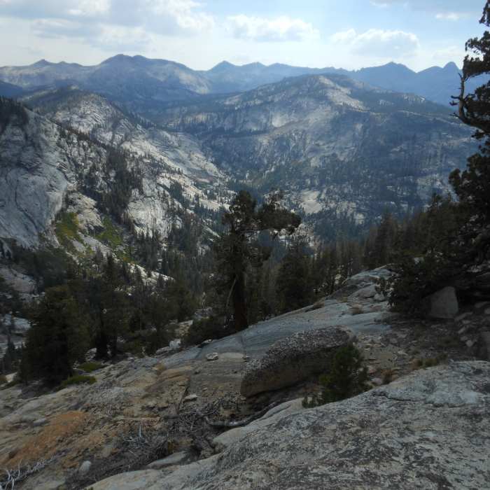
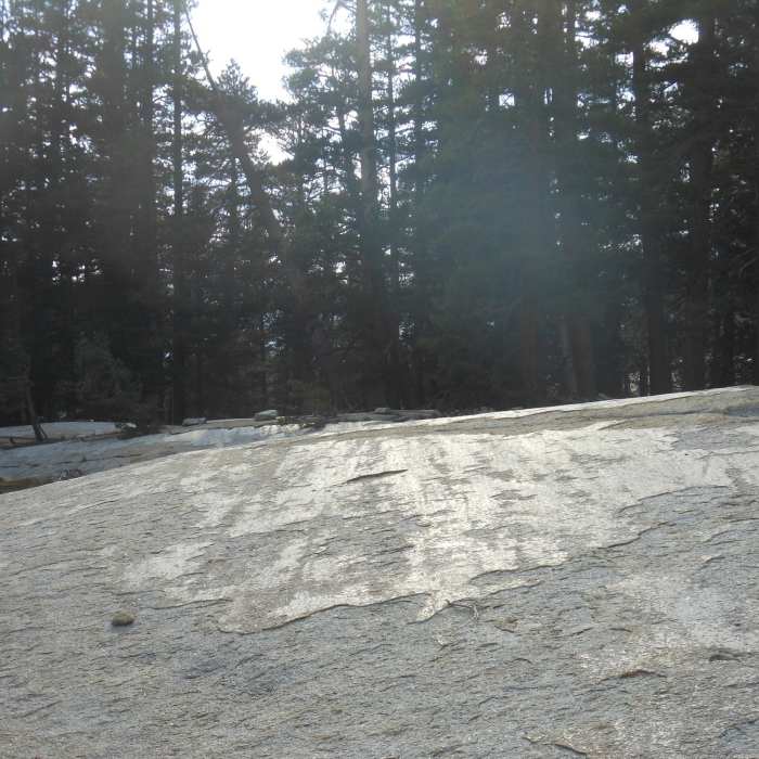
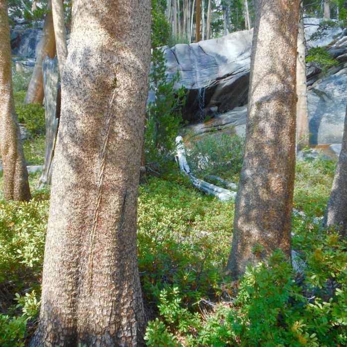
The Merced River Shelf Trail leads visitors south, away from the popular routes between the High Sierra Camps of Merced and Volgelsang camps. You begin by climbing out of the Lewis Creek valley up to the "shelf" above the Merced River. This rim trail stays mostly in the trees as it goes deeper into the wilds of southern Yosemite. At about 5.5 miles, the trail descends and crosses the Lyell Fork of the Merced River.
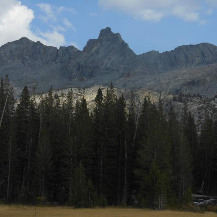
If you have time, take the well used fisherman trail east, following the creek. About a mile in, you'll find great camping north of the creek and killer views from the near by meadows. This valley is one of the places Ansel Adams visited on his first extended trip into the Sierras in 1921 and was always one of his favorite places in the mountains. At the head of this valley is Mount Ansel Adams. It was unofficially named for him in a peak-top ceremony by the Sierra Club in 1934 and then officially named in 1985 one year after his death.
The trail makes a steep climb out of the Lyell Fork of the Merced Valley to return to the shelf and the connections with other trails leading to Isberg Pass, Merced River Valley, and Red Peak Pass.
No Condition Reports
Sunrise to Happy Isles via Clouds Rest and Half Dome
Sunrise to Happy Isles via Clouds Rest and Half Dome
High Sierra Camp: May Lake- Glen Aulin- Tuolumne Meadows
High Sierra Camp: May Lake- Glen Aulin- Tuolumne Meadows
Tuolumne Meadows to Yosemite Valley via Vogelsang Camp
Tuolumne Meadows to Yosemite Valley via Vogelsang Camp
Contributors

