Near John Cummins Trail
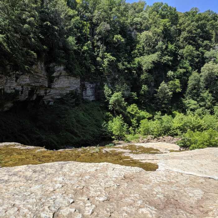
This is from the Cummins Creek Trail.
Near John Cummins Trail
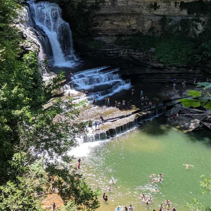
Cummins Falls is a must see!
Near John Cummins Trail
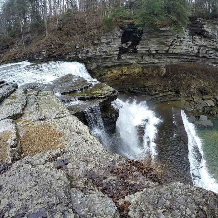
Top of Cummins Falls
Near John Cummins Trail
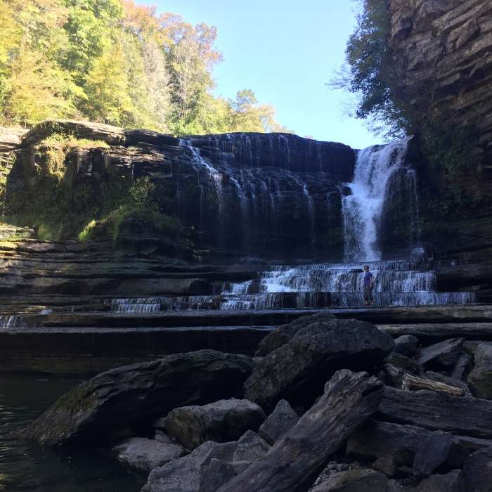
Cummins Falls

Looking for more photos?

View All Photos
Driving Directions
Hike Trail

John Cummins Trail

3.0 (1 Rating)
Alternate trail through the woods to access the overlook above Cummins Falls.
0.4
mi
Distance
83
ft
Gain
moderate
Difficulty
River/CreekViewsWaterfall

Route Details

Flatter
Steeper
0.41mi
Distance
83ft
Elevation Gain
140ft
Elevation Loss
20%
Max Grade
940ft
High Point
814ft
Low Point
Path Type
Point to Point
Description
This trail leaves the southwest corner of the park's parking lot, passing between several picnic tables among the trees before narrowing and becoming a true singletrack. A short way along the trail, an overlook provides views up the river above the falls, and some remnants of the historic mills can be seen below. The trail continues through the woods, with fences along some portions to to protect from the drop off the bluffs to the river below. The trail rejoins the main waterfall access route just above the overlook above the falls.

Route Conditions

Report Conditions
No Condition Reports
Report Conditions

Nearby Hike Routes

Cummins Falls State Park Hike

Hike Route

Cummins Falls State Park Hike

Views
easy
0.87 mi
+220 ft
Window Cliffs

Hike Route

Window Cliffs

Waterfall
easy
2.68 mi
+324 ft
Burgess Falls State Park

Hike Route

Burgess Falls State Park

Waterfall
easy
1.18 mi
+201 ft
Edgar Evins Loop

Hike Route

Edgar Evins Loop

Lake
strenuous
7.09 mi
+1,551 ft
Virgin Falls Lollipop

Hike Route

Virgin Falls Lollipop

Birding
strenuous
7.51 mi
+1,319 ft
Prater Place and Hemlock Falls

Hike Route

Prater Place and Hemlock Falls

Waterfall
moderate
5.69 mi
+933 ft
Contributors
Paul Merklin
