
Ready to explore this trail?
View Trail Map in AppThe usual wilderness area restrictions and regulations apply. Please try to camp 100 ft. from the lakes, and please don't camp in any signed restoration areas. The trail is usually closed by snow from late October to late June. Mosquitos are typically horrific from late June to mid September.
Path Type
Point to Point
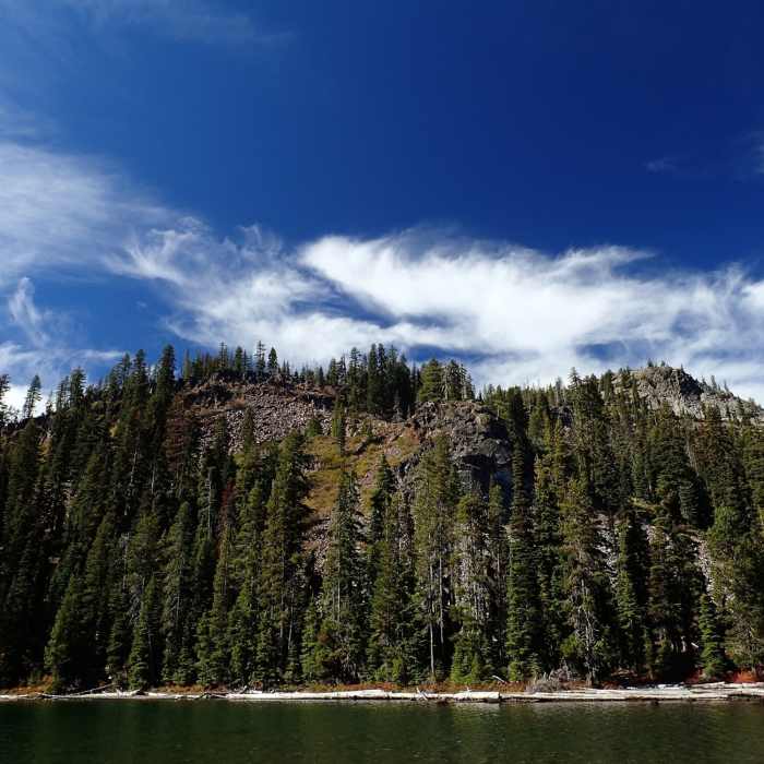
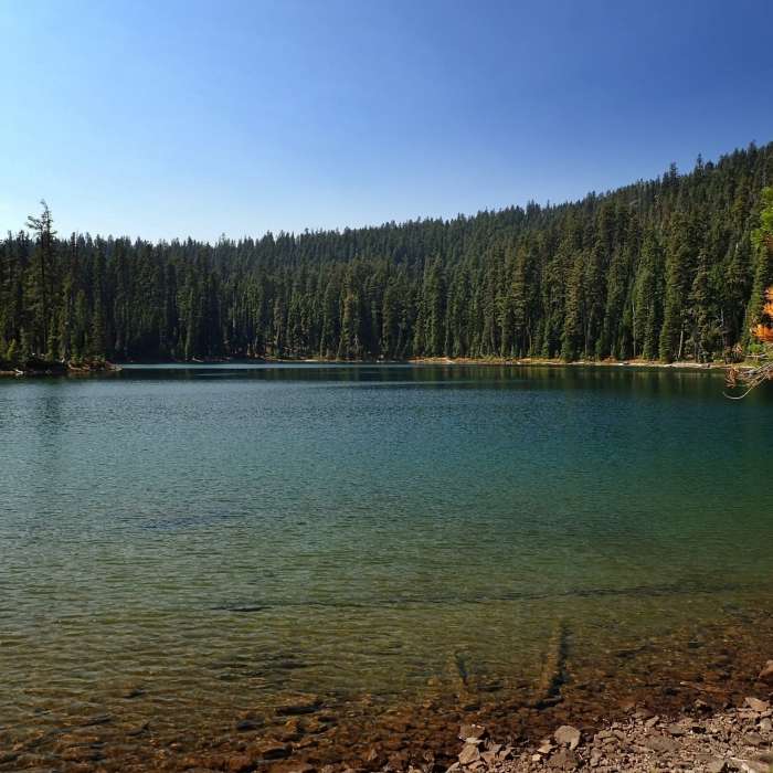
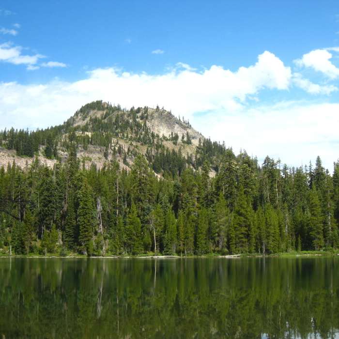
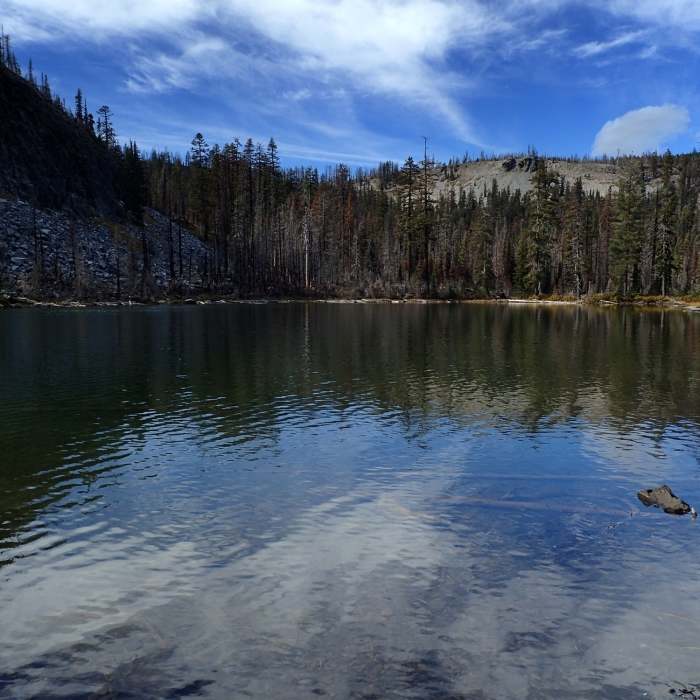
The Sky Lakes Trail (USFS #3762)--the old Oregon Skyline Trail--runs from north to south through the Sky Lakes Basin of the Sky Lakes Wilderness. The south end of the trail is at a junction with the PCT near Deer Lake. The north end is at a junction with the Snow Lakes and Nannie Creek Trails north of Martin Lake. The Sky Lakes Trail connects with several other, shorter trails that access lakes for fishing or swimming opportunities. PCT hikers can follow it for 7.8 miles as a lake-studded alternative to the waterless 5.9-mile stretch of PCT on the ridge above. PCT thru-hikers can connect back to the PCT via either the Divide or Snow Lakes Trails.
No Condition Reports
Contributors

