Near Ubehebe Peak Trail
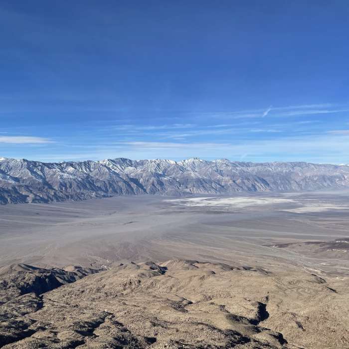
The Saline Valley and the Nelson Range to the west.
Near Ubehebe Peak Trail
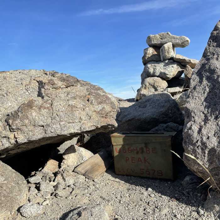
Summit register
Near Ubehebe Peak Trail
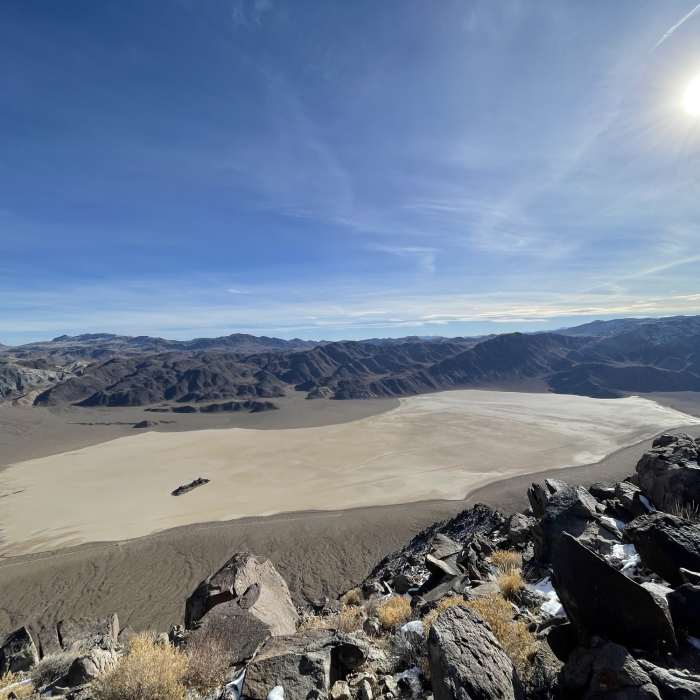
Racetrack Playa

Looking for more photos?

View All Photos
Driving Directions
Hike Trail

Ubehebe Peak Trail

5.0 (2 Ratings)
Runventure to amazing views of the Racetrack Playa.
2
mi
Distance
2,157
ft
Gain
strenuous
Difficulty
Geologically SignificantLess CrowdedViews
Access Issues
DO NOT GO OUT ON THE PLAYA IF IT IS WET OR SOFT! Doing so will damage the surface and can take years to be erased.

Route Details

Flatter
Steeper
2mi
Distance
2,157ft
Elevation Gain
209ft
Elevation Loss
55%
Max Grade
5,668ft
High Point
3,717ft
Low Point
Path Type
Point to Point
Description
Hike and scramble to the top of Ubehebe Peak for unending views. This area is a super remote and magical place and there's a good chance you'll have the summit (and maybe the entire valley) to yourself. There is no water nearby so pack your own. The trail begins at the parking area across the dirt road from the Grandstand sign. It'll start up the slope gradually and then turns into some narrower switchbacks as you climb up to the saddle. Once there, you'll have views into the Saline Valley to the west. Continue up the trail, following cairns if needed (the trail is fairly easy to follow). You'll circle around the west side of the ridge and then back toward the playa. Once back on the ridgetop, you can head north (left) and tag the lower two peaks. To get to Ubehebe, head south (playa to your left) and drop down on the west side of the ridge again. Follow the boot path and cairns up and scramble as necessary. It's pretty hard to lose your way - just head up!

Route Conditions

Report Conditions
No Condition Reports
Report Conditions

Nearby Hike Routes

Dead Horse Canyon Loop

Hike Route

Dead Horse Canyon Loop

Views
moderate
7.08 mi
+1,349 ft
Hunter Mountain Road

Hike Route

Hunter Mountain Road

Less Crowded
extreme
21.37 mi
+3,823 ft
Cottonwood-Marble Canyon Loop

Hike Route

Cottonwood-Marble Canyon Loop

River/Creek
strenuous
26.03 mi
+5,453 ft
Cottonwood Canyon to Hunter Mountain Road

Hike Route

Cottonwood Canyon to Hunter Mountain Road

Views
extreme
47.06 mi
+7,287 ft
Marble Canyon Petroglyphs

Hike Route

Marble Canyon Petroglyphs

extreme
15.37 mi
+3,208 ft
Panamint Dunes

Hike Route

Panamint Dunes

moderate
3.67 mi
+1,055 ft
Contributors
Jason Santos
