Near Little Creek Perimeter Trail
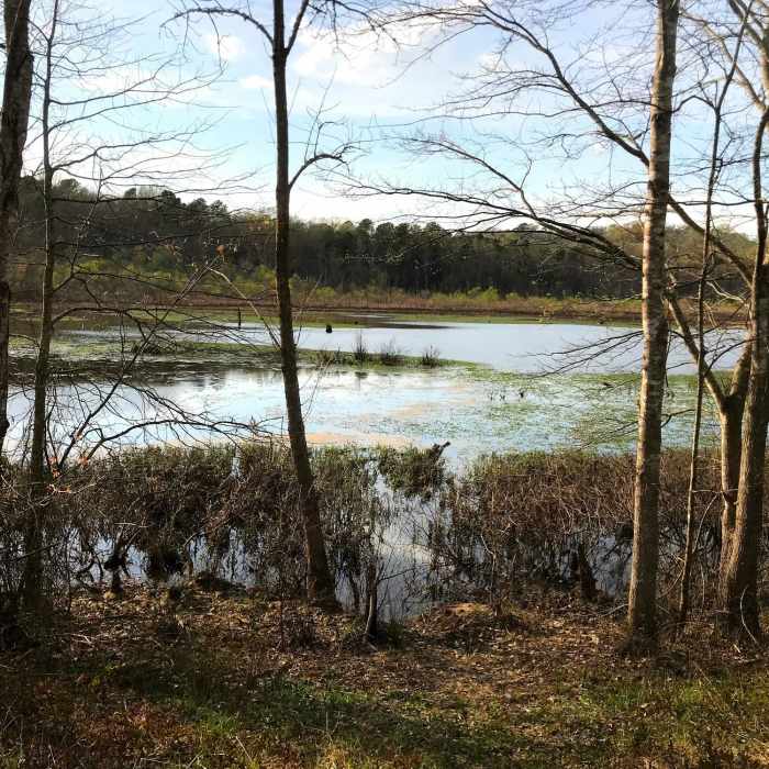
Looking down on the pond
Near Little Creek Perimeter Trail
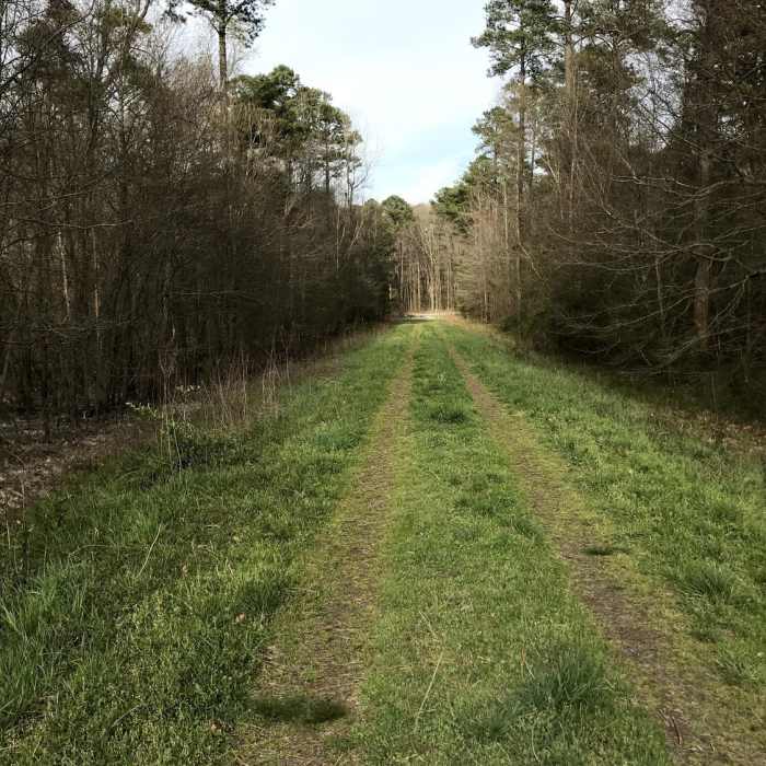
Grassy embankment on trail
Near Little Creek Perimeter Trail
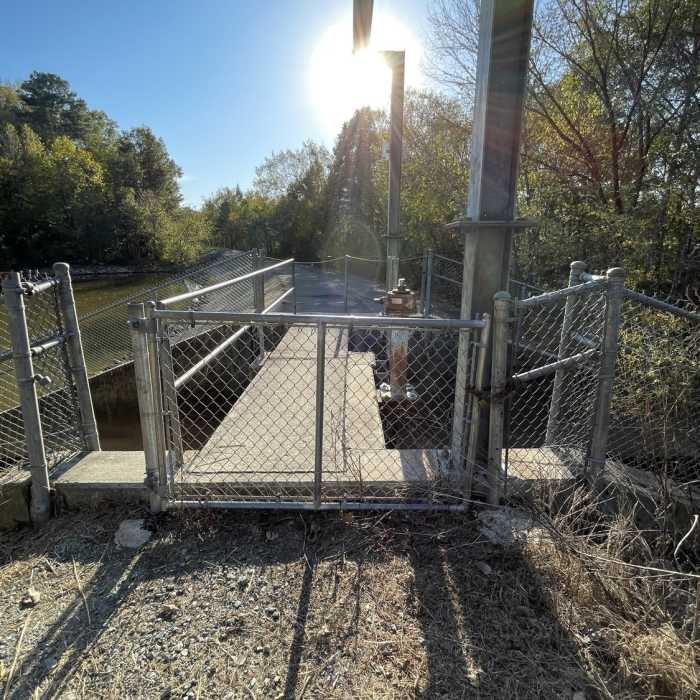
Dam is not easy (or terribly safe) to cross.

Looking for more photos?

View All Photos
Driving Directions
Hike Trail

Little Creek Perimeter Trail

3.0 (2 Ratings)
A poorly defined trail that skirts the edge of the wetlands.
1.4
mi
Distance
28
ft
Gain
strenuous
Difficulty
BirdingLakeRiver/Creek

Route Details

Flatter
Steeper
1.41mi
Distance
28ft
Elevation Gain
16ft
Elevation Loss
10%
Max Grade
257ft
High Point
235ft
Low Point
Path Type
Point to Point
Description
Starting off on the Little Creek Trail, the trail skirts the edge of a subdivision. In many spots the trail is seems to disappear but you just need to look for the blue blazes on trees to keep your way. The first mile of the trail ends at the seasonal parking lot. From here the trail changes character as it becomes a broad doubletrack. Shortly you cross a barrier and then stroll along the edge of a pond which often contains lots of waterfowl. The trail deadends at the Slopes Loop Trail.

Route Conditions

Report Conditions
No Condition Reports
Report Conditions

Nearby Hike Routes

Battle Branch / Bolin Creek Loop

Hike Route

Battle Branch / Bolin Creek Loop

Birding
moderate
3.53 mi
+206 ft
Korstian Foot Trail Loop

Hike Route

Korstian Foot Trail Loop

Birding
moderate
6.82 mi
+644 ft
Duke Korstian Loop

Hike Route

Duke Korstian Loop

Birding
moderate
4.01 mi
+403 ft
Al Buehler and Sally Meyerhoff Trails

Hike Route

Al Buehler and Sally Meyerhoff Trails

Birding
moderate
3.71 mi
+259 ft
Johnston Mill Loop

Hike Route

Johnston Mill Loop

Fall Colors
moderate
2.94 mi
+194 ft
Duke Gardens Loop

Hike Route

Duke Gardens Loop

Fall Colors
easy
1.56 mi
+122 ft
Contributors
Russell Hobart
