
Ready to explore this trail?
View Trail Map in AppThe southwest corner of the park is the wettest, receiving over 70 inches of precipitation a year, mostly in the form of snow. Snow cover may prevent traversing the Pitchstone well into July. Once the snows are gone, the only reliable water source is near the campsites at the 6-mile mark of the trail.
Path Type
Point to Point
The Pitchstone Plateau Trail begins on the West Thumb to South Entrance road south of Lewis Falls. The 17.7 mile trail ends at a junction with the Mountain Ash Creek Trail a mile from Grassy Lake Reservoir, 10 miles west of Flagg Ranch on the gravel Flagg Ranch to Ashton, Idaho NFS road (sometimes called the Grassy Lake Road).
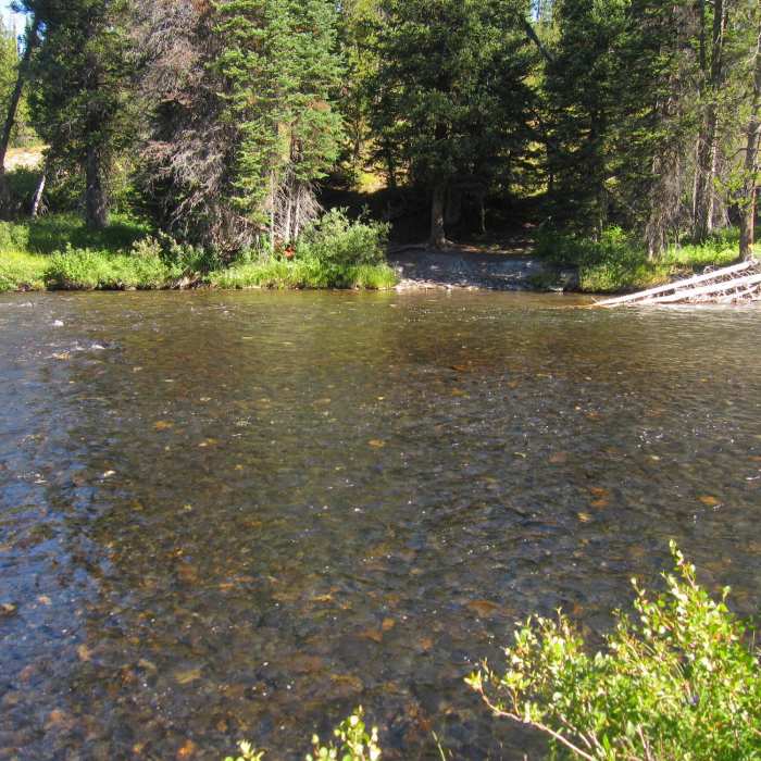
The trail begins with a hardy 320-foot ascent of the eastern edge of the plateau in the first 1/2 mile. It continues climbing (less steeply) through a forest heavily burned by the 1988 fires, gaining another 350 feet over the next 4 miles. At the 4.8-mile mark the first point of interest is reached Phantom Fumarole, which is a small thermal area. This spot is mostly dry, with a few steam vents (called fumaroles) and mud pots. The trail continues southwest and passes several campsites at the 6-mile mark. Freshwater springs in the area make this the only reliable late summer water source on the plateau.
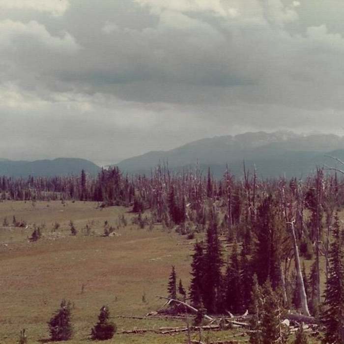
Soon the trees become more sparse, and you enter ever larger open meadows, and the trail becomes less distinct on the ground. Watch closely for the chain of rock cairns that mark your way. Watch also for the unusual low rock ribs that punctuate the meadows. These are folds or ripples in the solidified volcanic lava flow that lies just under the surface. The thin layer of topsoil may also be the cause of the stunted tree-growth in the area.
A brief geology lesson is in order. The most recent Yellowstone caldera welled-up and blew-out some 630,000 years ago, leaving a giant crater or caldera in the center of Yellowstone. Over time, more than 30 volcanic lava flows erupted and flowed out across the land, filling up the crater. The Pitchstone Plateau, which formed just 70,000 years ago is the youngest lava flow in the park. Other evidence of this lava flow are the many pieces of shiny black and brown volcanic rock in the area. These are pieces of glass-like obsidian and similar, but more-coarse, pitchstone, for which the plateau is named.
The trail makes a large bend to the right and climbs 150 feet to its highpoint at the 9-mile mark. Here the views are spectacular! To the south, the mighty Tetons lie at your feet. To the north, the unusual open meadows that crown the Pitchstone unfold before you. From here the trail bends back to the left, reenters the trees, and gradually drops 1,700 feet over the last 8 miles to its end at a junction with the Mountain Ash Creek Trail.
Thanks to guidebook author, Tom Carter, for sharing this trail description. To learn more about visiting Yellowstone, check out his book, Day Hiking Yellowstone.
No Condition Reports
Contributors

