Near Waterfall Trail (Blue)
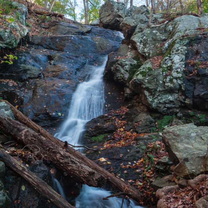
Waterfall
Near Waterfall Trail (Blue)
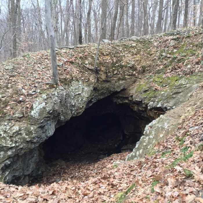
old iron ore workings, the Young's mine

Looking for more photos?

View All Photos
View Map
Driving Directions
Hike Trail

Waterfall Trail (Blue)

3.0 (1 Rating)
A short trail to the scenic waterfall at the top of the ridge.
0.4
mi
Distance
283
ft
Gain
moderate
Difficulty
BirdingFall ColorsRiver/CreekWaterfallWildflowersWildlife

Route Details

Flatter
Steeper
0.38mi
Distance
283ft
Elevation Gain
104ft
Elevation Loss
30%
Max Grade
905ft
High Point
663ft
Low Point
Path Type
Point to Point
Description
On Schooleys Mountain Road next to the trailhead, there is the parking lot for a few cars. The trail is unmaintained. Hike over the bridge and follow the blue mark. The trail is short and steep with small rocks and roots. There are two picnic tables on the trail. One of the tables is next to the waterfall. Be very careful when you hike down as it is easy to slide and fall over on small rocks.

Route Conditions

Report Conditions
No Condition Reports
Report Conditions

Nearby Hike Routes

Stephens State Park Loop

Hike Route

Stephens State Park Loop

Views
moderate
8 mi
+923 ft
Point Mountain Reservation - North to South

Hike Route

Point Mountain Reservation - North to South

Birding
strenuous
5.96 mi
+1,329 ft
Cooper Gristmill to Kay's Cottage via Patriot's Path

Hike Route

Cooper Gristmill to Kay's Cottage via Patriot's Path

Waterfall
easy
3.43 mi
+264 ft
Point Mountain Loop

Hike Route

Point Mountain Loop

Birding
moderate
2.7 mi
+583 ft
Deer Park Loop

Hike Route

Deer Park Loop

Less Crowded
moderate
10.3 mi
+893 ft
Waterloo - Cardiac Loop

Hike Route

Waterloo - Cardiac Loop

easy
3.34 mi
+664 ft
Contributors
Miroslaw Wierzbicki
