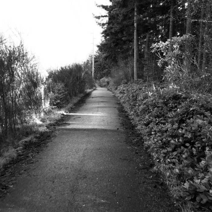
Near Kettles Roadside Trail
Kettles trail along SR 20.

Looking for more photos?

View All Photos
Driving Directions
Hike Trail

Kettles Roadside Trail

5.0 (1 Rating)
A rougher cut section of the Kettles Trail.
1.3
mi
Distance
83
ft
Gain
moderate
Difficulty
Fall ColorsSpringViewsWildflowers
Access Issues
Closes at dusk.

Route Details

Flatter
Steeper
1.33mi
Distance
83ft
Elevation Gain
269ft
Elevation Loss
10%
Max Grade
232ft
High Point
45ft
Low Point
Path Type
Point to Point
Description
Don't get confused. This is all the same Kettles Trail, it just splits in two directions which makes it hard to map as one trail. This is the northern extension. Starting at the main parking lot pull-out for the Kettles Trail, take a left onto the !Kettles Trail Roadside Trail (note: the signs refer to it as the Kettles Trail). Follow this until you end at a gravel lot. There are a few trails that branch off of this, as well as driveways and roads. This is an awesome section of the Kettles Trail; you'll go over and around many hills and through quite a few trees.

Route Conditions

Report Conditions
No Condition Reports
Report Conditions

Nearby Hike Routes

Main Line Loop

Hike Route

Main Line Loop

Views
moderate
4.88 mi
+621 ft
Prairie Overlook Trail

Hike Route

Prairie Overlook Trail

Views
easy
0.75 mi
+0 ft
Fort Casey Tour

Hike Route

Fort Casey Tour

Birding
strenuous
2.38 mi
+178 ft
Fort Worden Historic Bunker

Hike Route

Fort Worden Historic Bunker

Birding
moderate
2.43 mi
+250 ft
Pacific Northwest National Scenic Trail Section 13

Hike Route

Pacific Northwest National Scenic Trail Section 13

Views
extreme
95.23 mi
+21,044 ft
Four Springs Lake Preserve Loop

Hike Route

Four Springs Lake Preserve Loop

Birding
moderate
1.29 mi
+136 ft
Contributors
Isaac Bozeman
