Ready to explore this trail?
View Trail Map in AppIf it rained today the trail is closed tomorrow. Trail is also closed during freeze/thaw cycles. Check trail status on Facebook at Cochran Mill Trails. If you encounter wet trails, regardless of when it rained, please respect them and consider the 20-mile gravel loop that leaves from the park.
Path Type
Point to Point
The Red Trail is a moderate trail that leads to the beautiful Henry Mill Falls. To find the trailhead, hike downhill from the parking lot and cross the two bridges on Cochran Mill Road, as you start to climb, look for the entrance on the left.
The trail starts as you turn off Cochran Mill Road and descends to a raised turn that continues through a swamp. Once across the swamp, you'll be back on singletrack for a short distance to an intersection, this is the start of the loop. The trail has a very different fill depending on which way you choose to go. If you prefer climbs on narrow singletrack, stay straight / right and this will lead you to EMT Hill. If you prefer an easier climb, turn left and follow Bear Creek downstream.
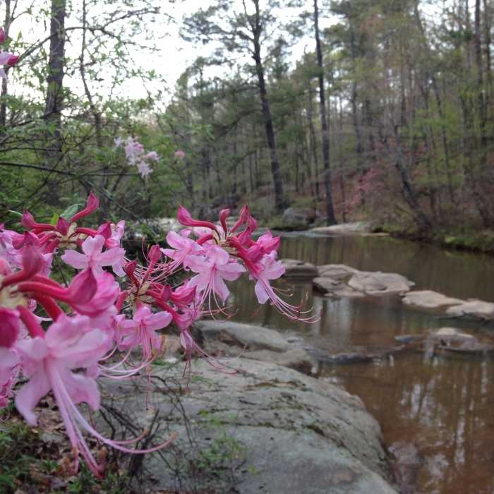
The main highlight of the trail is Henry Mill Falls, however, there is much more to see along the trail and you'll soon forget you are only 15 minutes from the world's busiest airport. On the Big Ridge section of the trail, you'll be treated to great winter vistas from the top of the ridge, large rock outcrops and a fern-filled valley as you descend back to Bear Creek. There is a short section of 2-way traffic as you continue downstream. After a small creek crossing, you'll encounter a smaller loop. If you continue downstream, first you'll pass across the top of Henry Mill Falls before descending to an old Jeep road. Follow the road uphill and look for the singletrack trail coming down from the right. This technical climb will lead to outstanding views above the creek. Head back down the 2-way section then hook a left to wind back down the section of the Red Trail you haven't done yet. At 6.1 miles the trail intersects with the start of the loop. Take a left to head back to the road.
The most important part about this trail is to take your time and enjoy the scenery, which changes constantly with the seasons.
All Clear
Looking for more condition reports?
Contributors

