
Ready to explore this trail?
View Trail Map in AppPath Type
Point to Point
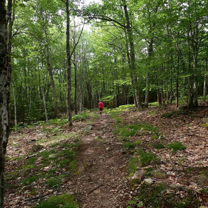
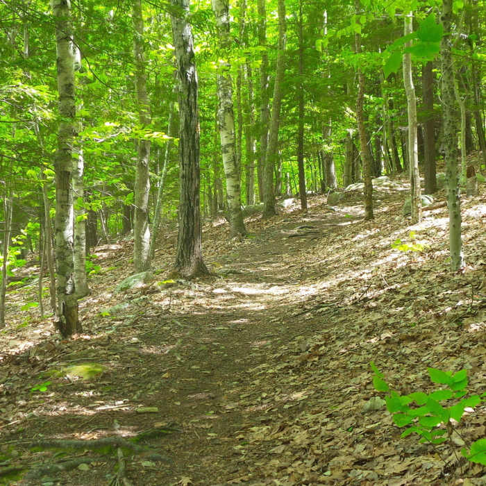
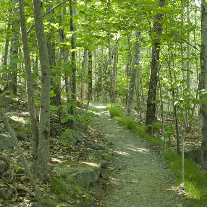
The Kebo Brook Trail is a 1.1 mile trail that begins along Paradise Hill Road, follows some of the Park Loop Road, and ends at Kebo Street along the Kebo Valley Golf Club. Starting at a small parking lot along Paradise Hill Road, the trail enters a young forest and approaches the Park Loop Road.
The trail passes the Cadillac North Ridge Trail, which takes off uphill to the right and leads to the Summit of Cadillac Mountain a little past a 1/10th of a mile. The trail begins to go downhill and will continue gently in this direction until you hit the 1/2 mile point. Here, the Gorge Path breaks off to the right while the continues straight ahead.
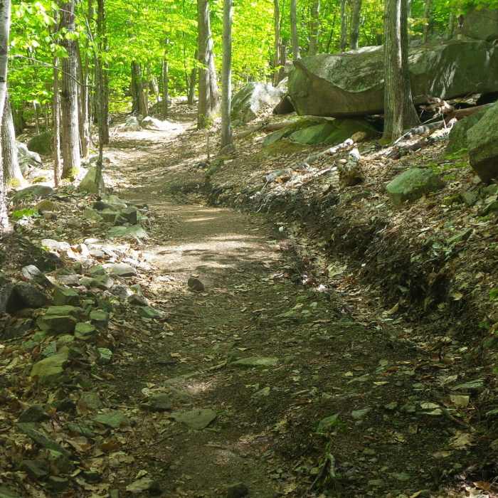
The trail drops down and crosses Kebo Brook, for which the trail takes its name, shortly after the 6/10ths mile point. The brook is easily crossed by rocks unless there has been significant rainfall recently. The trail starts to approach the Kebo Valley Golf Club and you can hear golfers as they play a round at the course off on the left hand side of the trail. At 3/4 of a mile, you pass the Kebo Mountain Trail and then within a 1/10th of a mile, you pass the the Stratheden Path, all on the right hand side of the trail.
The trail continues until it reaches its end at Kebo Street where you have several options. You can follow the Great Meadow Loop for a chance to see the Great Meadow and more of the golf course, or you can retrace your steps back to your car.
This trail is particular popular in the evenings as locals use the trails for evening exercise and to hike three dogs. As you can see from all the intersections that this trail has with other trails in the area, parts of it can be utilized to create nice loops that include Cadillac Mountain, Dorr Mountain, the Gorge, and other trails in the Sierra de Monts area.
No Condition Reports
Contributors

