

Ready to explore this trail?
View Trail Map in AppPath Type
Loop
Swift Creek Trail is a loop that can be accessed in several places. As described here, it starts along Valemount's Main Street on the northwest side of Swift Creek, at a trailhead sign.
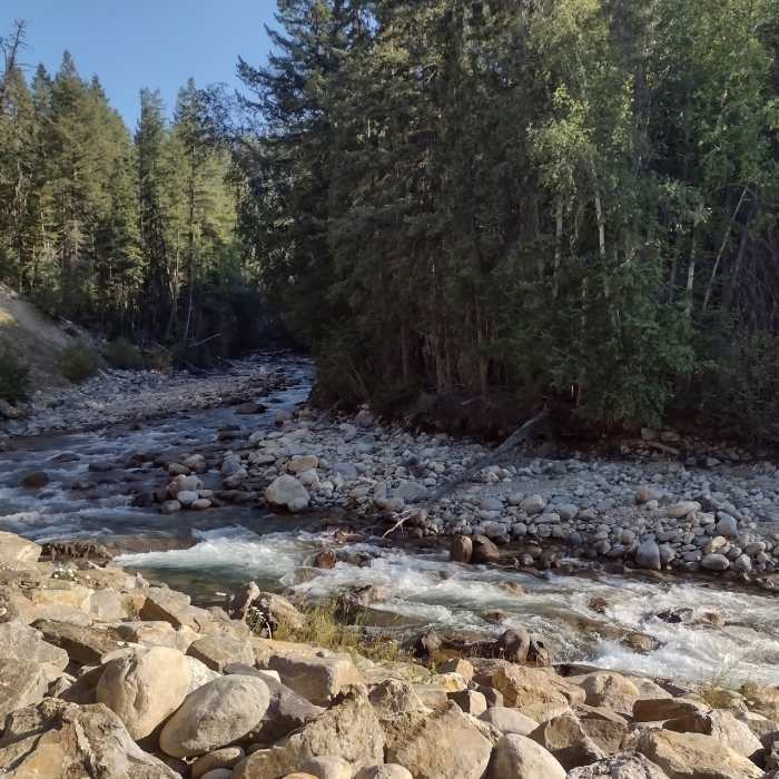
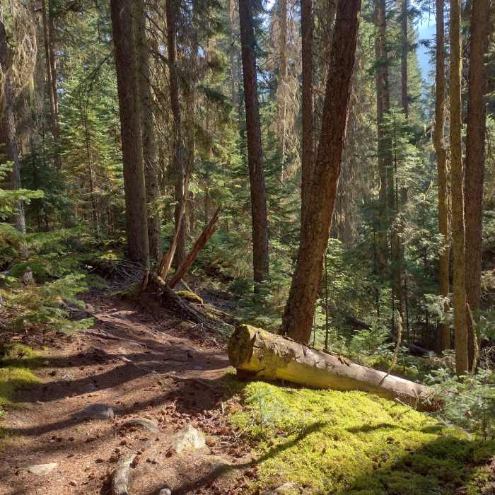
Swift Creek Trail begins in the forest alongside of Swift Creek that is to the right. At the 0.7 mile mark, a short climb takes one high above the creek, to the Swift Creek Lookout. At the lookout, there are spectacular views of the surrounding mountains in all directions, and a picnic table - this is a great place for a break.
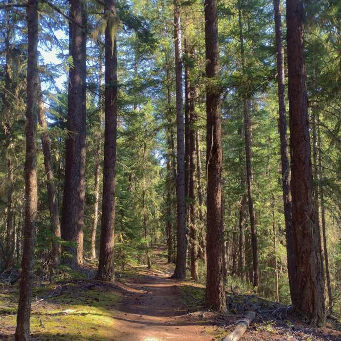
Leaving the lookout behind, the trail continues on in the dense, lush forest. Now above the creek, the creek can be heard, but not seen. Following the creek upstream, the trail is fairly flat. By the 2.7 mile mark the creek has climbed up to the trail's elevation. This is where the trail crosses the creek on an impressive suspension bridge.
Immediately after crossing the creek the trail veers right to follow the creek downstream. Soon one finds themself in a dark tunnel of cedars, HUGE, stately cedars. At the 3.9 mile mark, the trail bends to the left and moves away from the creek. A gentle climb brings one to a road at the 4.35 mile mark.
Cross the road and follow the path in the woods that parallels the road. Watch for flagging and other signs to stay on the trail. At the 4.9 mile mark, the trail comes out of the trees and crosses the road again, as it heads into a large parking area, at a major trailhead for all the biking trails here.
Now in the parking area, turn right onto another road and look for trail signs from here to the end of this loop, to stay on course. There are many twists and turns as the trail goes through local streets as it passes homes and other signs of civilization for its last 0.9 miles
No Condition Reports
Contributors

