Ready to explore this trail?
View Trail Map in AppPath Type
Point to Point
The Canty Trail is a moderate out-and-back forest trail with beautiful woodland views, cascades, and a scenic view at the top of Blue Ridge Mountain. The trail begins fairly level, crossing over small creeks and streams for about a mile.
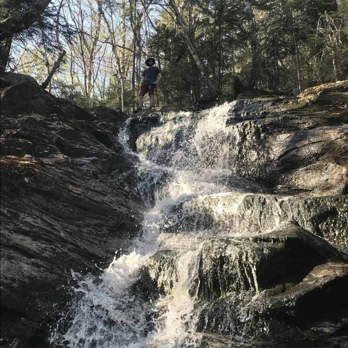
At around 1.5 miles, the trail becomes much steeper as it begins to point up the mountain and 0.1 miles ahead you can take the spur trail on the right to the Cascades, a beautiful waterfall tumbling down the side of a rock face.
After passing the Cascade Spur Trail, you'll see the vegetation begins to change as you come closer to the summit. This point of the trail is definitely steeper but there are no rock scrambles or anything excessively difficult for the next stretch. At mile 2.1, the woods begin to change, and for the next 0.3 miles to the summit, the trees become dwarfed versions of the ones below.
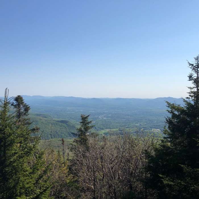
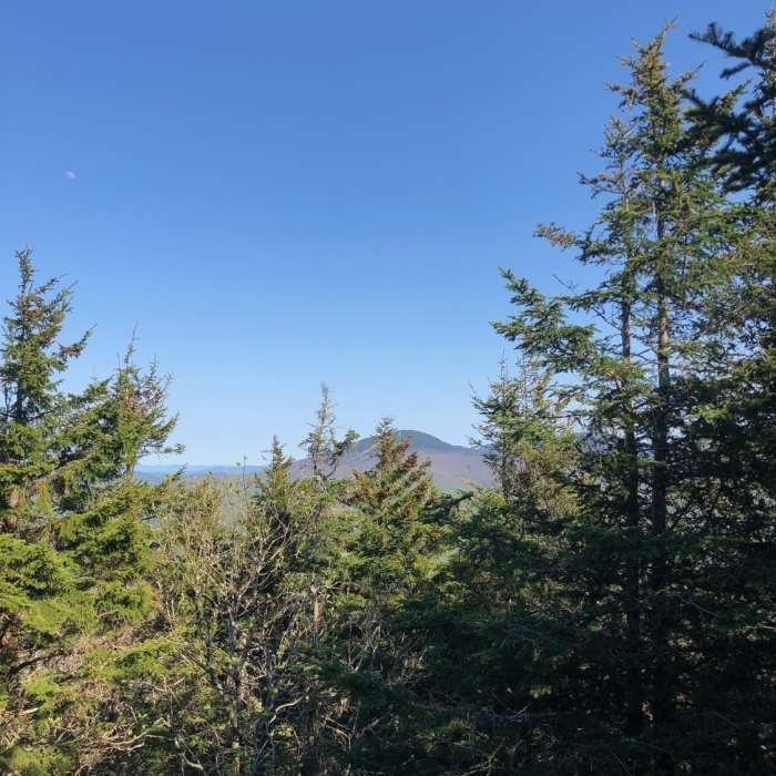
Here, you'll start to see open sky and reach the junction where you can go right to the summit or left to the scenic overlook. The summit has only a partial view of Pico and the surrounding mountains to the east and north, but the rock outcrop to the left, down the trail 0.1 miles, looks south and west over Rutland to the Coolidge Range and as far out as the Adirondacks.
No Condition Reports
The Long Trail (Division 6)
The Long Trail (Division 6)
Pico Peak via Sherburne Pass Trail
Pico Peak via Sherburne Pass Trail
Deer Leap Overlook
Deer Leap Overlook
Contributors

