Ready to explore this trail?
View Trail Map in AppEl Capitan County Preserve is closed in August due to heat.
Parking lot open 8am-sunset. Pedestrian access sunrise to sunset.
Path Type
Point to Point
Note: El Cajon Mountain is the mountain's official name, but El Capitan is used colloquially. The two terms are used interchangeably by locals, but there is only one El Cap, and it is in Yosemite.
Getting there: The trailhead is located on the right side of Wildcat Canyon Road when traveling from Lakeside to Barona Indian Reservation. Expect the main parking lot and the Oakoasis county preserve parking lot located across the street to be full on the weekend. There is limited parking on the roadside, but be careful as this road is busy and dangerous. Get there right at 8 a.m. when the gate opens to avoid the heat and crowds.
The Trail: With the exception of the .5 miles above the trailhead and the .25 miles below the summit block, this trail is more of a wilderness freeway/doubletrack truck trail. The concept of switchbacks clearly eluded the trail builders as it takes a very direct path up the mountain. It is well traveled so one does not get the back-country adventure feel, however this is ideal for a quad-burning hike. It is very well-signed; route finding will not be an issue.
Directions: From the parking lot, head up a dirt road with a 100yd section of reddish concrete road. Private property lines this road, but don't be fooled this is not someone's driveway. The official trailhead is .5 miles up the road and has bathrooms and picnic tables, but there is no parking allowed here. Pass the bathrooms, follow signs for El Cajon Mountain and take a left at the fork. The trail turns to singletrack switchbacks and continues to climb for another half mile.
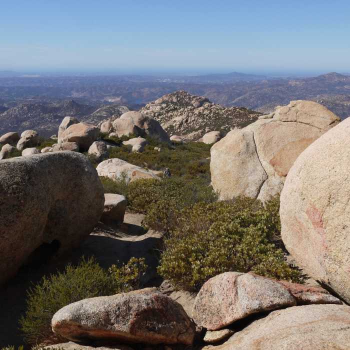
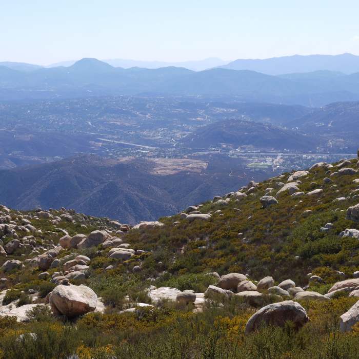
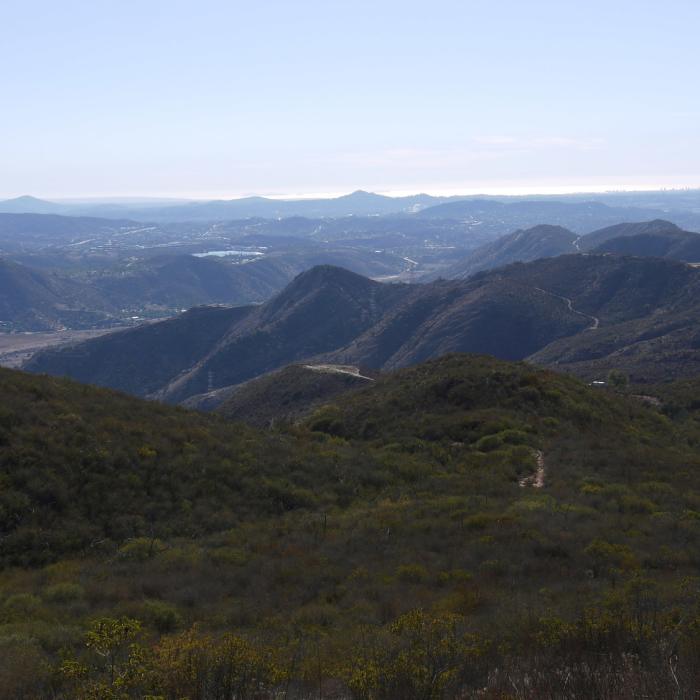
At the top of the ridge, the trail widens to dirt singletrack and continues at a moderate downhill grade for the next 1.2 miles. Multiple trails crisscross the main trail in this section but stay on the most obvious path and follow signs for El Cajon Mountain Summit. The next 1.7-mile section is wide doubletrack but is extremely steep and loose gravel makes footing tenuous. This is the most strenuous section of the climb. The trail then levels out on a ridge with great views. This is a common turnaround point and is a perfect stopping point for a moderate 7 mile out-and-back.
After this point, the trail narrows and follows a very rocky, shaded wash downhill for .7 miles. The next mile is a steep climb on less well-maintained doubletrack. The final quarter mile push to the summit is on a steep, rocky, slightly overgrown singletrack trail with light scrambling required. The trail is faint, but very well marked.
All Clear
All Clear
All Clear
All Clear
Looking for more condition reports?
Contributors

