Near Summit Trail
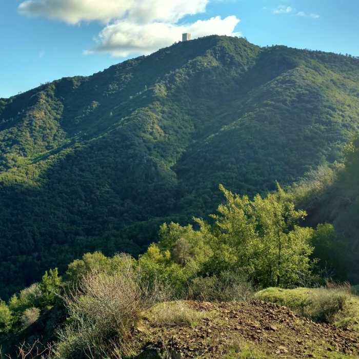
Mt. Umunhum, 3,488 ft., as seen from the north
Near Summit Trail
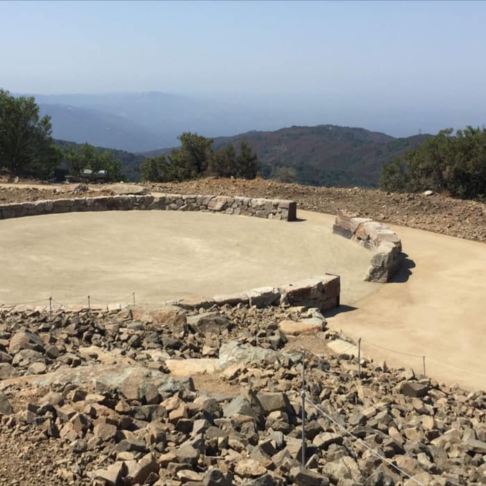
Native American Ceremonial Circle on top of Mount Umunhum. A sacred place for thousands of years to Native Americans.
Near Summit Trail
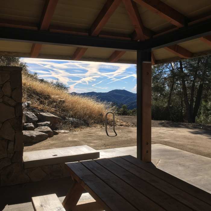
Very clean resting/picnic area near the top.
Near Summit Trail
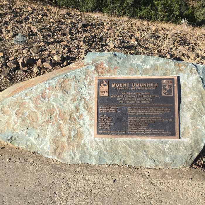
Plaque near the top.
Near Summit Trail
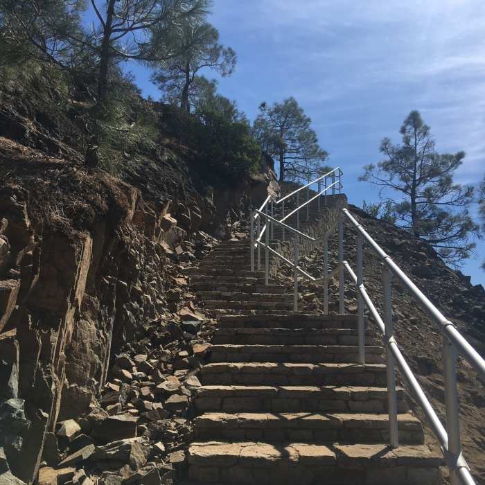
Steps in last section of the Mount Umunhum Trail, leading to the summit.

Looking for more photos?

View All Photos
Driving Directions
Hike Trail

Summit Trail

3.3 (3 Ratings)
An easy trail with great views of the surrounding area.
0.3
mi
Distance
13
ft
Gain
easy
Difficulty
Views

Route Details

Flatter
Steeper
0.28mi
Distance
13ft
Elevation Gain
4ft
Elevation Loss
10%
Max Grade
3,476ft
High Point
3,459ft
Low Point
Path Type
Point to Point
Description
This ADA accessible trail circles around the summit of Mount Umunhum to provide great views of the Silicon Valley below. On a clear day, hikers can see all the way to San Francisco, Monterey Bay, and the Pacific Ocean. There are great views of all the mountains in the area, including Mount Hamilton and Mount Diablo.

Route Conditions

Report Conditions
No Condition Reports
Report Conditions

Nearby Hike Routes

Bald Mountain Out and Back

Hike Route

Bald Mountain Out and Back

Views
easy
1.3 mi
+85 ft
Mount Umunhum Summit and Back

Hike Route

Mount Umunhum Summit and Back

Birding
moderate
7.86 mi
+1,197 ft
Quicksilver - McAbee Loop CCW

Hike Route

Quicksilver - McAbee Loop CCW

Family Friendly
moderate
4.45 mi
+771 ft
Quicksilver History Loop

Hike Route

Quicksilver History Loop

Family Friendly
moderate
6.8 mi
+1,358 ft
Almaden Quicksilver County Park Historic Trail

Hike Route

Almaden Quicksilver County Park Historic Trail

Dogs Allowed
moderate
6.62 mi
+1,420 ft
Rancho San Vicente Loop

Hike Route

Rancho San Vicente Loop

Birding
moderate
8.24 mi
+946 ft
Contributors
Shlomo Waser
